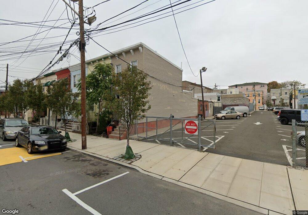
320 12th St Union City, NJ 07087
Estimated Value: $422,000 - $469,413
--
Bed
--
Bath
752
Sq Ft
$601/Sq Ft
Est. Value
About This Home
This home is located at 320 12th St, Union City, NJ 07087 and is currently estimated at $451,603, approximately $600 per square foot. 320 12th St is a home located in Hudson County with nearby schools including Colin Powell Elementary School, Sara M. Gilmore Academy, and Emerson Middle School.
Ownership History
Date
Name
Owned For
Owner Type
Purchase Details
Closed on
Oct 22, 2004
Sold by
Rosas Marcos and Rosas Felicia Soto
Bought by
Patel Nilesh and Patel Silquia
Current Estimated Value
Purchase Details
Closed on
Mar 26, 2001
Sold by
Wilcox Louis and Wilcox Silvia
Bought by
Rosas Marcos A and Rosas Felicia Soto
Home Financials for this Owner
Home Financials are based on the most recent Mortgage that was taken out on this home.
Original Mortgage
$87,594
Interest Rate
6.88%
Mortgage Type
FHA
Create a Home Valuation Report for This Property
The Home Valuation Report is an in-depth analysis detailing your home's value as well as a comparison with similar homes in the area
Home Values in the Area
Average Home Value in this Area
Purchase History
| Date | Buyer | Sale Price | Title Company |
|---|---|---|---|
| Patel Nilesh | $135,000 | First Financial Title Agency | |
| Rosas Marcos A | $89,000 | Commonwealth Land Title Ins |
Source: Public Records
Mortgage History
| Date | Status | Borrower | Loan Amount |
|---|---|---|---|
| Previous Owner | Rosas Marcos A | $87,594 |
Source: Public Records
Tax History Compared to Growth
Tax History
| Year | Tax Paid | Tax Assessment Tax Assessment Total Assessment is a certain percentage of the fair market value that is determined by local assessors to be the total taxable value of land and additions on the property. | Land | Improvement |
|---|---|---|---|---|
| 2025 | $6,754 | $373,500 | $159,000 | $214,500 |
| 2024 | $6,642 | $365,500 | $155,000 | $210,500 |
| 2023 | $6,642 | $86,400 | $42,600 | $43,800 |
| 2022 | $6,403 | $86,400 | $42,600 | $43,800 |
| 2021 | $6,381 | $86,400 | $42,600 | $43,800 |
| 2020 | $6,308 | $86,400 | $42,600 | $43,800 |
| 2019 | $6,137 | $86,400 | $42,600 | $43,800 |
| 2018 | $6,022 | $86,400 | $42,600 | $43,800 |
| 2017 | $5,965 | $86,400 | $42,600 | $43,800 |
| 2016 | $5,953 | $86,400 | $42,600 | $43,800 |
| 2015 | $5,850 | $86,400 | $42,600 | $43,800 |
| 2014 | $5,723 | $86,400 | $42,600 | $43,800 |
Source: Public Records
Map
Nearby Homes
- 1208 Palisade Ave Unit 3
- 416 11th St
- 1201 Bergenline Ave
- 1215 Bergenline Ave
- 1000 Palisade Ave
- 1400 Manhattan Ave
- 1203 Morris St
- 904 Bergenline Ave
- 1515 Manhattan Ave
- 612 12th St
- 413-415 9th St Unit 204
- 413 16th St
- 513 15th St
- 419 16th St
- 518 14th St
- 806 Palisade Ave
- 801 Palisade Ave Unit 305
- 521 10th St Unit 3
- 521 10th St Unit 2
- 416 8th St
- 320 12th St Unit HOUSE
- 322 12th St
- 322 12th St Unit entire house
- 324 12th St
- 326 12th St
- 1204 New York Ave
- 328 12th St
- 330 12th St
- 1206 New York Ave
- 1206 New York Ave Unit 1
- 1206 New York Ave Unit 2
- 1206 New York Ave Unit . 2
- 314 12th St
- 332 12th St
- 325 12th St
- 325 12th St Unit 1
- 325 12th St Unit 2
- 312 12th St
- 327 12th St
- 321 13th St