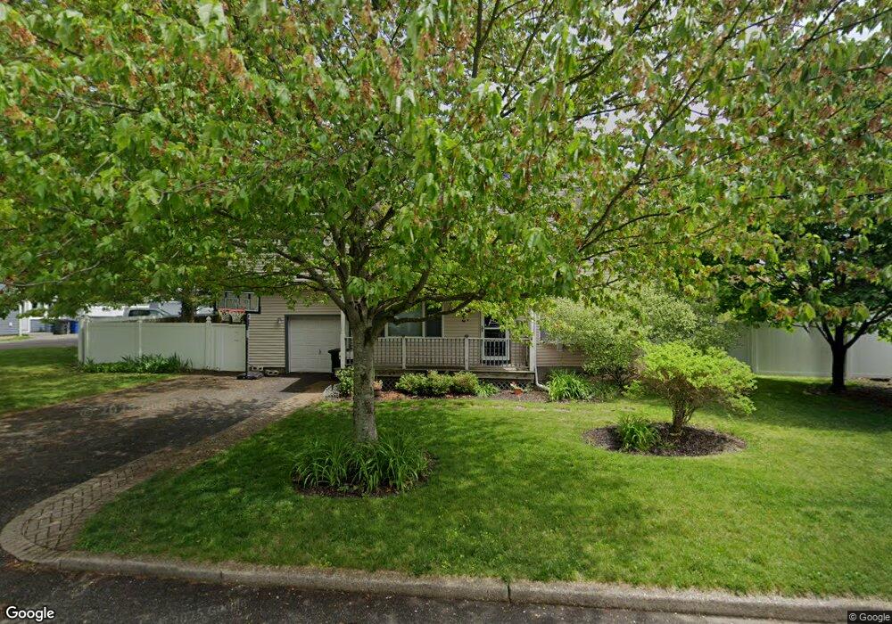
320 1st St East Northport, NY 11731
Estimated Value: $689,000 - $838,333
4
Beds
4
Baths
--
Sq Ft
0.34
Acres
About This Home
This home is located at 320 1st St, East Northport, NY 11731 and is currently estimated at $772,583. 320 1st St is a home located in Suffolk County with nearby schools including Northport Senior High School, Trinity Regional School-East Northport Campus, and The School House.
Ownership History
Date
Name
Owned For
Owner Type
Purchase Details
Closed on
Aug 1, 2014
Sold by
Poletti Lydia O and Poletti James J
Bought by
Miller Sarah L and Miller Benjamin W
Current Estimated Value
Home Financials for this Owner
Home Financials are based on the most recent Mortgage that was taken out on this home.
Original Mortgage
$413,250
Outstanding Balance
$314,866
Interest Rate
4.09%
Mortgage Type
New Conventional
Estimated Equity
$457,717
Purchase Details
Closed on
Aug 19, 1997
Sold by
Walter Richard and Walter Patricia
Bought by
Poletti James J and Poletti Lydia O
Create a Home Valuation Report for This Property
The Home Valuation Report is an in-depth analysis detailing your home's value as well as a comparison with similar homes in the area
Home Values in the Area
Average Home Value in this Area
Purchase History
| Date | Buyer | Sale Price | Title Company |
|---|---|---|---|
| Miller Sarah L | $435,000 | Chicago Title | |
| Poletti James J | $176,000 | Pioneer Land Title Corp |
Source: Public Records
Mortgage History
| Date | Status | Borrower | Loan Amount |
|---|---|---|---|
| Open | Miller Sarah L | $413,250 |
Source: Public Records
Tax History Compared to Growth
Tax History
| Year | Tax Paid | Tax Assessment Tax Assessment Total Assessment is a certain percentage of the fair market value that is determined by local assessors to be the total taxable value of land and additions on the property. | Land | Improvement |
|---|---|---|---|---|
| 2024 | $5,653 | $3,200 | $200 | $3,000 |
| 2023 | $2,826 | $3,200 | $200 | $3,000 |
| 2022 | $5,289 | $3,200 | $200 | $3,000 |
| 2021 | $5,114 | $3,200 | $200 | $3,000 |
| 2020 | $5,022 | $3,200 | $200 | $3,000 |
| 2019 | $10,043 | $0 | $0 | $0 |
| 2018 | $4,645 | $3,200 | $200 | $3,000 |
| 2017 | $4,645 | $3,200 | $200 | $3,000 |
| 2016 | $4,569 | $3,200 | $200 | $3,000 |
| 2015 | -- | $3,200 | $200 | $3,000 |
| 2014 | -- | $3,200 | $200 | $3,000 |
Source: Public Records
Map
Nearby Homes