
Seller's Agent in 2022
EC Moore
Crye-Leike Realtors
(931) 783-3559
247 Total Sales
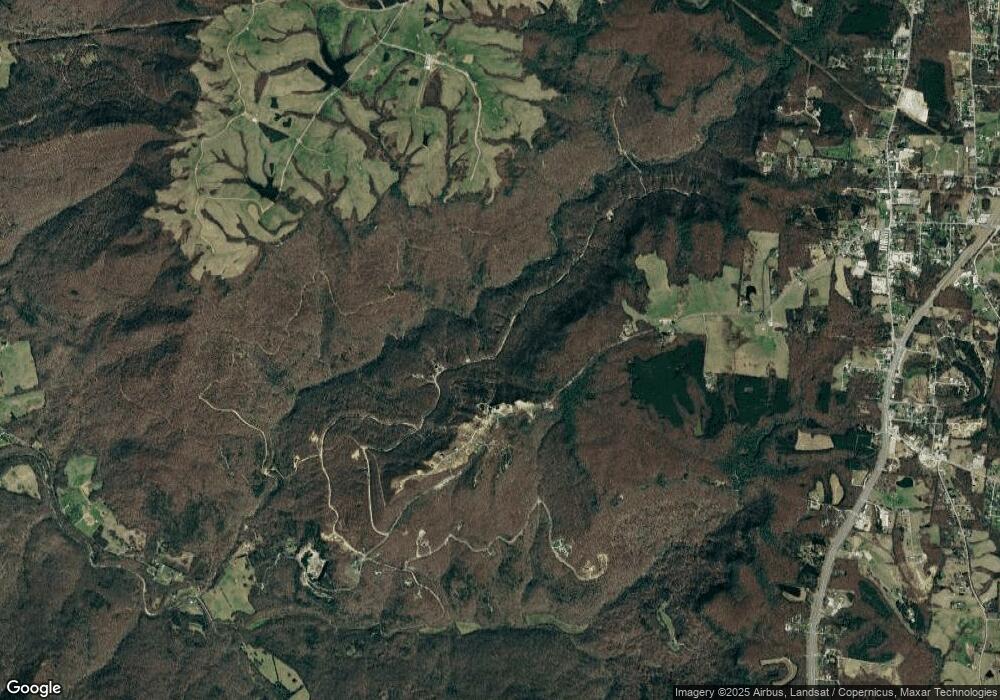

This home is located at 320 AC. Apache Rd, Jamestown, TN 38556 since 28 February 2022. 320 AC. Apache Rd is a home located in Fentress County.
Last Agent to Sell the Property
Crye-Leike Realtors Brokerage Phone: 9315206450 License #312735 Listed on: 02/28/2022
Last Buyer's Agent
EC Moore
Crye-Leike Realtors
| Date | Event | Price | List to Sale | Price per Sq Ft |
|---|---|---|---|---|
| 02/28/2022 02/28/22 | Sold | $550,110 | 0.0% | -- |
| 01/01/1970 01/01/70 | Off Market | $550,110 | -- | -- |
Seller's Agent in 2022
EC Moore
Crye-Leike Realtors
(931) 783-3559
247 Total Sales
Buyer Co-Listing Agent in 2022
Kendra Scribner
Highlands Elite Real Estate LLC
(469) 831-4204
11 Total Sales
Source: Upper Cumberland Association of REALTORS®
MLS Number: 209178
Disclaimer: Certain information contained herein is derived from information provided by parties other than Homes.com. All information provided is deemed reliable, but is not guaranteed to be accurate and should be independently verified.
![]() Copyright 2026 Upper Cumberland Board of Realtors. All rights reserved. Information deemed to be reliable but not guaranteed. The data relating to real estate for sale on this website comes from Upper Cumberland Board of Realtors.
Copyright 2026 Upper Cumberland Board of Realtors. All rights reserved. Information deemed to be reliable but not guaranteed. The data relating to real estate for sale on this website comes from Upper Cumberland Board of Realtors.
Some or all of the listings displayed may not belong to the firm whose website is being visited.
Ask me questions while you tour the home.