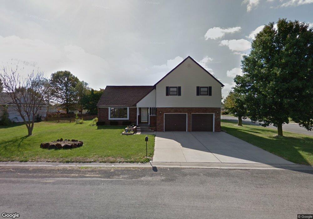
320 Adam Ct Mascoutah, IL 62258
Estimated Value: $267,000 - $340,000
Studio
--
Bath
1,279
Sq Ft
$230/Sq Ft
Est. Value
About This Home
This home is located at 320 Adam Ct, Mascoutah, IL 62258 and is currently estimated at $294,630, approximately $230 per square foot. 320 Adam Ct is a home located in St. Clair County with nearby schools including Mascoutah High School and Holy Childhood of Jesus School.
Ownership History
Date
Name
Owned For
Owner Type
Purchase Details
Closed on
Mar 11, 2024
Sold by
Kielbasa Kim H
Bought by
Kielbasa Patrick J and Kielbasa Kim H
Current Estimated Value
Purchase Details
Closed on
Jun 18, 2015
Sold by
Jessup Kim Hea
Bought by
Kielbasa Kim Hea
Purchase Details
Closed on
Jul 21, 2011
Sold by
Jessup Kim Hea and Jessup Tong P
Bought by
Jessup Kim H
Purchase Details
Closed on
Feb 14, 2011
Sold by
Jessup Tong P and Jessup Kim Hea
Bought by
Jessup Kim Hea
Purchase Details
Closed on
Feb 22, 2006
Sold by
Jessup Alfred D
Bought by
Jessup Tong P
Create a Home Valuation Report for This Property
The Home Valuation Report is an in-depth analysis detailing your home's value as well as a comparison with similar homes in the area
Purchase History
| Date | Buyer | Sale Price | Title Company |
|---|---|---|---|
| Kielbasa Patrick J | -- | None Available | |
| Kielbasa Kim Hea | -- | None Available | |
| Jessup Kim H | -- | None Available | |
| Jessup Kim Hea | -- | None Available | |
| Jessup Tong P | -- | None Available |
Source: Public Records
Tax History
| Year | Tax Paid | Tax Assessment Tax Assessment Total Assessment is a certain percentage of the fair market value that is determined by local assessors to be the total taxable value of land and additions on the property. | Land | Improvement |
|---|---|---|---|---|
| 2024 | $6,086 | $94,781 | $15,525 | $79,256 |
| 2023 | $5,871 | $86,621 | $14,188 | $72,433 |
| 2022 | $5,741 | $78,832 | $12,912 | $65,920 |
| 2021 | $4,443 | $62,616 | $12,507 | $50,109 |
| 2020 | $4,223 | $58,733 | $11,731 | $47,002 |
| 2019 | $4,105 | $58,733 | $11,731 | $47,002 |
| 2018 | $3,997 | $57,156 | $11,416 | $45,740 |
| 2017 | $4,412 | $59,502 | $10,026 | $49,476 |
| 2016 | $4,353 | $58,646 | $9,882 | $48,764 |
| 2014 | $4,239 | $57,305 | $9,656 | $47,649 |
| 2013 | -- | $56,280 | $9,518 | $46,762 |
Source: Public Records
Map
Nearby Homes
- 1145 Gulfstream Way
- 1120 Lear Ln
- 1204 Gulfstream Way
- 9719 Iroquois Dr
- 1151 Illiniwek Dr
- 1144 Menominee Trail
- 1113 Menominee Trail
- 908 Indian Prairie Dr
- 9723 Weatherby St
- 7 Hunters Trail
- 9640 Mallard Dr
- 1192 Widgeon Dr
- 924 Dere Bere Dr
- 755 Moorland Cir
- 652 Moorland Cir
- 713 Beebe Dr
- 847 Topaz Ct
- 9604 Winchester St
- 633 Fallen Timber Ln
- 91 W Harnett St
- 286 Adam Ct
- 2072 Nathan Ave
- 285 Kristina Ct
- 2087 Nathan Ave
- 2163 Nathan Ave
- 2075 Nathan Ave
- 264 Adam Ct
- 287 Adam Ct
- 263 Kristina Ct
- 2175 Nathan Ave
- 2063 Nathan Ave
- 265 Adam Ct
- 1184 Windshire Dr
- 1986 Nathan Ave
- 2186 Nathan Ave
- 1180 Windshire Dr
- 242 Adam Ct
- 9910 Fuesser Rd
- 284 Kristina Ct
- 241 Kristina Ct
Your Personal Tour Guide
Ask me questions while you tour the home.