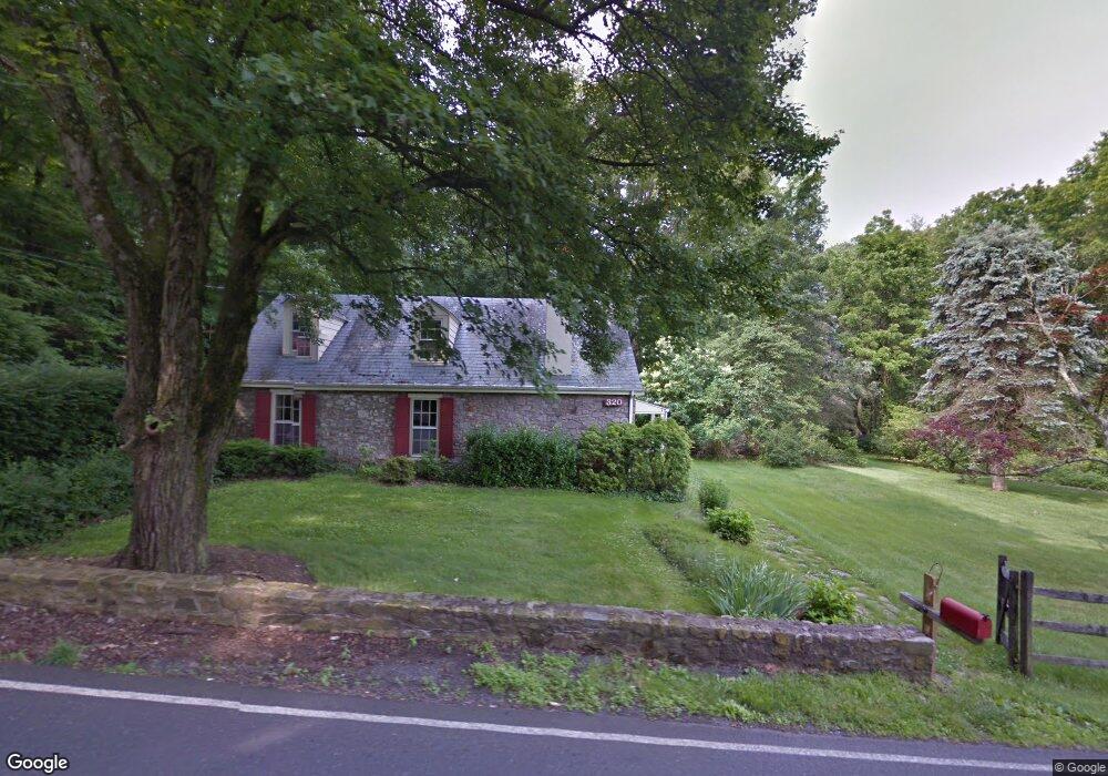
320 Almshouse Rd Doylestown, PA 18901
Estimated Value: $615,894 - $722,000
3
Beds
2
Baths
2,691
Sq Ft
$255/Sq Ft
Est. Value
About This Home
This home is located at 320 Almshouse Rd, Doylestown, PA 18901 and is currently estimated at $684,974, approximately $254 per square foot. 320 Almshouse Rd is a home located in Bucks County with nearby schools including Mill Creek Elementary School, Unami Middle School, and Central Bucks High School - South.
Ownership History
Date
Name
Owned For
Owner Type
Purchase Details
Closed on
Jul 15, 1992
Sold by
Roeder Kathleen M
Bought by
Scott Dane C and Scott Jerilyn G
Current Estimated Value
Purchase Details
Closed on
Oct 24, 1979
Bought by
Roeder Kathleen M
Create a Home Valuation Report for This Property
The Home Valuation Report is an in-depth analysis detailing your home's value as well as a comparison with similar homes in the area
Home Values in the Area
Average Home Value in this Area
Purchase History
| Date | Buyer | Sale Price | Title Company |
|---|---|---|---|
| Scott Dane C | $224,000 | -- | |
| Roeder Kathleen M | $115,000 | -- |
Source: Public Records
Tax History Compared to Growth
Tax History
| Year | Tax Paid | Tax Assessment Tax Assessment Total Assessment is a certain percentage of the fair market value that is determined by local assessors to be the total taxable value of land and additions on the property. | Land | Improvement |
|---|---|---|---|---|
| 2025 | $5,238 | $29,600 | $5,880 | $23,720 |
| 2024 | $5,238 | $29,600 | $5,880 | $23,720 |
| 2023 | $4,995 | $29,600 | $5,880 | $23,720 |
| 2022 | $4,939 | $29,600 | $5,880 | $23,720 |
| 2021 | $4,837 | $29,600 | $5,880 | $23,720 |
| 2020 | $4,815 | $29,600 | $5,880 | $23,720 |
| 2019 | $4,763 | $29,600 | $5,880 | $23,720 |
| 2018 | $4,749 | $29,600 | $5,880 | $23,720 |
| 2017 | $4,712 | $29,600 | $5,880 | $23,720 |
| 2016 | $4,682 | $29,600 | $5,880 | $23,720 |
| 2015 | -- | $29,600 | $5,880 | $23,720 |
| 2014 | -- | $29,600 | $5,880 | $23,720 |
Source: Public Records
Map
Nearby Homes
- 179 Almshouse Rd
- 2 W Butler Ave
- 60 Cedar Dr
- 158 W Butler Ave
- 13 Cedar Crest Ct
- 8 Elizabeth Ln
- 84 Iron Hill Rd
- 1 Elizabeth Ln
- 200 N Shady Retreat Rd
- 218 Keeley Ave
- 1101 Deerfield Ln
- 250 Wooded Dr
- 3633 Meadow Ln
- 218 Vaux Dr
- 197 Spring Ln
- 34 Warren Dr Unit 16
- 32 Warren Dr Unit 15
- 30 Warren Dr Unit 14
- 47 Mill Creek Dr Unit 32
- 47 Mill Creek Dr
- 325 Almshouse Rd
- 195 S Shady Retreat Rd
- 311 Almshouse Rd
- 189 S Shady Retreat Rd
- 198 S Shady Retreat Rd
- 339 Almshouse Rd
- 193 S Shady Retreat Rd
- 190 S Shady Retreat Rd
- 335 Almshouse Rd
- 263 Almshouse Rd
- 1750 Upper State Rd
- 185 S Shady Retreat Rd
- 182 S Shady Retreat Rd
- 178 S Shady Retreat Rd
- 196 Beulah Rd
- 191 Beulah Rd
- 174 S Shady Retreat Rd
- 169 S Shady Retreat Rd
- 102 Teal Dr
- 100 Teal Dr