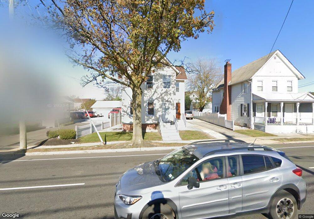
320 Atlantic Ave Oceanside, NY 11572
Estimated Value: $766,000 - $810,773
Studio
3
Baths
2,564
Sq Ft
$307/Sq Ft
Est. Value
About This Home
This home is located at 320 Atlantic Ave, Oceanside, NY 11572 and is currently estimated at $788,387, approximately $307 per square foot. 320 Atlantic Ave is a home located in Nassau County with nearby schools including Florence A. Smith Elementary - School 2, Oceanside Middle School, and Oceanside High School.
Ownership History
Date
Name
Owned For
Owner Type
Purchase Details
Closed on
Oct 27, 2005
Sold by
Peralta Fredy
Bought by
Peralta Jose
Current Estimated Value
Purchase Details
Closed on
Feb 25, 2003
Sold by
Peralta Jose
Purchase Details
Closed on
Dec 8, 2000
Purchase Details
Closed on
Mar 4, 1998
Purchase Details
Closed on
Feb 26, 1996
Sold by
Combs Wesley
Bought by
Peralta Maria C and Rodriquez Maria
Create a Home Valuation Report for This Property
The Home Valuation Report is an in-depth analysis detailing your home's value as well as a comparison with similar homes in the area
Home Values in the Area
Average Home Value in this Area
Purchase History
| Date | Buyer | Sale Price | Title Company |
|---|---|---|---|
| Peralta Jose | $211,000 | -- | |
| -- | $232,000 | -- | |
| -- | -- | -- | |
| -- | -- | -- | |
| Peralta Maria C | $117,000 | -- |
Source: Public Records
Tax History
| Year | Tax Paid | Tax Assessment Tax Assessment Total Assessment is a certain percentage of the fair market value that is determined by local assessors to be the total taxable value of land and additions on the property. | Land | Improvement |
|---|---|---|---|---|
| 2025 | $15,630 | $566 | $201 | $365 |
| 2024 | $4,579 | $566 | $201 | $365 |
Source: Public Records
Map
Nearby Homes
- 2971 Waverly Ave
- 495 Henry St
- 214 Marina Pointe Dr Unit 214
- 311 Marina Pointe Dr Unit H
- 322 Marina Pointe Dr
- 121 Marina Pointe Dr Unit 121
- 422 Marina Pointe Dr Unit 422
- 622 Marina Pointe Dr Unit 622
- 404 Silver Ln
- 204 Bayside Ave
- 301 Merrifield Ave
- 16 Main St Unit 2-Q
- 469 River St
- 510 Albern Ave
- 14 James St N
- 3000 Stevens St Unit 47
- 12 Alexine Ave
- 126 Williamson St
- 1 2nd Ave
- 4 Rose St Unit 7,C-1
- 512 Atlantic Ave
- 326 Atlantic Ave
- 2920 Evergreen Ave
- 332 Atlantic Ave
- 2941 Rockaway Ave
- 2953 Evergreen Ave
- 2916 Evergreen Ave
- 315 Atlantic Ave
- 315 Atlantic Ave Unit 5
- 315 Atlantic Ave Unit 4
- 315 Atlantic Ave Unit 1
- 2943 Evergreen Ave
- 2929 Rockaway Ave
- 313 Atlantic Ave Unit 2B
- 313 Atlantic Ave Unit 2fl
- 2939 Evergreen Ave
- 2935 Evergreen Ave
- 2923 Rockaway Ave
- 494 Atlantic Ave
- 494 Atlantic Ave Unit Upper
Your Personal Tour Guide
Ask me questions while you tour the home.