320 Buckskin Ct Trumbull, CT 06611
Daniel Farm District NeighborhoodEstimated Value: $633,000 - $714,000
3
Beds
3
Baths
2,042
Sq Ft
$325/Sq Ft
Est. Value
About This Home
This home is located at 320 Buckskin Ct, Trumbull, CT 06611 and is currently estimated at $663,775, approximately $325 per square foot. 320 Buckskin Ct is a home located in Fairfield County with nearby schools including Daniels Farm School, Hillcrest Middle School, and Trumbull High School.
Ownership History
Date
Name
Owned For
Owner Type
Purchase Details
Closed on
Jun 9, 2008
Sold by
Rondano Robert P
Bought by
Subramanian K and Subramanian Shantha
Current Estimated Value
Home Financials for this Owner
Home Financials are based on the most recent Mortgage that was taken out on this home.
Original Mortgage
$325,000
Interest Rate
6.11%
Purchase Details
Closed on
Apr 2, 2004
Sold by
320 Buckskin Ct Llc
Bought by
Rondano Robert P
Purchase Details
Closed on
Oct 10, 2002
Sold by
Bridle Trails Ests Llc
Bought by
Stanise John M
Home Financials for this Owner
Home Financials are based on the most recent Mortgage that was taken out on this home.
Original Mortgage
$300,700
Interest Rate
5.5%
Create a Home Valuation Report for This Property
The Home Valuation Report is an in-depth analysis detailing your home's value as well as a comparison with similar homes in the area
Home Values in the Area
Average Home Value in this Area
Purchase History
We collect this data history from publicly available records. To have your information removed, we recommend requesting removal directly through your county’s website.
| Date | Buyer | Sale Price | Title Company |
|---|---|---|---|
| Subramanian K | $452,000 | -- | |
| Rondano Robert P | $416,000 | -- | |
| Stanise John M | $369,900 | -- |
Source: Public Records
Mortgage History
We collect this data history from publicly available records. To have your information removed, we recommend requesting removal directly through your county’s website.
| Date | Status | Borrower | Loan Amount |
|---|---|---|---|
| Open | Stanise John M | $240,000 | |
| Closed | Stanise John M | $300,000 | |
| Closed | Stanise John M | $325,000 | |
| Previous Owner | Stanise John M | $300,700 |
Source: Public Records
Tax History
| Year | Tax Paid | Tax Assessment Tax Assessment Total Assessment is a certain percentage of the fair market value that is determined by local assessors to be the total taxable value of land and additions on the property. | Land | Improvement |
|---|---|---|---|---|
| 2025 | $11,462 | $310,450 | $0 | $310,450 |
| 2024 | $11,148 | $310,450 | $0 | $310,450 |
| 2023 | $10,968 | $310,450 | $0 | $310,450 |
| 2022 | $10,793 | $310,450 | $0 | $310,450 |
| 2021 | $9,835 | $274,330 | $0 | $274,330 |
| 2020 | $9,835 | $274,330 | $0 | $274,330 |
| 2018 | $9,592 | $274,330 | $0 | $274,330 |
| 2017 | $9,399 | $274,330 | $0 | $274,330 |
| 2016 | $9,209 | $274,330 | $0 | $274,330 |
| 2015 | $9,339 | $275,000 | $0 | $275,000 |
| 2014 | $9,006 | $271,000 | $0 | $271,000 |
Source: Public Records
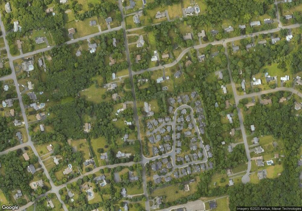
Map
Nearby Homes
- 8 Scenic Hill Rd
- 890 Daniels Farm Rd
- 15 Squire Ct
- 184 Putting Green Rd
- 1057 Daniels Farm Rd
- 15 Glenarden Rd
- 36 Greenbrier Rd
- 10 Doe Hollow Dr
- 49 Midland Rd
- 121 Lewis Rd
- 32 MacMath Dr
- 1209 Daniels Farm Rd
- 57 Gray Rock Rd
- 606 Booth Hill Rd
- 286 Daniels Farm Rd
- 7 Mcguire Rd
- 244 Strobel Rd
- 17 Moose Hill Rd
- 22 Elizabeth St
- 0 Main St
- 328 Buckskin Ct
- 312 Buckskin Ct
- 7 Bridle Trail
- 7 Bridle Trail Unit 7
- 15 Bridle Trail
- 327 Buckskin Ct
- 319 Buckskin Ct
- 311 Buckskin Ct
- 305 Buckskin Ct
- 169 Palomino Pass
- 114 Palomino Pass
- 114 Palomino Pass Unit 114
- 110 Palomino Pass
- 164 Palomino Pass
- 160 Palomino Pass
- 137 Palomino Pass
- 117 Palomino Pass
- 113 Palomino Pass
- 137 Palomino Pass Unit 137
- 113 Palomino Pass Unit 113
Your Personal Tour Guide
Ask me questions while you tour the home.