Estimated Value: $471,000 - $773,000
6
Beds
4
Baths
3,057
Sq Ft
$190/Sq Ft
Est. Value
About This Home
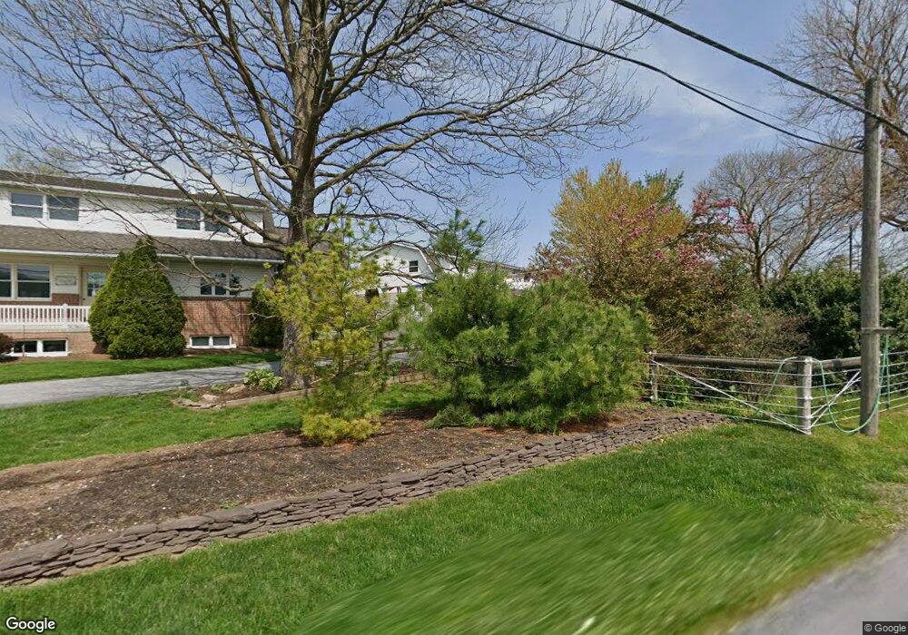
This home is located at 320 Cains Rd, Gap, PA 17527 and is currently estimated at $580,996, approximately $190 per square foot. 320 Cains Rd is a home located in Lancaster County with nearby schools including Pequea Valley Intermediate School, Pequea Valley High School, and Edgewood School.
Ownership History
Date
Name
Owned For
Owner Type
Purchase Details
Closed on
Oct 9, 2025
Sold by
King David B and King Lena
Bought by
King David B and King Lydiann
Current Estimated Value
Home Financials for this Owner
Home Financials are based on the most recent Mortgage that was taken out on this home.
Original Mortgage
$266,000
Outstanding Balance
$266,000
Interest Rate
6.56%
Mortgage Type
Seller Take Back
Estimated Equity
$314,996
Purchase Details
Closed on
Aug 13, 2009
Sold by
King David B
Bought by
King David B
Create a Home Valuation Report for This Property
The Home Valuation Report is an in-depth analysis detailing your home's value as well as a comparison with similar homes in the area
Home Values in the Area
Average Home Value in this Area
Purchase History
| Date | Buyer | Sale Price | Title Company |
|---|---|---|---|
| King David B | $466,000 | None Listed On Document | |
| King David B | -- | None Available |
Source: Public Records
Mortgage History
| Date | Status | Borrower | Loan Amount |
|---|---|---|---|
| Open | King David B | $266,000 |
Source: Public Records
Tax History
| Year | Tax Paid | Tax Assessment Tax Assessment Total Assessment is a certain percentage of the fair market value that is determined by local assessors to be the total taxable value of land and additions on the property. | Land | Improvement |
|---|---|---|---|---|
| 2025 | $6,495 | $289,500 | $86,200 | $203,300 |
| 2024 | $6,495 | $338,100 | $86,200 | $251,900 |
| 2023 | $6,286 | $338,100 | $86,200 | $251,900 |
| 2022 | $6,155 | $338,100 | $86,200 | $251,900 |
| 2021 | $6,030 | $338,100 | $86,200 | $251,900 |
| 2020 | $6,030 | $338,100 | $86,200 | $251,900 |
| 2019 | $5,948 | $338,100 | $86,200 | $251,900 |
| 2018 | $7,277 | $338,100 | $86,200 | $251,900 |
| 2017 | $5,970 | $270,900 | $52,800 | $218,100 |
| 2016 | $5,970 | $270,900 | $52,800 | $218,100 |
| 2015 | $864 | $270,900 | $52,800 | $218,100 |
| 2014 | $3,848 | $270,900 | $52,800 | $218,100 |
Source: Public Records
Map
Nearby Homes
- 158 Leary Rd
- 128 Engletown Rd
- 294 Cambridge Rd
- 317 Compass Rd
- 760 Azalea Ln
- 5582 Old Philadelphia Pike
- 101 Lentz Way
- 115 Spring Hill Ln
- 14 Blue Spruce Dr
- 253 Meetinghouse Rd
- 5859 Lincoln Hwy
- 513 Jacobs Rd
- 212 High Point Ln
- 751 Willow Ln
- 815 Circle Dr
- 581 Rosehill Dr
- 110 Wendy Cir
- 5325 Lincoln Hwy
- 683 Cloverfield Dr
- 781 Newport Ave
- 280 Cains Rd
- 274 Cains Rd
- 6062 Old Philadelphia Pike
- 357 Cains Rd
- 6086 Old Philadelphia Pike
- 6054 Old Philadelphia Pike
- 6098 Old Philadelphia Pike
- 6089 Old Philadelphia Pike
- 6069 Old Philadelphia Pike
- 6104 Old Philadelphia Pike
- 6110 Old Philadelphia Pike
- 6091 Old Philadelphia Pike
- 6065 Old Philadelphia Pike
- 6083 Old Philadelphia Pike
- 6095 Old Philadelphia Pike
- 6091 Old Philadelphia Pike
- 6039 Old Philadelphia Pike
- 6051 Old Philadelphia Pike
- 6132 Old Philadelphia Pike
- 109 Churchtown Rd
Your Personal Tour Guide
Ask me questions while you tour the home.