320 Countryside Dr Brodheadsville, PA 18322
Brodheadsville NeighborhoodEstimated Value: $285,736 - $340,000
3
Beds
1
Bath
1,270
Sq Ft
$250/Sq Ft
Est. Value
About This Home
This home is located at 320 Countryside Dr, Brodheadsville, PA 18322 and is currently estimated at $316,934, approximately $249 per square foot. 320 Countryside Dr is a home with nearby schools including Pleasant Valley Elementary School, Pleasant Valley Intermediate School, and Pleasant Valley Middle School.
Ownership History
Date
Name
Owned For
Owner Type
Purchase Details
Closed on
Feb 17, 2011
Sold by
Marino Jeanette
Bought by
Strohl Tammy
Current Estimated Value
Home Financials for this Owner
Home Financials are based on the most recent Mortgage that was taken out on this home.
Original Mortgage
$165,690
Outstanding Balance
$113,861
Interest Rate
4.87%
Mortgage Type
FHA
Estimated Equity
$203,073
Create a Home Valuation Report for This Property
The Home Valuation Report is an in-depth analysis detailing your home's value as well as a comparison with similar homes in the area
Home Values in the Area
Average Home Value in this Area
Purchase History
| Date | Buyer | Sale Price | Title Company |
|---|---|---|---|
| Strohl Tammy | -- | None Available |
Source: Public Records
Mortgage History
| Date | Status | Borrower | Loan Amount |
|---|---|---|---|
| Open | Strohl Tammy | $165,690 |
Source: Public Records
Tax History Compared to Growth
Tax History
| Year | Tax Paid | Tax Assessment Tax Assessment Total Assessment is a certain percentage of the fair market value that is determined by local assessors to be the total taxable value of land and additions on the property. | Land | Improvement |
|---|---|---|---|---|
| 2025 | $1,132 | $141,990 | $42,250 | $99,740 |
| 2024 | $942 | $141,990 | $42,250 | $99,740 |
| 2023 | $4,300 | $141,990 | $42,250 | $99,740 |
| 2022 | $4,183 | $141,990 | $42,250 | $99,740 |
| 2021 | $3,987 | $141,990 | $42,250 | $99,740 |
| 2020 | $4,110 | $141,990 | $42,250 | $99,740 |
| 2019 | $4,430 | $24,850 | $3,500 | $21,350 |
| 2018 | $4,380 | $24,850 | $3,500 | $21,350 |
| 2017 | $4,329 | $24,850 | $3,500 | $21,350 |
| 2016 | $688 | $24,850 | $3,500 | $21,350 |
| 2015 | -- | $24,850 | $3,500 | $21,350 |
| 2014 | -- | $24,850 | $3,500 | $21,350 |
Source: Public Records
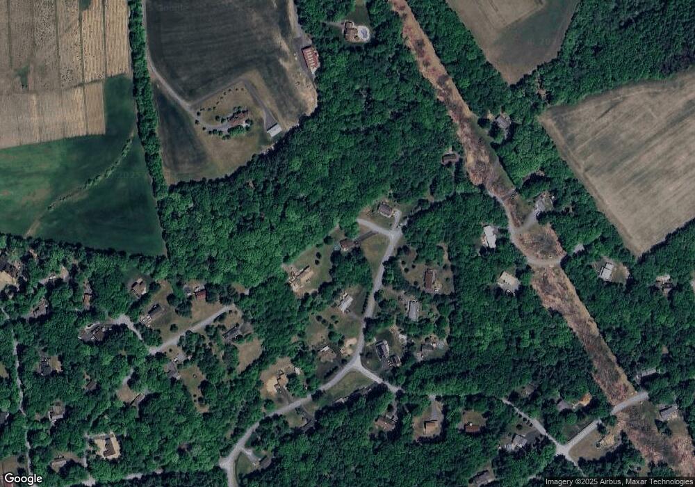
Map
Nearby Homes
- 311 Switzgable Dr
- 648 Marion Ln
- 44 Regency Ln
- 558 Effort Neola Rd
- 2382 Pennsylvania 115
- 423 Cottontail Ln
- 1762 United States Route 209
- 300 Silver Valley Rd
- 232 Rodenbach Ln
- 2718 Oak Ln
- 2172 White Pine Dr
- 219 W Scott Ct
- 0 Tiger Lily Ln
- 103 Silver Valley Rd
- 223 Brink Rd
- 150 Longwoods Dr
- 205 Winding Way
- 1547 Weir Creek Dr
- 254 Blackthorn Dr
- 132 Winding Way
- 260 Switzgable Dr
- 304 Countryside Dr
- 333 Switzgabel Dr
- 1386 Hc 1
- 320 Pohopoco Dr
- 236 Pohopoco Dr
- 310 Pohopoco Dr
- 37 Countryside Dr
- 374 Switzgabel Dr
- 294 Countryside Dr
- 295 Countryside Dr
- 307 Pohopoco Dr
- 271 Switzgable Dr
- 378 Switzgabel Dr
- 120 Dehavens Ln
- 230 Countryside Dr
- 47 Pohopoco Dr
- 42 Pohopoco Dr
- Lot 55 Pohopoco Dr
- 13 Pohopoco Dr