320 Cranbrook Rd Bloomfield Hills, MI 48304
Estimated Value: $2,986,596 - $3,539,000
4
Beds
6
Baths
6,272
Sq Ft
$517/Sq Ft
Est. Value
About This Home
This home is located at 320 Cranbrook Rd, Bloomfield Hills, MI 48304 and is currently estimated at $3,244,865, approximately $517 per square foot. 320 Cranbrook Rd is a home located in Oakland County with nearby schools including Quarton Elementary, Derby Middle School, and Ernest W. Seaholm High School.
Ownership History
Date
Name
Owned For
Owner Type
Purchase Details
Closed on
Oct 6, 2016
Sold by
Aikens Ann S and Aikens Robert B
Bought by
Aikens Ann S and Ann S Aikens Trust
Current Estimated Value
Purchase Details
Closed on
Oct 23, 2001
Sold by
Ann S Aiken Tr
Bought by
Aikens Robert B
Purchase Details
Closed on
Dec 15, 1995
Sold by
Robert B Aikens Assoc In
Bought by
Ann S Aikens Tr
Create a Home Valuation Report for This Property
The Home Valuation Report is an in-depth analysis detailing your home's value as well as a comparison with similar homes in the area
Home Values in the Area
Average Home Value in this Area
Purchase History
| Date | Buyer | Sale Price | Title Company |
|---|---|---|---|
| Aikens Ann S | -- | None Available | |
| Aikens Robert B | -- | -- | |
| Ann S Aikens Tr | -- | -- |
Source: Public Records
Tax History Compared to Growth
Tax History
| Year | Tax Paid | Tax Assessment Tax Assessment Total Assessment is a certain percentage of the fair market value that is determined by local assessors to be the total taxable value of land and additions on the property. | Land | Improvement |
|---|---|---|---|---|
| 2024 | $25,823 | $1,327,920 | $0 | $0 |
| 2023 | $24,717 | $1,224,580 | $0 | $0 |
| 2022 | $26,692 | $1,211,490 | $0 | $0 |
| 2021 | $26,134 | $1,198,550 | $0 | $0 |
| 2020 | $23,317 | $1,160,090 | $0 | $0 |
| 2019 | $25,923 | $1,153,910 | $0 | $0 |
| 2018 | $25,663 | $1,036,930 | $0 | $0 |
| 2017 | $25,582 | $962,450 | $0 | $0 |
| 2016 | $25,602 | $895,050 | $0 | $0 |
| 2015 | -- | $834,280 | $0 | $0 |
| 2014 | -- | $742,410 | $0 | $0 |
| 2011 | -- | $669,840 | $0 | $0 |
Source: Public Records
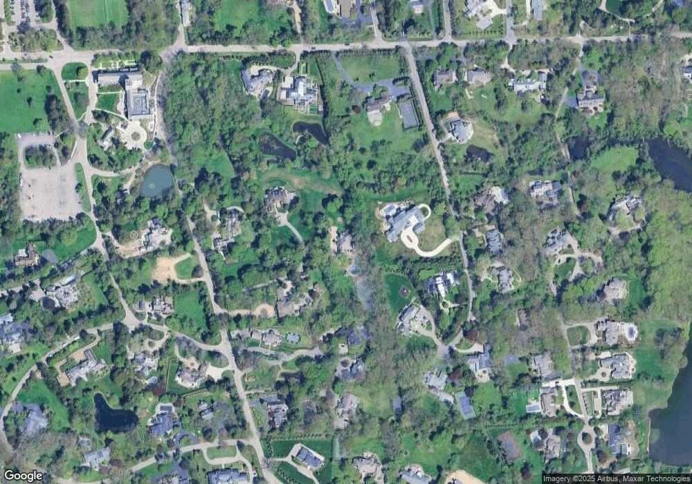
Map
Nearby Homes
- 270 Martell Dr
- 1573 Chesterfield Ave
- 60 Kingsley Manor Dr
- 33 Boulder Ln Unit 2
- 130 Endicott Rd
- 1378 Lyonhurst St
- 170 Kirkwood Ct
- 1595 Ashford Ln Unit 5
- 1537 Ashford Ln
- 1120 Lyonhurst St
- 596 Rudgate Rd
- 249 Warrington Rd
- 1012 Stratford Ln Unit 64
- 956 Westwood Dr
- 1054 Stratford Ln
- 803 Canterbury Crescent
- 1111 Trowbridge Rd
- 1551 Lakeside Dr
- 5250 Longmeadow Rd
- 4890 Charing Cross Rd
- 320 Cranbrook Rd
- 310 Cranbrook Rd
- 310 Cranbrook Rd
- 391 Cranbrook Ct
- 391 Cranbrook Ct
- 360 Cranbrook Rd
- 311 Cranbrook Ct
- 290 Cranbrook Rd
- 394 Cranbrook Rd
- 335 Cranbrook Ct
- 271 Lone Pine Rd
- 280 Cranbrook Rd
- 285 Lone Pine Rd
- 300 Cranbrook Rd Unit Bldg-Unit
- 300 Cranbrook Rd
- 300 Cranbrook Rd
- 418 Cranbrook Ct
- 382 Cranbrook Ct
- 458 Cranbrook Ct
- 287 Lone Pine Rd