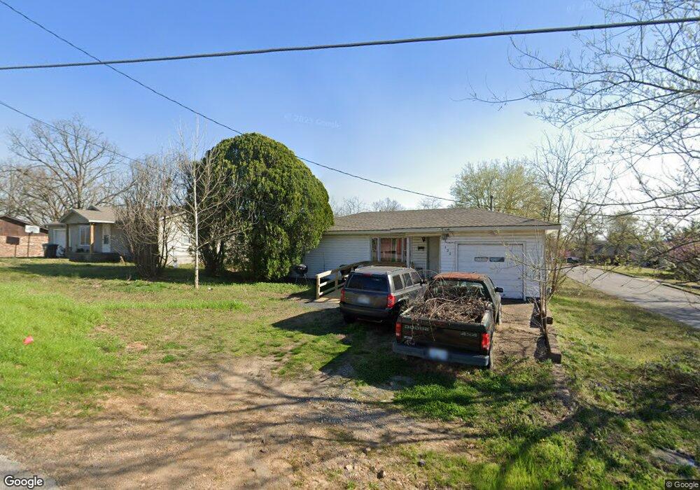
320 E South St Tahlequah, OK 74464
Estimated Value: $98,443 - $161,000
2
Beds
1
Bath
864
Sq Ft
$150/Sq Ft
Est. Value
About This Home
This home is located at 320 E South St, Tahlequah, OK 74464 and is currently estimated at $129,861, approximately $150 per square foot. 320 E South St is a home located in Cherokee County with nearby schools including Greenwood Elementary School, Cherokee Elementary School, and Tahlequah Middle School.
Ownership History
Date
Name
Owned For
Owner Type
Purchase Details
Closed on
Jun 1, 2011
Sold by
Dick David and Dick Renita M
Bought by
D&R Tahlequah Llc
Current Estimated Value
Purchase Details
Closed on
Aug 20, 2002
Sold by
Joe and Jon Morris
Bought by
David and Renita Dick
Purchase Details
Closed on
Dec 18, 2000
Sold by
Joe and Norma Morris
Bought by
Joe and Jon Morris
Purchase Details
Closed on
Oct 2, 1995
Sold by
Donald and Patsy Phillips
Bought by
Joe and Brenda Morris
Create a Home Valuation Report for This Property
The Home Valuation Report is an in-depth analysis detailing your home's value as well as a comparison with similar homes in the area
Home Values in the Area
Average Home Value in this Area
Purchase History
| Date | Buyer | Sale Price | Title Company |
|---|---|---|---|
| D&R Tahlequah Llc | -- | None Available | |
| David | $45,000 | -- | |
| Joe | -- | -- | |
| Joe | $36,000 | -- |
Source: Public Records
Tax History Compared to Growth
Tax History
| Year | Tax Paid | Tax Assessment Tax Assessment Total Assessment is a certain percentage of the fair market value that is determined by local assessors to be the total taxable value of land and additions on the property. | Land | Improvement |
|---|---|---|---|---|
| 2025 | $490 | $4,993 | $1,098 | $3,895 |
| 2024 | $490 | $5,167 | $1,098 | $4,069 |
| 2023 | $490 | $6,144 | $1,091 | $5,053 |
| 2022 | $570 | $6,144 | $1,091 | $5,053 |
| 2021 | $568 | $6,098 | $1,083 | $5,015 |
| 2020 | $551 | $5,808 | $1,031 | $4,777 |
| 2019 | $520 | $5,531 | $982 | $4,549 |
| 2018 | $501 | $5,268 | $1,049 | $4,219 |
| 2017 | $476 | $5,017 | $999 | $4,018 |
| 2016 | $456 | $4,778 | $905 | $3,873 |
| 2015 | $427 | $4,551 | $993 | $3,558 |
| 2014 | $408 | $4,334 | $1,101 | $3,233 |
Source: Public Records
Map
Nearby Homes
- 201 Sandy Cir
- 306 Short St
- 757 S Bluff Ave
- 528 S Muskogee Ave
- 413 Greenwood Dr
- 403 S Bluff Ave
- 802 S College Ave
- 508 Covington Place
- 821 S College Ave
- 510 S Cherokee Ave
- 215 S Maple Ave
- 224 W Chickasaw St
- 281 Redbud Ln
- 605 S Oak Ave
- 513 S State Ave
- 1105 S Maple Ave
- 720 S East Ave
- 516 W Fox St
- 104 Tommye Ln
- 321 W Shawnee St
- 309 E South St
- 322 E South St
- 703 Brentwood Dr
- 702 Brentwood Dr
- 601 S Bluff Ave
- 613 S Bluff Ave
- 324 E South St
- 311 E South St
- 317 E South St
- 705 Brentwood Dr
- 319 E South St
- 321 E South St
- 704 Brentwood Dr
- 707 Brentwood Dr
- 708 Brentwood Dr
- 706 Brentwood Dr
- 607 S Bluff Ave
- 203 Sandy Cir
- 417 S Bluff Ave