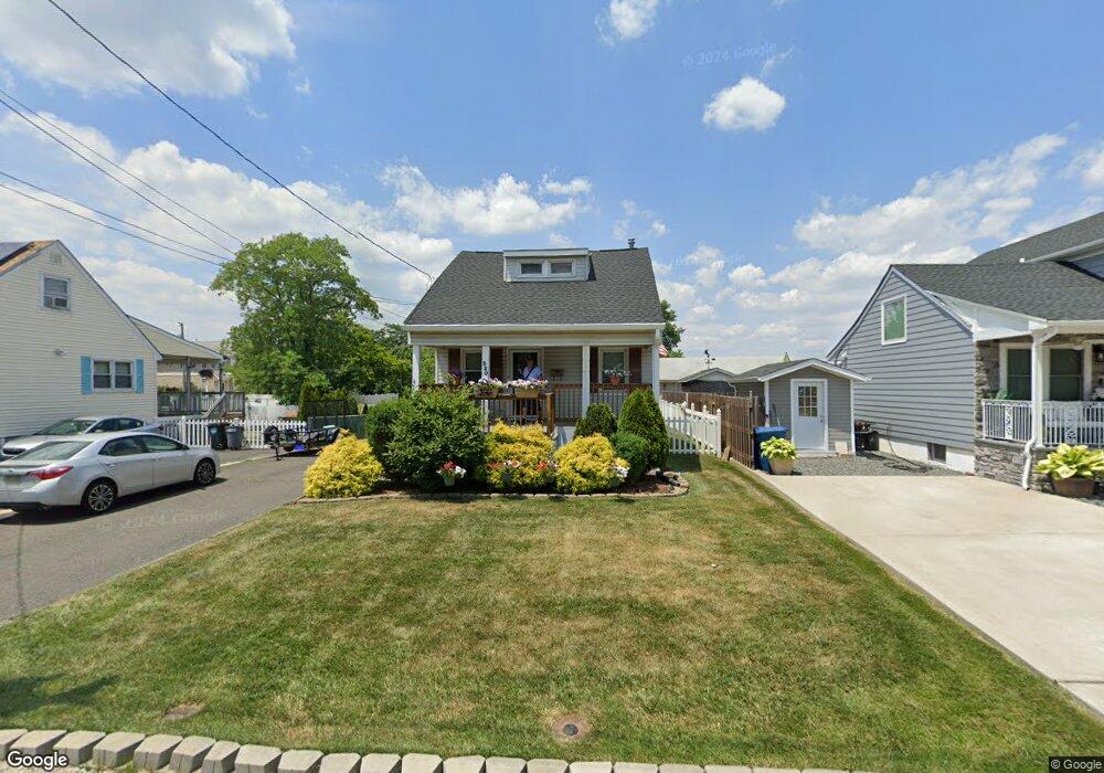
320 Furman Blvd Keyport, NJ 07735
Estimated Value: $415,244 - $1,014,000
2
Beds
1
Bath
8,000
Sq Ft
$73/Sq Ft
Est. Value
About This Home
This home is located at 320 Furman Blvd, Keyport, NJ 07735 and is currently estimated at $585,061, approximately $73 per square foot. 320 Furman Blvd is a home located in Middlesex County with nearby schools including Old Bridge High School, St. Joseph Elementary School, and Icob Academy.
Ownership History
Date
Name
Owned For
Owner Type
Purchase Details
Closed on
Oct 28, 2014
Sold by
Bockowski Scott and Bockowski Richard
Bought by
Lambert Donald and Lambert Margaret
Current Estimated Value
Home Financials for this Owner
Home Financials are based on the most recent Mortgage that was taken out on this home.
Original Mortgage
$202,915
Outstanding Balance
$159,623
Interest Rate
4.75%
Mortgage Type
FHA
Estimated Equity
$425,438
Purchase Details
Closed on
May 15, 2008
Sold by
Bockowski Scott and Bockowski Richard
Bought by
Bockowski Scott and Bockowski Richard
Create a Home Valuation Report for This Property
The Home Valuation Report is an in-depth analysis detailing your home's value as well as a comparison with similar homes in the area
Home Values in the Area
Average Home Value in this Area
Purchase History
| Date | Buyer | Sale Price | Title Company |
|---|---|---|---|
| Lambert Donald | $185,000 | All Ahead Title Agency Llc | |
| Bockowski Scott | -- | None Available |
Source: Public Records
Mortgage History
| Date | Status | Borrower | Loan Amount |
|---|---|---|---|
| Open | Lambert Donald | $202,915 |
Source: Public Records
Tax History Compared to Growth
Tax History
| Year | Tax Paid | Tax Assessment Tax Assessment Total Assessment is a certain percentage of the fair market value that is determined by local assessors to be the total taxable value of land and additions on the property. | Land | Improvement |
|---|---|---|---|---|
| 2025 | $5,878 | $102,600 | $42,000 | $60,600 |
| 2024 | $5,637 | $102,600 | $42,000 | $60,600 |
| 2023 | $5,637 | $102,600 | $42,000 | $60,600 |
| 2022 | $5,485 | $102,600 | $42,000 | $60,600 |
| 2021 | $5,383 | $102,600 | $42,000 | $60,600 |
| 2020 | $5,319 | $102,600 | $42,000 | $60,600 |
| 2019 | $5,234 | $102,600 | $42,000 | $60,600 |
| 2018 | $5,175 | $102,600 | $42,000 | $60,600 |
| 2017 | $5,014 | $102,600 | $42,000 | $60,600 |
| 2016 | $4,915 | $102,600 | $42,000 | $60,600 |
| 2015 | $4,800 | $102,000 | $42,000 | $60,000 |
| 2014 | $4,742 | $102,000 | $42,000 | $60,000 |
Source: Public Records
Map
Nearby Homes
- 42 Boulevard E
- 65 Boulevard E
- 363 Ocean Blvd
- 103 Furman Blvd
- 125 Raritan Blvd
- 136 Hilltop Blvd
- 106 Boulevard W
- 107 Boulevard W
- 108 W Concourse
- 38 Lcpl Phillip E Frank Way Unit 38
- 112 Lcpl Phillip E Frank Way
- 599 Keyport Ave
- 839 Brookside Ave
- 235 Garfield Ave
- 281 Prospect Ave
- 250 Brookside Ave
- 745 Cliffwood Ave
- 786 Cliffwood Ave
- 811 Shore Concourse
- 146 Orchard Ave
- 322 Furman Blvd
- 215 Furman Blvd
- 214 Furman Blvd
- 313 Furman Blvd
- 8 Seaglade Cir
- 8A Seaglade Cir
- 316 Furman Blvd
- 310 Furman Blvd
- 306 Furman Blvd
- 231 Lake Ave
- 211 Furman Blvd
- 7 Seaglade Cir
- 6 Lake Ave
- 238 Raritan Blvd
- 242 Raritan Blvd
- 303 Furman Blvd
- 302 Furman Blvd
- 235 Raritan Blvd
- 245 Raritan Blvd
- 10 Seaglade Cir