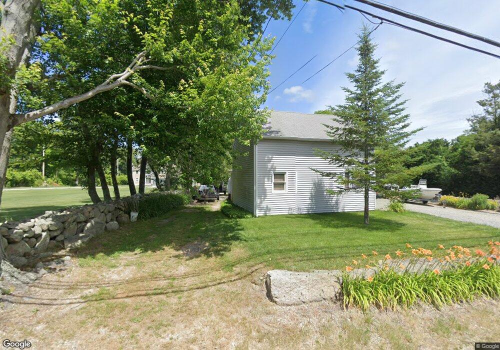
320 Gifford Rd Westport, MA 02790
North Westport NeighborhoodEstimated Value: $540,704 - $615,000
3
Beds
--
Bath
1,560
Sq Ft
$368/Sq Ft
Est. Value
About This Home
This home is located at 320 Gifford Rd, Westport, MA 02790 and is currently estimated at $574,235, approximately $368 per square foot. 320 Gifford Rd is a home located in Bristol County with nearby schools including Alice A. Macomber Primary School, Westport Elementary School, and Westport Middle-High School.
Create a Home Valuation Report for This Property
The Home Valuation Report is an in-depth analysis detailing your home's value as well as a comparison with similar homes in the area
Home Values in the Area
Average Home Value in this Area
Tax History Compared to Growth
Tax History
| Year | Tax Paid | Tax Assessment Tax Assessment Total Assessment is a certain percentage of the fair market value that is determined by local assessors to be the total taxable value of land and additions on the property. | Land | Improvement |
|---|---|---|---|---|
| 2025 | $3,776 | $506,900 | $170,800 | $336,100 |
| 2024 | $3,736 | $483,300 | $151,700 | $331,600 |
| 2023 | $3,469 | $425,100 | $138,200 | $286,900 |
| 2022 | $3,437 | $405,300 | $138,200 | $267,100 |
| 2021 | $3,287 | $381,300 | $114,200 | $267,100 |
| 2020 | $3,176 | $376,700 | $109,600 | $267,100 |
| 2019 | $2,958 | $357,700 | $109,600 | $248,100 |
| 2018 | $3,005 | $367,800 | $110,600 | $257,200 |
| 2017 | $2,787 | $349,700 | $107,100 | $242,600 |
| 2016 | $2,604 | $329,200 | $103,500 | $225,700 |
| 2015 | $2,665 | $336,100 | $105,900 | $230,200 |
Source: Public Records
Map
Nearby Homes
- 328 Gifford Rd
- 332 Gifford Rd
- 323 Gifford Rd
- 327 Gifford Rd
- 296 Gifford Rd
- 287-289 & 309 Gifford Rd
- 331 Gifford Rd
- 309 Gifford Rd
- 336 Gifford Rd
- 294 Gifford Rd
- 342 Gifford Rd
- 335 Gifford Rd
- 318 Gifford Rd
- 333 Gifford Rd
- 292 Gifford Rd
- 345 Gifford Rd
- 346 Gifford Rd
- 308 Gifford Rd
- 303 Gifford Rd
- 338 Gifford Rd