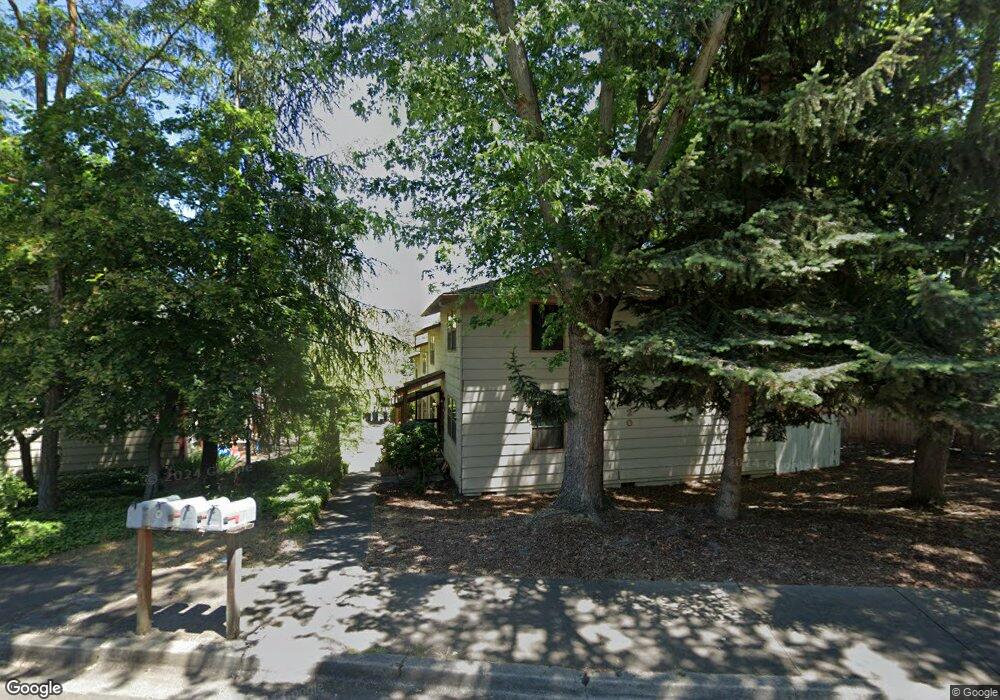
320 High St Ashland, OR 97520
Cottage District NeighborhoodEstimated Value: $307,000 - $1,128,950
2
Beds
2
Baths
1,080
Sq Ft
$549/Sq Ft
Est. Value
About This Home
This home is located at 320 High St, Ashland, OR 97520 and is currently estimated at $592,738, approximately $548 per square foot. 320 High St is a home located in Jackson County with nearby schools including Helman Elementary School, Ashland Middle School, and Ashland High School.
Ownership History
Date
Name
Owned For
Owner Type
Purchase Details
Closed on
Jan 22, 2015
Sold by
King Jeani and Jean Irene Mckeever Trust
Bought by
Deluca Ronald L and The Deluca Revocable Trust
Current Estimated Value
Home Financials for this Owner
Home Financials are based on the most recent Mortgage that was taken out on this home.
Original Mortgage
$450,000
Interest Rate
3.75%
Mortgage Type
Purchase Money Mortgage
Purchase Details
Closed on
Aug 30, 2004
Sold by
King Jeani and Mckeever Jean Irene
Bought by
King Jeani and Jean Irene Mckeever Trust
Create a Home Valuation Report for This Property
The Home Valuation Report is an in-depth analysis detailing your home's value as well as a comparison with similar homes in the area
Home Values in the Area
Average Home Value in this Area
Purchase History
| Date | Buyer | Sale Price | Title Company |
|---|---|---|---|
| Deluca Ronald L | $600,000 | Ticor Title Company | |
| King Jeani | -- | -- |
Source: Public Records
Mortgage History
| Date | Status | Borrower | Loan Amount |
|---|---|---|---|
| Closed | Deluca Ronald L | $450,000 |
Source: Public Records
Tax History Compared to Growth
Tax History
| Year | Tax Paid | Tax Assessment Tax Assessment Total Assessment is a certain percentage of the fair market value that is determined by local assessors to be the total taxable value of land and additions on the property. | Land | Improvement |
|---|---|---|---|---|
| 2025 | $2,900 | $187,020 | $95,900 | $91,120 |
| 2024 | $2,900 | $181,580 | $93,110 | $88,470 |
| 2023 | $2,805 | $176,300 | $90,410 | $85,890 |
| 2022 | $2,715 | $176,300 | $90,410 | $85,890 |
| 2021 | $2,623 | $171,170 | $87,780 | $83,390 |
| 2020 | $2,549 | $166,190 | $85,230 | $80,960 |
| 2019 | $2,509 | $156,660 | $80,350 | $76,310 |
| 2018 | $2,370 | $152,100 | $78,010 | $74,090 |
| 2017 | $2,353 | $152,100 | $78,010 | $74,090 |
| 2016 | $2,292 | $143,370 | $73,530 | $69,840 |
| 2015 | $2,203 | $143,370 | $73,530 | $69,840 |
| 2014 | $2,132 | $135,150 | $69,310 | $65,840 |
Source: Public Records
Map
Nearby Homes
- 330 High St Unit 1-4
- 137 Manzanita St
- 451 N Main St
- 319 West St
- 111 Nursery St
- 67 Woolen Way
- 185 Almond St
- 384 Glenn St
- 155 Central Ave
- 311 Glenn St Unit 3
- 323 Glenn St Unit 6
- 330 Glenn St
- 173 Helman St
- 180 Logan Dr
- 117 High St
- 166 Nob Hill St
- 165 Water St
- 495 Chestnut St Unit 6
- 495 Chestnut St Unit 19
- 581 Scenic Dr Unit 9
- 320 High St Unit 1-4
- 330 High St
- 334 High St
- 69 Manzanita St
- 69 Manzanita St Unit 1
- 329 N Main St
- 329 N Main St Unit 7
- 329 N Main St Unit 6
- 329 N Main St Unit 8
- 329 N Main St Unit 6
- 342 High St
- 325 N Main St
- 323 High St
- 335 High St
- 77 Manzanita St
- 103 Manzanita St
- 317 N Main St
- 321 N Main St
- 59 Manzanita St
- 327 N Main St