320 Hurst Bourne Ln Duluth, GA 30097
Estimated Value: $1,020,000 - $1,288,156
About This Home
This home is located at 320 Hurst Bourne Ln, Duluth, GA 30097 and is currently estimated at $1,143,789, approximately $166 per square foot. 320 Hurst Bourne Ln is a home located in Fulton County with nearby schools including Wilson Creek Elementary School, River Trail Middle School, and Northview High School.
Ownership History
We collect this data history from publicly available records. To have your information removed, we recommend requesting removal directly through your county’s website.
Purchase Details
Home Financials for this Owner
Home Financials are based on the most recent Mortgage that was taken out on this home.Purchase Details
Purchase Details
Home Financials for this Owner
Home Financials are based on the most recent Mortgage that was taken out on this home.Purchase History
We collect this data history from publicly available records. To have your information removed, we recommend requesting removal directly through your county’s website.
| Date | Buyer | Sale Price | Title Company |
|---|---|---|---|
| $608,000 | -- | ||
| $352,000 | -- | ||
| $67,000 | -- |
Mortgage History
We collect this data history from publicly available records. To have your information removed, we recommend requesting removal directly through your county’s website.
| Date | Status | Borrower | Loan Amount |
|---|---|---|---|
| Open | $424,100 | ||
| Closed | $92,700 | ||
| Previous Owner | $300,000 | ||
| Closed | $0 |
Tax History
We collect this data history from publicly available records. To have your information removed, we recommend requesting removal directly through your county’s website.
| Year | Tax Paid | Tax Assessment Tax Assessment Total Assessment is a certain percentage of the fair market value that is determined by local assessors to be the total taxable value of land and additions on the property. | Land | Improvement |
|---|---|---|---|---|
| 2025 | $5,387 | $393,400 | $80,680 | $312,720 |
| 2023 | $9,905 | $350,920 | $68,480 | $282,440 |
| 2022 | $5,037 | $299,280 | $59,440 | $239,840 |
| 2021 | $4,978 | $247,880 | $48,520 | $199,360 |
| 2020 | $7,159 | $244,520 | $31,560 | $212,960 |
| 2019 | $862 | $240,000 | $50,240 | $189,760 |
| 2018 | $7,108 | $234,400 | $49,080 | $185,320 |
| 2017 | $6,899 | $222,000 | $47,200 | $174,800 |
| 2016 | $6,759 | $222,000 | $47,200 | $174,800 |
| 2015 | $6,834 | $222,000 | $47,200 | $174,800 |
| 2014 | -- | $182,440 | $47,720 | $134,720 |
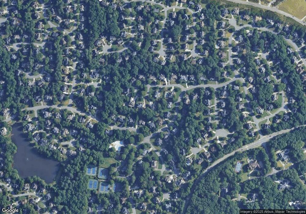
Map
- 725 Rose Creek Cir
- 750 Creek Wind Ct
- 7030 Sweet Creek Rd
- 655 Sweet Stream Trace Unit 1A
- 10783 Glenleigh Dr
- 7020 Sweet Creek Rd
- 200 York Town Cir
- 510 Sweet Stream Trace Unit 1A
- 345 Old York Rd Unit 7B
- 120 Wood River Ct
- 145 Whitestone Ct Unit 3A
- 10640 N Edgewater Place
- 400 Stedford Ln
- 1003 Shurcliff Ln
- 1420 Spyglass Hill Dr
- 340 Stedford Ln
- 420 Bevy Ct
- 6232 Clapham Ln
- 200 Abbotts Mill Dr
- 195 Jupiter Hills Point
- 10565 Sugar Crest Ave
- 10575 Sugar Crest Ave
- 10555 Sugar Crest Ave Unit 2A
- 8060 Sweet Creek Rd
- 275 Selkirk Ln
- 10560 Sugar Crest Ave
- 10550 Sugar Crest Ave
- 285 Selkirk Ln
- 10585 Sugar Crest Ave
- 10570 Sugar Crest Ave
- 8001 Sweet Creek Rd
- 295 Selkirk Ln
- 100 Shady Ridge Ct
- 8005 Sweet Creek Rd Unit 2B
- 265 Selkirk Ln
- 265 Selkirk Ln Unit Q
- 10595 Sugar Crest Ave
- 8030 Sweet Creek Rd
- 10580 Sugar Crest Ave Unit 2A
- 320 Hurst Bourne Ln Unit 177
Ask me questions while you tour the home.