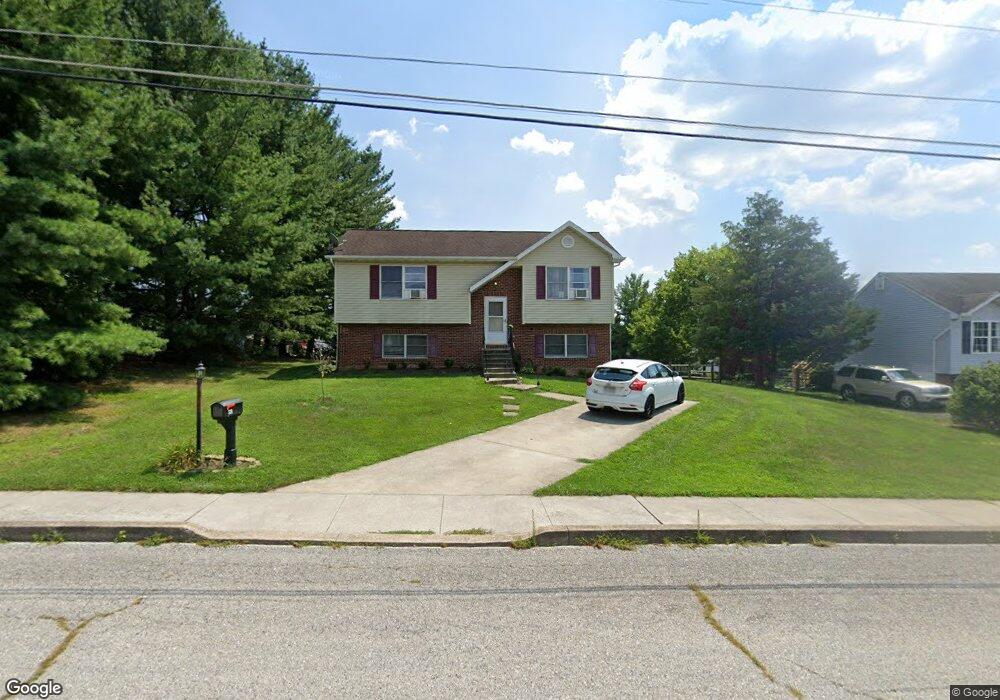
320 McSherry Woods Dr Unit 6 Littlestown, PA 17340
Estimated Value: $216,000 - $267,912
2
Beds
2
Baths
1,311
Sq Ft
$188/Sq Ft
Est. Value
About This Home
This home is located at 320 McSherry Woods Dr Unit 6, Littlestown, PA 17340 and is currently estimated at $245,978, approximately $187 per square foot. 320 McSherry Woods Dr Unit 6 is a home located in Adams County with nearby schools including Rolling Acres El School, Maple Avenue Middle School, and Littlestown Senior High School.
Ownership History
Date
Name
Owned For
Owner Type
Purchase Details
Closed on
Oct 5, 2009
Sold by
Boschert Susan S
Bought by
Lawrence Amanda L
Current Estimated Value
Home Financials for this Owner
Home Financials are based on the most recent Mortgage that was taken out on this home.
Original Mortgage
$156,000
Outstanding Balance
$110,269
Interest Rate
4.98%
Mortgage Type
USDA
Estimated Equity
$135,709
Create a Home Valuation Report for This Property
The Home Valuation Report is an in-depth analysis detailing your home's value as well as a comparison with similar homes in the area
Home Values in the Area
Average Home Value in this Area
Purchase History
| Date | Buyer | Sale Price | Title Company |
|---|---|---|---|
| Lawrence Amanda L | $156,000 | -- |
Source: Public Records
Mortgage History
| Date | Status | Borrower | Loan Amount |
|---|---|---|---|
| Open | Lawrence Amanda L | $156,000 |
Source: Public Records
Tax History Compared to Growth
Tax History
| Year | Tax Paid | Tax Assessment Tax Assessment Total Assessment is a certain percentage of the fair market value that is determined by local assessors to be the total taxable value of land and additions on the property. | Land | Improvement |
|---|---|---|---|---|
| 2025 | $3,506 | $152,500 | $39,300 | $113,200 |
| 2024 | $3,378 | $152,500 | $39,300 | $113,200 |
| 2023 | $3,247 | $152,500 | $39,300 | $113,200 |
| 2022 | $3,228 | $152,500 | $39,300 | $113,200 |
| 2021 | $3,132 | $152,500 | $39,300 | $113,200 |
| 2020 | $3,095 | $152,500 | $39,300 | $113,200 |
| 2019 | $3,002 | $152,500 | $39,300 | $113,200 |
| 2018 | $2,947 | $152,500 | $39,300 | $113,200 |
| 2017 | $2,871 | $152,500 | $39,300 | $113,200 |
| 2016 | -- | $152,500 | $39,300 | $113,200 |
| 2015 | -- | $152,500 | $39,300 | $113,200 |
| 2014 | -- | $152,500 | $39,300 | $113,200 |
Source: Public Records
Map
Nearby Homes
- 129 W King St
- 117 Charles St
- 115 Charles St
- 22 Rita Marie Ave
- 15 Yorktowne Ct Unit 97
- 28 Gettysburg Ct Unit 60
- 61 E King St
- 52 Stayman Way Unit 81
- 140 Apple Grove Ln Unit 425
- 135 Apple Grove Ln Unit 438
- 211 E King St
- 440 N Queen St
- 161 Stoners Cir
- 1024 Frederick Pike Unit 6
- 162 Newark St
- 449 Glenwyn Dr
- 58 Windsor Ct
- 48 Windsor Ct
- 41 Smith Cir
- 535 Lumber St
- 330 McSherry Woods Dr Unit 5
- 300 McSherry Woods Dr Unit 7
- 105 Mount Carmel Dr Unit 8
- 340 McSherry Woods Dr Unit 4
- 311 Lafayette Dr Unit 2
- 333 Lafayette Dr Unit 3
- 109 Mount Carmel Dr Unit 1
- 345 Lafayette Dr Unit 4
- 350 McSherry Woods Dr Unit 3
- 321 McSherry Woods Dr Unit 7
- 311 McSherry Woods Dr Unit 8
- 331 McSherry Woods Dr Unit 6
- 301 McSherry Woods Dr Unit 9
- 355 Lafayette Dr Unit 5
- 181 Cemetery St
- 341 McSherry Woods Dr Unit 5
- 360 McSherry Woods Dr Unit 2
- 310 Lafayette Dr Unit 191
- 334 Lafayette Dr Unit 190
- 351 McSherry Woods Dr Unit 4