320 Morrowfield Place Mount Ulla, NC 28125
Estimated Value: $443,000 - $557,000
Studio
3
Baths
2,067
Sq Ft
$248/Sq Ft
Est. Value
About This Home
This home is located at 320 Morrowfield Place, Mount Ulla, NC 28125 and is currently estimated at $511,891, approximately $247 per square foot. 320 Morrowfield Place is a home located in Rowan County with nearby schools including Mount Ulla Elementary School, West Rowan Middle School, and West Rowan High School.
Ownership History
Date
Name
Owned For
Owner Type
Purchase Details
Closed on
Jul 28, 2005
Sold by
Goddard Jeffrey Michael and Goddard Rebecca Lynn
Bought by
Moore Robert M and Moore Susan Nickles
Current Estimated Value
Home Financials for this Owner
Home Financials are based on the most recent Mortgage that was taken out on this home.
Original Mortgage
$26,600
Outstanding Balance
$13,910
Interest Rate
5.59%
Mortgage Type
Unknown
Estimated Equity
$497,981
Create a Home Valuation Report for This Property
The Home Valuation Report is an in-depth analysis detailing your home's value as well as a comparison with similar homes in the area
Purchase History
| Date | Buyer | Sale Price | Title Company |
|---|---|---|---|
| Moore Robert M | $28,000 | Chicago Title Insurance Comp |
Source: Public Records
Mortgage History
| Date | Status | Borrower | Loan Amount |
|---|---|---|---|
| Open | Moore Robert M | $26,600 |
Source: Public Records
Tax History
| Year | Tax Paid | Tax Assessment Tax Assessment Total Assessment is a certain percentage of the fair market value that is determined by local assessors to be the total taxable value of land and additions on the property. | Land | Improvement |
|---|---|---|---|---|
| 2025 | $3,331 | $497,202 | $53,125 | $444,077 |
| 2024 | $3,331 | $497,202 | $53,125 | $444,077 |
| 2023 | $3,331 | $497,202 | $53,125 | $444,077 |
| 2022 | $2,697 | $360,813 | $48,125 | $312,688 |
| 2021 | $2,625 | $360,813 | $48,125 | $312,688 |
| 2020 | $2,625 | $360,813 | $48,125 | $312,688 |
| 2019 | $2,625 | $360,813 | $48,125 | $312,688 |
| 2018 | $2,355 | $326,352 | $48,125 | $278,227 |
| 2017 | $2,355 | $326,352 | $48,125 | $278,227 |
| 2016 | $2,355 | $326,352 | $48,125 | $278,227 |
| 2015 | $2,391 | $326,352 | $48,125 | $278,227 |
| 2014 | $2,329 | $328,546 | $48,125 | $280,421 |
Source: Public Records
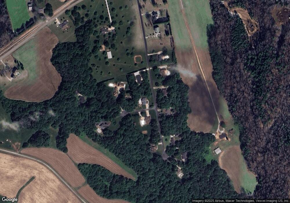
Map
Nearby Homes
- 388 Chinquapin Ln
- 1175 Gardenia Dr Unit 44
- 1250 Gardenia Dr Unit 13
- 1340 Gardenia Dr Unit 18
- 1360 Gardenia Dr Unit 19
- 1095 Gardenia Dr Unit 48
- 1290 Gardenia Dr Unit 15
- 1300 Gardenia Dr Unit 16
- 1380 Gardenia Dr Unit 20
- 1170 Gardenia Dr Unit 9
- 1230 Gardenia Dr Unit 12
- 1320 Gardenia Dr Unit 17
- 1155 Gardenia Dr Unit 45
- 1070 Gardenia Dr Unit 4
- 127 Mallardwood Dr Unit 33
- 1299 Mount Ulla Hwy
- 1070 Saddle Back Ln
- 130 Kepli Way
- 729 Amesbury Dr
- 112 Jentri Way
- 1033 Jenkins Branch Ln
- 290 Morrowfield Place
- 290 Morrowfield Place Unit 25
- 345 Morrowfield Place
- 1085 Jenkins Branch Ln
- 380 Morrowfield Place
- 375 Morrowfield Place
- 375 Morrowfield Place Unit 10
- 285 Morrowfield Place
- 255 Morrowfield Place
- 1089 Jenkins Branch Ln
- 440 Morrowfield Place
- 435 Morrowfield Place
- 225 Morrowfield Place
- 1086 Jenkins Branch Ln
- 465 Morrowfield Place
- 195 Morrowfield Place
- 15185 Nc Highway 801
- 15325 Nc Highway 801
- 15325 Nc Highway 801
Your Personal Tour Guide
Ask me questions while you tour the home.