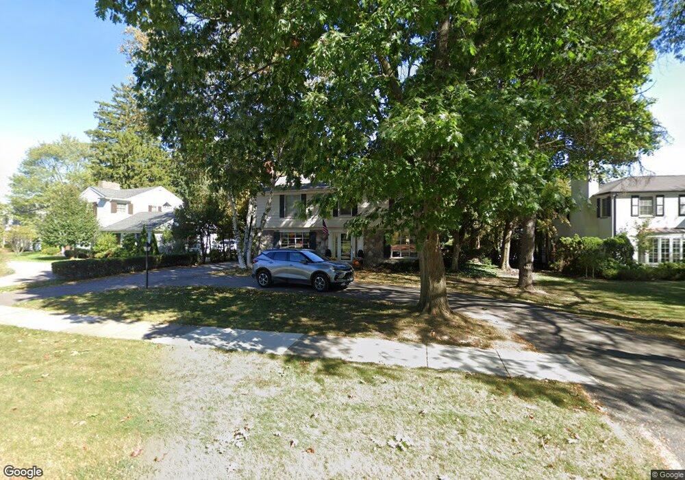
320 N Cranbrook Rd Bloomfield Hills, MI 48301
Estimated Value: $832,000 - $1,073,000
3
Beds
3
Baths
2,449
Sq Ft
$376/Sq Ft
Est. Value
About This Home
This home is located at 320 N Cranbrook Rd, Bloomfield Hills, MI 48301 and is currently estimated at $921,175, approximately $376 per square foot. 320 N Cranbrook Rd is a home located in Oakland County with nearby schools including Quarton Elementary, Derby Middle School, and Ernest W. Seaholm High School.
Ownership History
Date
Name
Owned For
Owner Type
Purchase Details
Closed on
May 7, 2019
Sold by
Apap Bridget M and Apap John
Bought by
Oudendyk Matthew and Baca Marrisa
Current Estimated Value
Purchase Details
Closed on
Dec 17, 2009
Sold by
Apap Bridget M and Apap John
Bought by
Apap Bridget M and Apap John
Home Financials for this Owner
Home Financials are based on the most recent Mortgage that was taken out on this home.
Original Mortgage
$500,000
Interest Rate
4.87%
Mortgage Type
New Conventional
Purchase Details
Closed on
Jun 5, 2002
Sold by
Allran Robert R
Bought by
Apap Bridget M
Home Financials for this Owner
Home Financials are based on the most recent Mortgage that was taken out on this home.
Original Mortgage
$405,000
Interest Rate
6.87%
Create a Home Valuation Report for This Property
The Home Valuation Report is an in-depth analysis detailing your home's value as well as a comparison with similar homes in the area
Home Values in the Area
Average Home Value in this Area
Purchase History
| Date | Buyer | Sale Price | Title Company |
|---|---|---|---|
| Oudendyk Matthew | $665,000 | Interstate Title Inc | |
| Apap Bridget M | -- | None Available | |
| Apap Bridget M | -- | -- |
Source: Public Records
Mortgage History
| Date | Status | Borrower | Loan Amount |
|---|---|---|---|
| Previous Owner | Apap Bridget M | $500,000 | |
| Previous Owner | Apap Bridget M | $405,000 |
Source: Public Records
Tax History Compared to Growth
Tax History
| Year | Tax Paid | Tax Assessment Tax Assessment Total Assessment is a certain percentage of the fair market value that is determined by local assessors to be the total taxable value of land and additions on the property. | Land | Improvement |
|---|---|---|---|---|
| 2024 | $6,642 | $345,550 | $0 | $0 |
| 2023 | $6,374 | $310,820 | $0 | $0 |
| 2022 | $11,239 | $289,720 | $0 | $0 |
| 2021 | $12,039 | $298,910 | $0 | $0 |
| 2020 | $6,505 | $293,870 | $0 | $0 |
| 2019 | $7,992 | $288,440 | $0 | $0 |
| 2018 | $7,906 | $277,380 | $0 | $0 |
| 2017 | $7,907 | $271,010 | $0 | $0 |
| 2016 | $7,952 | $263,920 | $0 | $0 |
| 2015 | -- | $251,960 | $0 | $0 |
| 2014 | -- | $228,910 | $0 | $0 |
| 2011 | -- | $167,210 | $0 | $0 |
Source: Public Records
Map
Nearby Homes
- 2579 Amberly Rd
- 397 S Cranbrook Rd
- 345 Kimberly St
- 1019 N Cranbrook Rd
- 120 Westchester Way
- 1834 Fairview St
- 1882 Melbourne St
- 394 S Glenhurst Dr
- 421 S Williamsbury Rd
- 956 Westwood Dr
- 100 Overhill Rd
- 3320 Morningview Terrace
- 586 Fairfax St
- 2802 Heathfield Rd
- 1120 Lyonhurst St
- 695 Westchester Way
- 231 Wadsworth Ln
- 520 Pleasant St
- 1260 Lyonhurst St
- 2721 Heathfield Rd
- 320 N Cranbrook Rd
- 364 N Cranbrook Rd
- 300 N Cranbrook Rd
- 323 Yarmouth Rd
- 400 N Cranbrook Rd
- 305 Yarmouth Rd
- 272 N Cranbrook Rd
- 351 Yarmouth Rd
- 275 Yarmouth Rd
- 420 N Cranbrook Rd
- 420 N Cranbrook Rd
- 391 N Cranbrook Rd
- 385 Yarmouth Rd
- 250 N Cranbrook Rd
- 375 N Cranbrook Cross Rd Unit Bldg-Unit
- 375 N Cranbrook Cross Rd
- 450 N Cranbrook Rd
- 2450 Bradway Blvd
- 320 Yarmouth Rd
- 268 Yarmouth Rd