Estimated Value: $144,000 - $178,000
--
Bed
--
Bath
--
Sq Ft
9,496
Sq Ft Lot
About This Home
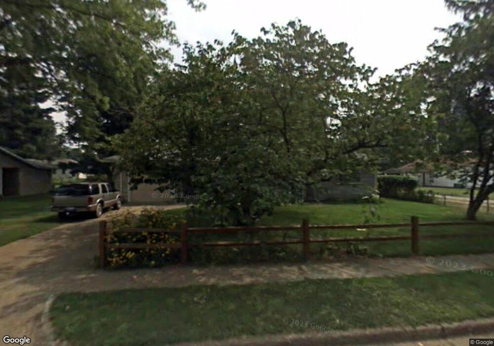
This home is located at 320 N Indiana Ave, Salem, IL 62881 and is currently estimated at $161,935. 320 N Indiana Ave is a home located in Marion County with nearby schools including Franklin Park Middle School, Hawthorn Elementary School, and Salem Community High School.
Ownership History
Date
Name
Owned For
Owner Type
Purchase Details
Closed on
Aug 20, 2018
Sold by
Beaty Donald L and Beaty Gail L
Bought by
Nguyen Thanh T and Doan Lieu Thi
Current Estimated Value
Home Financials for this Owner
Home Financials are based on the most recent Mortgage that was taken out on this home.
Original Mortgage
$112,520
Outstanding Balance
$97,975
Interest Rate
4.62%
Mortgage Type
New Conventional
Estimated Equity
$63,960
Purchase Details
Closed on
Aug 22, 2014
Sold by
Beaty Donald L
Bought by
Beaty Donald L and Beaty Gail L
Create a Home Valuation Report for This Property
The Home Valuation Report is an in-depth analysis detailing your home's value as well as a comparison with similar homes in the area
Home Values in the Area
Average Home Value in this Area
Purchase History
| Date | Buyer | Sale Price | Title Company |
|---|---|---|---|
| Nguyen Thanh T | $116,000 | Quad County Title | |
| Beaty Donald L | -- | -- |
Source: Public Records
Mortgage History
| Date | Status | Borrower | Loan Amount |
|---|---|---|---|
| Open | Nguyen Thanh T | $112,520 |
Source: Public Records
Tax History Compared to Growth
Tax History
| Year | Tax Paid | Tax Assessment Tax Assessment Total Assessment is a certain percentage of the fair market value that is determined by local assessors to be the total taxable value of land and additions on the property. | Land | Improvement |
|---|---|---|---|---|
| 2024 | $3,001 | $46,730 | $5,450 | $41,280 |
| 2023 | $2,982 | $43,670 | $5,090 | $38,580 |
| 2022 | $2,849 | $39,700 | $4,630 | $35,070 |
| 2021 | $2,760 | $37,110 | $4,330 | $32,780 |
| 2020 | $2,722 | $36,830 | $4,300 | $32,530 |
| 2019 | $2,663 | $35,480 | $4,140 | $31,340 |
| 2018 | $2,217 | $35,480 | $4,140 | $31,340 |
| 2017 | $2,176 | $34,790 | $4,060 | $30,730 |
| 2016 | $2,550 | $32,560 | $3,830 | $28,730 |
| 2015 | $20 | $32,560 | $3,830 | $28,730 |
| 2012 | $24 | $31,920 | $3,750 | $28,170 |
Source: Public Records
Map
Nearby Homes
- 235 N Indiana Ave
- 441 N Ohio Ave
- 00 Mills Cart Rd
- 0 Mills Cart Rd
- 301 S Castle St
- 512 Tulsa Ave
- 1200 Block Roddy Rd
- 620 N College St
- Lot 12 Cross Creek Blvd
- 518 Roddy Rd
- 721 W Whittaker St
- 102 Lost Hollow Dr
- 805 N Reel Ave
- 1400 Block W Boone St
- 1133 W Boone St
- 120 W Main St
- 121-123 W Main St
- 1108 Hawthorn Rd
- 416 S Maple St
- 524 N Broadway Ave
- 326 N Indiana St
- 300 N Indiana Ave
- 315 N Ohio Ave
- 100 Pine St
- 255 Pine St
- 2943 Pine St
- 321 N Ohio Ave
- 303 N Ohio Ave
- 301 N Indiana Ave
- 315 N Indiana Ave
- 344 N Indiana Ave
- 337 N Ohio Ave
- 240 N Indiana Ave
- 325 N Indiana Ave
- 225 N Ohio Ave
- 236 N Indiana Ave
- 345 N Indiana Ave
- 825 Markland St
- 404 N Indiana Ave
- 310 N Ohio Ave