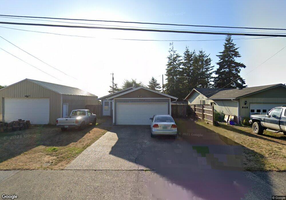
320 N Wasson St Coos Bay, OR 97420
Estimated Value: $286,000 - $344,000
3
Beds
2
Baths
1,176
Sq Ft
$266/Sq Ft
Est. Value
About This Home
This home is located at 320 N Wasson St, Coos Bay, OR 97420 and is currently estimated at $312,863, approximately $266 per square foot. 320 N Wasson St is a home located in Coos County with nearby schools including Sunset School, Madison Elementary School, and Marshfield Senior High School.
Ownership History
Date
Name
Owned For
Owner Type
Purchase Details
Closed on
May 18, 2007
Sold by
Paturzo Michael
Bought by
Horlacher Bradley J and Horlacher Larissa M
Current Estimated Value
Home Financials for this Owner
Home Financials are based on the most recent Mortgage that was taken out on this home.
Original Mortgage
$164,000
Outstanding Balance
$99,756
Interest Rate
6.17%
Mortgage Type
Unknown
Estimated Equity
$213,107
Purchase Details
Closed on
Aug 30, 2006
Sold by
Taggart Darrell and Rich Dolan R
Bought by
Paturzo Michael
Home Financials for this Owner
Home Financials are based on the most recent Mortgage that was taken out on this home.
Original Mortgage
$111,600
Interest Rate
8.65%
Mortgage Type
Unknown
Create a Home Valuation Report for This Property
The Home Valuation Report is an in-depth analysis detailing your home's value as well as a comparison with similar homes in the area
Home Values in the Area
Average Home Value in this Area
Purchase History
| Date | Buyer | Sale Price | Title Company |
|---|---|---|---|
| Horlacher Bradley J | $205,000 | Ticor Title Insurance | |
| Paturzo Michael | $124,000 | Ticor Title Insurance |
Source: Public Records
Mortgage History
| Date | Status | Borrower | Loan Amount |
|---|---|---|---|
| Open | Horlacher Bradley J | $164,000 | |
| Previous Owner | Paturzo Michael | $111,600 |
Source: Public Records
Tax History Compared to Growth
Tax History
| Year | Tax Paid | Tax Assessment Tax Assessment Total Assessment is a certain percentage of the fair market value that is determined by local assessors to be the total taxable value of land and additions on the property. | Land | Improvement |
|---|---|---|---|---|
| 2024 | $2,460 | $159,150 | -- | -- |
| 2023 | $2,385 | $154,520 | $0 | $0 |
| 2022 | $2,346 | $133,380 | $0 | $0 |
| 2021 | $2,285 | $129,500 | $0 | $0 |
| 2020 | $2,227 | $129,500 | $0 | $0 |
| 2019 | $2,139 | $122,450 | $0 | $0 |
Source: Public Records
Map
Nearby Homes
- 715 Jackson Ave
- 242 N Wasson St
- 235 N Wall St
- 274 N Cammann St
- 0 N Cammann St
- 293 N Empire Blvd
- 437 N Wasson St
- 283 N Main St
- 0 2185800 Unit 225689067
- 1022 Newmark Ave
- 1088 Newmark Ave
- 993 Salmon Ave
- 0 N Morrison St
- 755 Edwards
- 765 Edwards
- 01500 Cape Arago Hwy
- 736 Edwards Ave
- 1066 Pirates Ct
- 0 Michigan Ave Unit 24639238
- 620 John Ave
- 320 N Wasson St Unit 1
- 340 N Wasson St
- 298 N Wasson St
- 348 N Wasson St
- 716 Jackson Ave
- 325 N Wasson St
- 305 N Wall St
- 319 N Wall St
- 289 N Wall St
- 278 N Wasson St
- 746 Jackson Ave
- 339 N Wall St
- 310 N Wall St
- 0 N Wall St Unit 2700 17527060
- 0 N Wall St Unit 4300 22091778
- 0 N Wall St Unit 4300 22631122
- 0 N Wall St Unit 21694184
- 0 N Wall St Unit 8023004
- 0 N Wall St Unit 13319374
- 0 N Wall St Unit 14239853