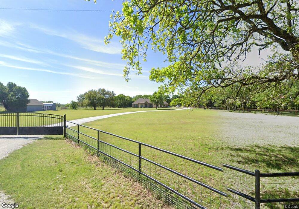
320 Norman Dr Millsap, TX 76066
Estimated Value: $903,000
--
Bed
--
Bath
2,532
Sq Ft
$357/Sq Ft
Est. Value
About This Home
This home is located at 320 Norman Dr, Millsap, TX 76066 and is currently estimated at $903,000, approximately $356 per square foot. 320 Norman Dr is a home with nearby schools including Millsap Elementary School, Millsap Middle School, and Millsap High School.
Ownership History
Date
Name
Owned For
Owner Type
Purchase Details
Closed on
Aug 15, 2017
Sold by
Jackson Margaret Ruth and Jackson Carol Susan
Bought by
Below Joe and Below Nanette
Current Estimated Value
Purchase Details
Closed on
Jan 9, 2017
Sold by
Lspi Exchange Corp
Bought by
Jackson Margaret Ruth and Margaret Ruth Jackson Living Trust
Purchase Details
Closed on
Apr 21, 2016
Sold by
Costantino Nick A
Bought by
Jackson Margaret Ruth Living Trust
Purchase Details
Closed on
Sep 13, 1990
Bought by
Jackson Margaret Ruth Living Trust
Create a Home Valuation Report for This Property
The Home Valuation Report is an in-depth analysis detailing your home's value as well as a comparison with similar homes in the area
Home Values in the Area
Average Home Value in this Area
Purchase History
| Date | Buyer | Sale Price | Title Company |
|---|---|---|---|
| Below Joe | -- | Providence Title Company | |
| Jackson Margaret Ruth | -- | Providence Title Company | |
| Jackson Margaret Ruth Living Trust | -- | -- | |
| Jackson Margaret Ruth Living Trust | -- | -- |
Source: Public Records
Tax History Compared to Growth
Tax History
| Year | Tax Paid | Tax Assessment Tax Assessment Total Assessment is a certain percentage of the fair market value that is determined by local assessors to be the total taxable value of land and additions on the property. | Land | Improvement |
|---|---|---|---|---|
| 2025 | $2,270 | $481,070 | $28,950 | $452,120 |
| 2024 | $2,270 | $451,198 | -- | -- |
| 2023 | $2,270 | $410,180 | $0 | $0 |
| 2022 | $7,075 | $413,690 | $15,400 | $398,290 |
| 2021 | $7,054 | $413,690 | $15,400 | $398,290 |
| 2020 | $6,631 | $308,180 | $17,810 | $290,370 |
| 2019 | $7,110 | $308,180 | $17,810 | $290,370 |
| 2018 | $21 | $117,340 | $0 | $0 |
| 2017 | $22 | $95,840 | $0 | $0 |
| 2016 | $7 | $26,170 | $0 | $0 |
| 2015 | $29 | $102,120 | $0 | $0 |
| 2014 | $26 | $85,480 | $0 | $0 |
Source: Public Records
Map
Nearby Homes
- TBD S Farm To Market Road 113
- 1747 Cool Jct
- 1651 Doss Rd
- 2101 Cool Jct
- 10309 Mineral Wells Hwy
- 4005 Marine Cir
- 10669 Mineral Wells Hwy
- 1045 Churchill Ln
- 2005 Tillman Blvd
- 417 Wood River Rd
- 2500 Cool Jct Unit Tract 2
- 990 Doss Rd
- 320 Wilson Bend Rd
- 600 Wilson Bend Rd
- 1005 Resolute Rd
- 250 Young Rd
- 110 Morris Ct
- 2017 Bedford Ct
- 9999 Trails End Cir
- 811 NE Front St