320 Northwood Dr Defiance, OH 43512
Estimated Value: $354,000 - $394,000
4
Beds
3
Baths
2,628
Sq Ft
$141/Sq Ft
Est. Value
About This Home
This home is located at 320 Northwood Dr, Defiance, OH 43512 and is currently estimated at $370,023, approximately $140 per square foot. 320 Northwood Dr is a home located in Defiance County with nearby schools including Defiance Elementary School, Defiance Middle School, and Defiance High School.
Ownership History
Date
Name
Owned For
Owner Type
Purchase Details
Closed on
Oct 17, 2008
Sold by
Schroeder Alfred W and Sprague Catherine A
Bought by
Degler William K and Degler Mary Lee
Current Estimated Value
Purchase Details
Closed on
May 23, 2006
Sold by
Mcfarland Bruce L and Mcfarland Suzanne L
Bought by
Schroeder Alfred W and Sprague Catherine A
Purchase Details
Closed on
Mar 30, 2000
Bought by
Degler William K and Mary Lee
Create a Home Valuation Report for This Property
The Home Valuation Report is an in-depth analysis detailing your home's value as well as a comparison with similar homes in the area
Home Values in the Area
Average Home Value in this Area
Purchase History
| Date | Buyer | Sale Price | Title Company |
|---|---|---|---|
| Degler William K | $149,925 | -- | |
| Schroeder Alfred W | $150,000 | None Available | |
| Degler William K | $152,500 | -- |
Source: Public Records
Tax History Compared to Growth
Tax History
| Year | Tax Paid | Tax Assessment Tax Assessment Total Assessment is a certain percentage of the fair market value that is determined by local assessors to be the total taxable value of land and additions on the property. | Land | Improvement |
|---|---|---|---|---|
| 2024 | $4,027 | $117,030 | $9,500 | $107,530 |
| 2023 | $4,027 | $117,030 | $9,500 | $107,530 |
| 2022 | $3,118 | $82,910 | $9,500 | $73,410 |
| 2021 | $3,118 | $82,910 | $9,500 | $73,410 |
| 2020 | $3,142 | $82,910 | $9,500 | $73,410 |
| 2019 | $2,868 | $74,940 | $9,490 | $65,450 |
| 2018 | $2,828 | $74,940 | $9,490 | $65,450 |
| 2017 | $2,751 | $74,946 | $9,492 | $65,454 |
| 2016 | $2,532 | $71,089 | $9,366 | $61,723 |
| 2015 | -- | $67,841 | $9,366 | $58,475 |
| 2014 | -- | $67,841 | $9,366 | $58,475 |
| 2013 | -- | $67,841 | $9,366 | $58,475 |
| 2012 | -- | $67,841 | $9,366 | $58,475 |
Source: Public Records
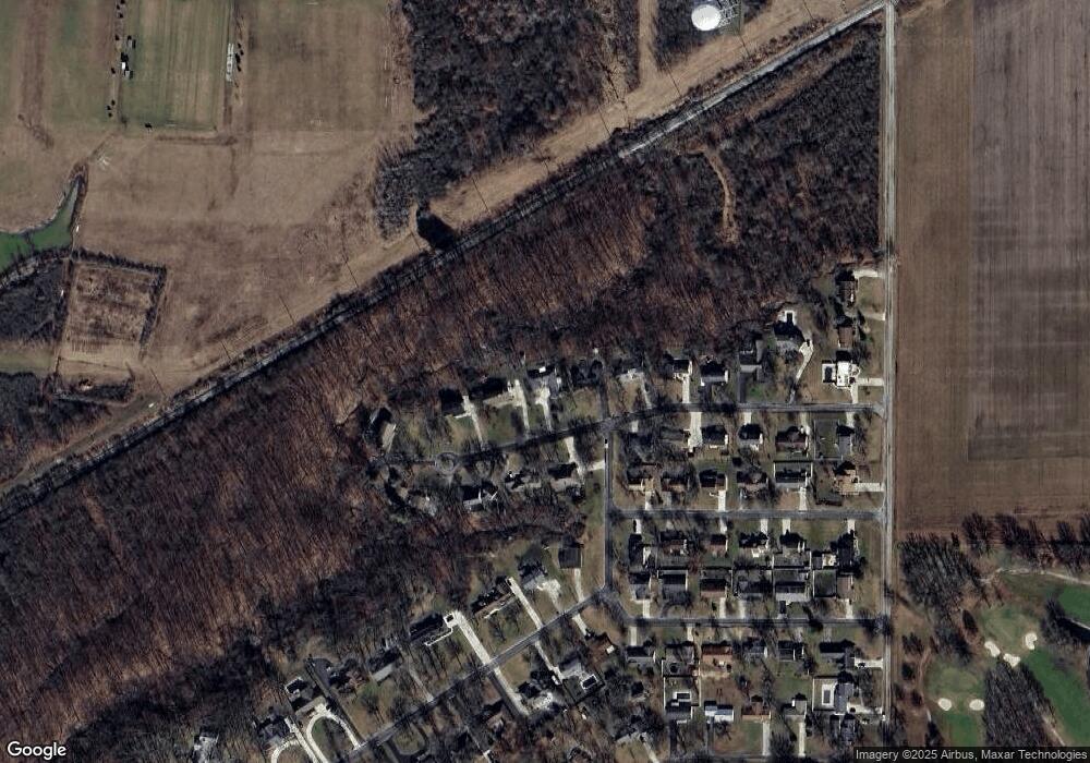
Map
Nearby Homes
- 205 Stadium Dr
- 230 Adams St
- 16 College Place
- 202 Southworth St
- 1275 Pinehurst Dr
- 679 Burning Tree Dr
- 673 Burning Tree Dr
- 655 Burning Tree Dr
- 649 Burning Tree Dr
- 700 North St
- 1408 Heatherdowns Dr
- 1365 Heatherdowns Dr
- 734 E Front St
- 850 Deerwood Dr
- 846 Deerwood Dr
- 558 Gibson St
- 1459 Deerwood Dr
- 415 Fort St
- 305 W 1st St
- 1819 Maumee Dr
- 324 Northwood Dr
- 312 Northwood Dr
- 321 Northwood Dr
- 319 Northwood Dr
- 332 Northwood Dr
- 313 Northwood Dr
- 311 Northwood Dr
- 328 Sunset St
- 331 Northwood Dr
- 328 Sunset Dr
- 308 Northwood Dr
- 336 Northwood Dr
- 332 Sunset St
- 335 Northwood Dr
- 264 Riverdale Dr
- 256 Riverdale Dr
- 333 Riverdale Dr
- 336 Sunset St
- 340 Northwood Dr
- 331 Sunset St