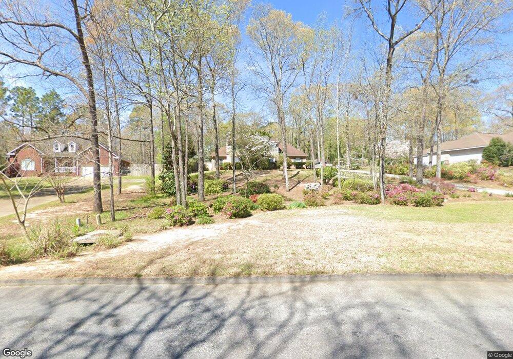
320 Pheasant Ridge Dr Warner Robins, GA 31088
Estimated Value: $301,000 - $339,000
3
Beds
3
Baths
2,412
Sq Ft
$132/Sq Ft
Est. Value
About This Home
This home is located at 320 Pheasant Ridge Dr, Warner Robins, GA 31088 and is currently estimated at $317,194, approximately $131 per square foot. 320 Pheasant Ridge Dr is a home located in Houston County with nearby schools including Quail Run Elementary School, Thomson Middle School, and Northside High School.
Ownership History
Date
Name
Owned For
Owner Type
Purchase Details
Closed on
May 2, 2018
Sold by
Floyd Harold E and Floyd Lea R
Bought by
Floyd Harold E and Floyd Lea R
Current Estimated Value
Purchase Details
Closed on
Sep 5, 1990
Sold by
Sussex Construction Co Inc
Bought by
Floyd Harold E and Floyd Lea R
Purchase Details
Closed on
Jun 19, 1990
Sold by
Eaton Enterprises Inc
Bought by
Sussex Construction Co Inc
Purchase Details
Closed on
Feb 26, 1990
Sold by
Eaton Real Estate Co
Bought by
Eaton Enterprises Inc
Purchase Details
Closed on
Jan 10, 1990
Sold by
Chapman Tom
Bought by
Eaton Real Estate Co
Create a Home Valuation Report for This Property
The Home Valuation Report is an in-depth analysis detailing your home's value as well as a comparison with similar homes in the area
Home Values in the Area
Average Home Value in this Area
Purchase History
| Date | Buyer | Sale Price | Title Company |
|---|---|---|---|
| Floyd Harold E | -- | None Available | |
| Floyd Harold E | -- | -- | |
| Sussex Construction Co Inc | -- | -- | |
| Eaton Enterprises Inc | -- | -- | |
| Eaton Real Estate Co | -- | -- |
Source: Public Records
Tax History Compared to Growth
Tax History
| Year | Tax Paid | Tax Assessment Tax Assessment Total Assessment is a certain percentage of the fair market value that is determined by local assessors to be the total taxable value of land and additions on the property. | Land | Improvement |
|---|---|---|---|---|
| 2024 | $2,612 | $111,200 | $12,000 | $99,200 |
| 2023 | $2,165 | $91,560 | $12,000 | $79,560 |
| 2022 | $1,949 | $82,640 | $11,200 | $71,440 |
| 2021 | $1,817 | $76,800 | $11,200 | $65,600 |
| 2020 | $1,699 | $71,600 | $11,200 | $60,400 |
| 2019 | $1,699 | $71,600 | $11,200 | $60,400 |
| 2018 | $1,699 | $71,600 | $11,200 | $60,400 |
| 2017 | $1,700 | $71,600 | $11,200 | $60,400 |
| 2016 | $1,703 | $71,600 | $11,200 | $60,400 |
| 2015 | $1,707 | $71,600 | $11,200 | $60,400 |
| 2014 | -- | $71,600 | $11,200 | $60,400 |
| 2013 | -- | $71,920 | $11,200 | $60,720 |
Source: Public Records
Map
Nearby Homes
- 322 Pheasant Ridge Dr
- 307 Pheasant Ridge Dr
- 108 Covey Run Dr
- 205 Bowen Dr
- Maple Plan at
- Belmont Plan at
- Oakwood Plan at
- Cannaberra Plan at
- Jackson Plan at
- Hawthorn Plan at
- Camden Plan at
- Delilah Plan at
- Aspen Plan at
- Dogwood Plan at
- Cypress Plan at
- Harrison Plan at
- 314 Briarmoor Dr
- 203 Morning Dove Ln
- 208 Antler Trail
- GRANBY Plan at David's Place
- 316 Pheasant Ridge Dr
- 141 Partridge Trail
- 515 Pheasant Ridge Dr
- 140 Partridge Trail
- 314 Pheasant Ridge Dr
- 139 Partridge Trail
- 512 Pheasant Ridge Dr
- 138 Partridge Trail
- 312 Pheasant Ridge Dr
- 137 Partridge Trail
- 504 Smithville Church Rd
- 510 Pheasant Ridge Dr
- 511 Pheasant Ridge Dr
- 116 Covey Run Dr
- 313 Pheasant Ridge Dr
- 219 Bowen Dr
- 114 Covey Run Dr
- 135 Partridge Trail
- 509 Pheasant Ridge Dr
- 310 Pheasant Ridge Dr