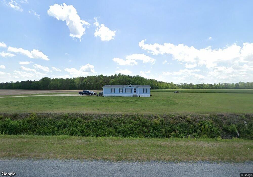
320 Rawhide Rd Newton Grove, NC 28366
Estimated Value: $301,000 - $499,398
3
Beds
3
Baths
2,596
Sq Ft
$154/Sq Ft
Est. Value
About This Home
This home is located at 320 Rawhide Rd, Newton Grove, NC 28366 and is currently estimated at $399,466, approximately $153 per square foot. 320 Rawhide Rd is a home located in Sampson County with nearby schools including Hobbton Elementary School, Hobbton Middle School, and Hobbton High School.
Ownership History
Date
Name
Owned For
Owner Type
Purchase Details
Closed on
Feb 2, 2023
Sold by
Blackman Emily Jane
Bought by
Blackman Emily Jane and Blackman Lisa Marie
Current Estimated Value
Home Financials for this Owner
Home Financials are based on the most recent Mortgage that was taken out on this home.
Original Mortgage
$544,747
Outstanding Balance
$519,159
Interest Rate
4%
Mortgage Type
Construction
Estimated Equity
-$119,693
Purchase Details
Closed on
Dec 4, 1996
Bought by
Blackman Emily Jane
Create a Home Valuation Report for This Property
The Home Valuation Report is an in-depth analysis detailing your home's value as well as a comparison with similar homes in the area
Home Values in the Area
Average Home Value in this Area
Purchase History
| Date | Buyer | Sale Price | Title Company |
|---|---|---|---|
| Blackman Emily Jane | -- | -- | |
| Blackman Emily Jane | -- | None Listed On Document | |
| Blackman Emily Jane | -- | -- |
Source: Public Records
Mortgage History
| Date | Status | Borrower | Loan Amount |
|---|---|---|---|
| Open | Blackman Emily Jane | $544,747 | |
| Closed | Blackman Emily Jane | $544,747 |
Source: Public Records
Tax History Compared to Growth
Tax History
| Year | Tax Paid | Tax Assessment Tax Assessment Total Assessment is a certain percentage of the fair market value that is determined by local assessors to be the total taxable value of land and additions on the property. | Land | Improvement |
|---|---|---|---|---|
| 2025 | $3,467 | $456,120 | $17,983 | $438,137 |
| 2024 | $3,124 | $456,120 | $0 | $0 |
| 2023 | $367 | $40,783 | $16,655 | $24,128 |
| 2022 | $367 | $40,783 | $16,655 | $24,128 |
| 2021 | $367 | $40,783 | $16,655 | $24,128 |
| 2020 | $367 | $40,783 | $16,655 | $24,128 |
| 2019 | $367 | $40,783 | $0 | $0 |
| 2018 | $486 | $54,027 | $0 | $0 |
| 2017 | $481 | $54,027 | $0 | $0 |
| 2016 | $484 | $54,027 | $0 | $0 |
| 2015 | $484 | $54,027 | $0 | $0 |
| 2014 | $484 | $54,027 | $0 | $0 |
Source: Public Records
Map
Nearby Homes
- 13015 Hobbton Hwy
- 0 Suttontown Rd Unit 100516331
- 0 Suttontown Rd
- 0 Hobbton Hwy Unit 100510708
- 520 Fayetteville St
- 10455 U S 701 Hwy
- 0 Main St
- 9501 Harper House Rd
- 9505 Harper House Rd
- 762 Share Cake Rd
- 1676 Smithfield Hwy
- 573 Langston Rd
- 904 Langston Rd
- 410 E Barefoot Rd
- 00 Trail End Ln
- 00 Trail End Ln Unit LotWP001
- 10263 U S 701 Hwy
- 12525 N Carolina 50
- 3566 N McCullen Rd
- 3092 Harnett-Dunn Hwy
- 381 Rawhide Rd
- 353 Rawhide Rd
- 225 Rawhide Rd
- 473 Rawhide Rd
- 639 Rawhide Rd
- 2360 William R King Rd
- 2300 William R King Rd
- 2270 William R King Rd
- 2511 William R King Rd
- 2670 William R King Rd
- 2321 William R King Rd
- 2141 William R King Rd
- 2653 William R King Rd
- 2719 William R King Rd
- 3180 William R King Rd
- 3131 William R King Rd
- 3260 William R King Rd
- 469 Boyette Rd
- 1523 Massey Rd
- 1515 William R King Rd