320 Robert Cir Unit 6 Alpine, UT 84004
Estimated Value: $773,000 - $1,413,000
5
Beds
4
Baths
4,555
Sq Ft
$252/Sq Ft
Est. Value
About This Home
This home is located at 320 Robert Cir Unit 6, Alpine, UT 84004 and is currently estimated at $1,149,724, approximately $252 per square foot. 320 Robert Cir Unit 6 is a home located in Utah County with nearby schools including Alpine School, Timberline Middle School, and Lone Peak High School.
Ownership History
Date
Name
Owned For
Owner Type
Purchase Details
Closed on
May 15, 2023
Sold by
Dellergo Mark V
Bought by
Colemere Michael G
Current Estimated Value
Purchase Details
Closed on
Feb 28, 2019
Sold by
Dell Ergo Mark V
Bought by
Dell Ergo Mark V and Dell Ergo Jill
Home Financials for this Owner
Home Financials are based on the most recent Mortgage that was taken out on this home.
Original Mortgage
$377,200
Interest Rate
4.37%
Mortgage Type
FHA
Purchase Details
Closed on
Feb 27, 2019
Sold by
Patterson Homes Llc
Bought by
Dell Ergo Mark V
Home Financials for this Owner
Home Financials are based on the most recent Mortgage that was taken out on this home.
Original Mortgage
$377,200
Interest Rate
4.37%
Mortgage Type
FHA
Purchase Details
Closed on
Apr 9, 2018
Sold by
Patterson Construction Inc
Bought by
Patterson Homes Llc
Create a Home Valuation Report for This Property
The Home Valuation Report is an in-depth analysis detailing your home's value as well as a comparison with similar homes in the area
Home Values in the Area
Average Home Value in this Area
Purchase History
| Date | Buyer | Sale Price | Title Company |
|---|---|---|---|
| Colemere Michael G | -- | Meridian Title Company | |
| Dell Ergo Mark V | -- | Gt Title Services | |
| Dell Ergo Mark V | -- | Gt Title Services | |
| Patterson Homes Llc | -- | Gt Title Services |
Source: Public Records
Mortgage History
| Date | Status | Borrower | Loan Amount |
|---|---|---|---|
| Previous Owner | Dell Ergo Mark V | $377,200 |
Source: Public Records
Tax History
| Year | Tax Paid | Tax Assessment Tax Assessment Total Assessment is a certain percentage of the fair market value that is determined by local assessors to be the total taxable value of land and additions on the property. | Land | Improvement |
|---|---|---|---|---|
| 2025 | $4,383 | $538,010 | -- | -- |
| 2024 | $4,383 | $510,840 | $0 | $0 |
| 2023 | $4,178 | $522,775 | $0 | $0 |
| 2022 | $3,837 | $466,290 | $0 | $0 |
| 2021 | $3,526 | $665,600 | $231,000 | $434,600 |
| 2020 | $3,394 | $627,000 | $200,900 | $426,100 |
| 2019 | $3,033 | $584,900 | $200,900 | $384,000 |
| 2018 | $1,917 | $200,900 | $200,900 | $0 |
Source: Public Records
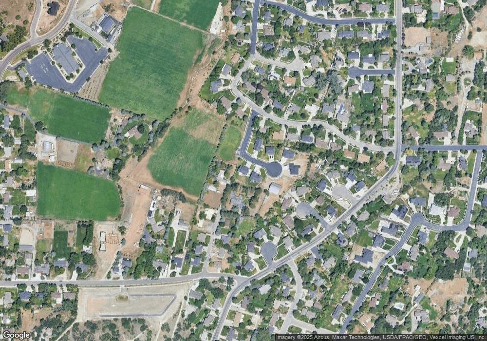
Map
Nearby Homes
- 512 Eastridge Cir
- 475 Grove Dr
- 381 E Watkins Cir Unit 28
- 382 E Heritage Hills Dr
- 463 Heritage Hills Dr
- 287 Heritage Hills Dr
- 499 E 300 N
- 19 E Elk Ct
- 128 E Deer Crest Ln Unit 304
- 102 E Deer Crest Ln
- 1319 N Eastview Ln Unit 214
- 1333 N Eastview Ln
- 151 Glacier Lily Dr
- 1449 N Annie Cir
- 48 N 100 E
- 1292 N Elk Ridge Ln
- 353 International Way
- 986 N Sunbrook Cir
- 248 Deerfield Dr
- 1540 Cherrypoint Ln Unit 7
- 340 Robert Cir
- 741 N Patterson Ln
- 335 Robert Cir Unit 1
- 710 N Patterson Ln
- 357 Robert Cir Unit 2
- 371 Robert Cir Unit 3
- 371 Robert Cir Unit 3
- 383 Robert Cir Unit 4
- 371 Robert Cir
- 372 Eastview Dr
- 383 Robert Cir
- 388 Quincy Ct
- 673 N Patterson Ln
- 668 N Patterson Ln
- 328 Eastview Dr
- 388 Eastview Dr
- 389 Quincy Ct
- 358 Waynes Ct
- 358 Waynes Ct
- 381 Waynes Ct
Your Personal Tour Guide
Ask me questions while you tour the home.