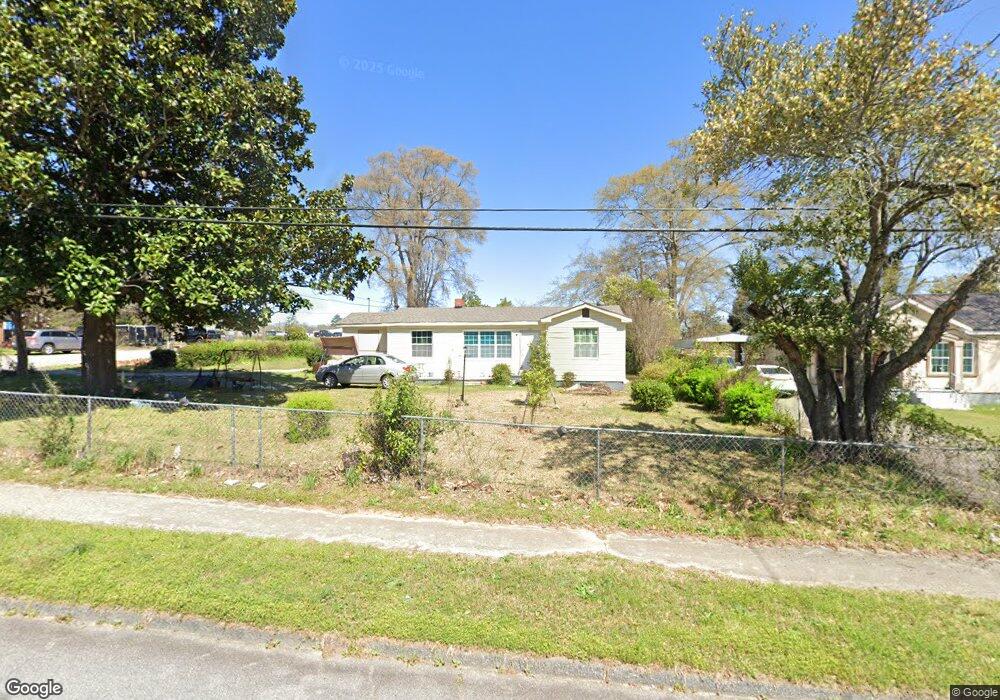
320 Robins Dr Warner Robins, GA 31088
Estimated Value: $87,398 - $180,000
Studio
1
Bath
1,221
Sq Ft
$99/Sq Ft
Est. Value
About This Home
This home is located at 320 Robins Dr, Warner Robins, GA 31088 and is currently estimated at $120,850, approximately $98 per square foot. 320 Robins Dr is a home located in Houston County with nearby schools including C. B. Watson Primary School, Pearl Stephens Elementary School, and Huntington Middle School.
Ownership History
Date
Name
Owned For
Owner Type
Purchase Details
Closed on
Nov 25, 2015
Sold by
Whitest Willie
Bought by
Whitest Willie and Whitest Glendia
Current Estimated Value
Purchase Details
Closed on
Jan 30, 2009
Sold by
Whitest Willie J
Bought by
Whitest Willie J and Davis Peggy
Purchase Details
Closed on
Nov 24, 1998
Sold by
Pendley Doris L and Pendley Caleb G
Bought by
Whitest Willie J and Long Eura Lee
Purchase Details
Closed on
Jun 22, 1995
Sold by
Griffin Evelyn J
Bought by
Pendley Doris L and Pendley Caleb G
Purchase Details
Closed on
Feb 5, 1993
Sold by
Pendley Caleb G and Pendley Doris L
Bought by
Griffin Evelyn J
Purchase Details
Closed on
Sep 8, 1980
Sold by
Dewyngaert Wayne L and Dewyngaert Rose M
Bought by
Pendley Caleb G and Pendley Doris L
Purchase Details
Closed on
Dec 29, 1978
Sold by
Mullins Rickey D and Mullins Sharon K
Bought by
Dewyngaert Wayne L and Dewyngaert Rose M
Purchase Details
Closed on
Nov 19, 1976
Sold by
Jaccino Guido
Bought by
Mullins Rickey D and Mullins Sharon K
Purchase Details
Closed on
May 18, 1966
Sold by
Card Earl
Bought by
Jaccino Guido
Purchase Details
Closed on
Apr 14, 1966
Sold by
Poole B B
Bought by
Card Earl
Purchase Details
Closed on
Apr 25, 1950
Bought by
Poole B B
Create a Home Valuation Report for This Property
The Home Valuation Report is an in-depth analysis detailing your home's value as well as a comparison with similar homes in the area
Home Values in the Area
Average Home Value in this Area
Purchase History
| Date | Buyer | Sale Price | Title Company |
|---|---|---|---|
| Whitest Willie | -- | -- | |
| Whitest Willie J | -- | None Available | |
| Whitest Willie J | $43,500 | -- | |
| Pendley Doris L | -- | -- | |
| Griffin Evelyn J | $29,900 | -- | |
| Pendley Caleb G | -- | -- | |
| Dewyngaert Wayne L | -- | -- | |
| Mullins Rickey D | -- | -- | |
| Jaccino Guido | -- | -- | |
| Card Earl | -- | -- | |
| Poole B B | -- | -- |
Source: Public Records
Tax History
| Year | Tax Paid | Tax Assessment Tax Assessment Total Assessment is a certain percentage of the fair market value that is determined by local assessors to be the total taxable value of land and additions on the property. | Land | Improvement |
|---|---|---|---|---|
| 2025 | $542 | $35,840 | $5,280 | $30,560 |
| 2024 | $534 | $30,000 | $3,520 | $26,480 |
| 2023 | $281 | $21,360 | $2,080 | $19,280 |
| 2022 | $246 | $19,840 | $2,080 | $17,760 |
| 2021 | $189 | $17,320 | $2,080 | $15,240 |
| 2020 | $187 | $17,200 | $2,080 | $15,120 |
| 2019 | $353 | $17,200 | $2,080 | $15,120 |
| 2018 | $353 | $17,200 | $2,080 | $15,120 |
| 2017 | $353 | $17,200 | $2,080 | $15,120 |
| 2016 | $354 | $17,200 | $2,080 | $15,120 |
| 2015 | $254 | $12,880 | $2,080 | $10,800 |
| 2014 | -- | $13,440 | $2,080 | $11,360 |
| 2013 | -- | $14,360 | $2,080 | $12,280 |
Source: Public Records
Map
Nearby Homes
- 301 Doyle St
- 104 Lady Ln
- 0 S 2nd St
- 305 N 4th St
- 207 Eaker Dr
- 402 Lydick Ave
- 404 N 5th St
- 311 Dixon St
- 208 Southview Ave
- 201 Meadowdale Dr
- 920 Mcarthur Blvd
- 108 Southend Ave
- 803 Crestwood Terrace
- 212 Arnold Blvd
- 100 Chuck Cir
- 141 Wall St
- 126 Lincoln St
- 113 Vernon Dr
- 908 Crestwood Terrace
- 304 Wall St
Your Personal Tour Guide
Ask me questions while you tour the home.