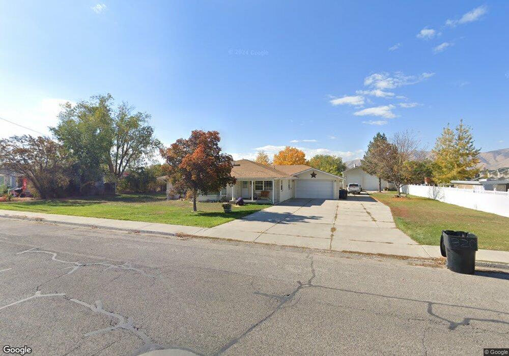
320 S 800 W Payson, UT 84651
Estimated Value: $537,000 - $581,000
4
Beds
2
Baths
2,914
Sq Ft
$193/Sq Ft
Est. Value
About This Home
This home is located at 320 S 800 W, Payson, UT 84651 and is currently estimated at $562,486, approximately $193 per square foot. 320 S 800 W is a home located in Utah County with nearby schools including Wilson Elementary School, Mt. Nebo Middle, and Payson Junior High School.
Ownership History
Date
Name
Owned For
Owner Type
Purchase Details
Closed on
Dec 20, 2013
Sold by
Taylor Dennis Oral
Bought by
Franson Travis S and Franson Janet
Current Estimated Value
Home Financials for this Owner
Home Financials are based on the most recent Mortgage that was taken out on this home.
Original Mortgage
$119,000
Outstanding Balance
$88,804
Interest Rate
4.17%
Mortgage Type
New Conventional
Estimated Equity
$473,682
Create a Home Valuation Report for This Property
The Home Valuation Report is an in-depth analysis detailing your home's value as well as a comparison with similar homes in the area
Home Values in the Area
Average Home Value in this Area
Purchase History
| Date | Buyer | Sale Price | Title Company |
|---|---|---|---|
| Franson Travis S | -- | Select Title Ins Agency |
Source: Public Records
Mortgage History
| Date | Status | Borrower | Loan Amount |
|---|---|---|---|
| Open | Franson Travis S | $119,000 |
Source: Public Records
Tax History
| Year | Tax Paid | Tax Assessment Tax Assessment Total Assessment is a certain percentage of the fair market value that is determined by local assessors to be the total taxable value of land and additions on the property. | Land | Improvement |
|---|---|---|---|---|
| 2025 | $2,785 | $305,855 | -- | -- |
| 2024 | $2,785 | $283,415 | $0 | $0 |
| 2023 | $2,737 | $279,345 | $0 | $0 |
| 2022 | $2,492 | $250,085 | $0 | $0 |
| 2021 | $2,072 | $333,600 | $112,200 | $221,400 |
| 2020 | $1,936 | $304,900 | $97,600 | $207,300 |
| 2019 | $1,806 | $291,600 | $84,300 | $207,300 |
| 2018 | $1,615 | $251,300 | $71,000 | $180,300 |
| 2017 | $1,479 | $123,805 | $0 | $0 |
| 2016 | $1,363 | $113,300 | $0 | $0 |
| 2015 | $1,217 | $100,540 | $0 | $0 |
| 2014 | $1,179 | $98,065 | $0 | $0 |
Source: Public Records
Map
Nearby Homes
- 221 S Majestic Meadows Dr
- 225 S Majestic Meadows Dr
- 227 S Majestic Meadows Dr
- 742 W 400 S
- 368 S 1000 W
- 533 S 700 W
- 588 W Utah Ave
- 626 S 800 W Unit 32
- 323 W 100 S Unit 2
- 311 S 400 W
- 128 S 300 W
- 116 S 300 W
- 845 W 400 N
- 846 S 880 W
- 451 N 500 W
- 451 N 500 W Unit 39
- 195 W 300 N
- 310 N 1500 W
- 549 S Main St
- 991 S 930 W
- 264 S 800 W
- 322 S 800 W
- 262 S 800 W
- 281 S 900 W
- 321 S 900 W
- 340 S 800 W
- 279 S 900 W
- 303 S 800 W
- 243 S Majestic Meadows Dr
- 243 Majestic Meadows Dr
- 287 S 800 W
- 357 S 900 W
- 241 Majestic Meadows Dr
- 241 S Majestic Meadows Dr
- 245 Majestic Meadows Dr
- 352 S 800 W
- 239 Majestic Meadows Dr
- 237 Majestic Meadows Dr
- 237 Majestic Meadows Dr Unit 13
- 237 S Majestic Meadows Dr
Your Personal Tour Guide
Ask me questions while you tour the home.