Estimated Value: $602,262
Studio
--
Bath
3,233
Sq Ft
$186/Sq Ft
Est. Value
About This Home
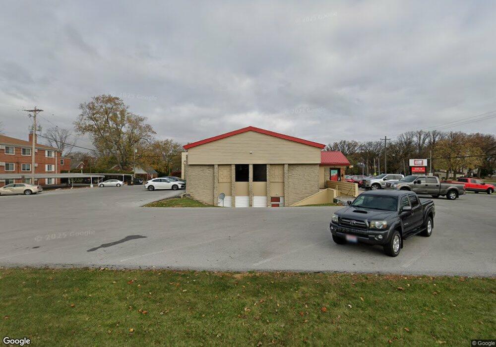
This home is located at 320 S Cable Rd, Lima, OH 45805 and is currently estimated at $602,262, approximately $186 per square foot. 320 S Cable Rd is a home located in Allen County with nearby schools including Maplewood Elementary School, Elmwood Elementary School, and Shawnee Middle School.
Ownership History
Date
Name
Owned For
Owner Type
Purchase Details
Closed on
Apr 4, 2018
Sold by
Dirtyd Properties Llc
Bought by
Heaphy Harmony Real Estate Llc
Current Estimated Value
Home Financials for this Owner
Home Financials are based on the most recent Mortgage that was taken out on this home.
Original Mortgage
$276,000
Outstanding Balance
$237,134
Interest Rate
4.4%
Mortgage Type
Commercial
Estimated Equity
$365,128
Purchase Details
Closed on
Sep 4, 2015
Sold by
Liu Chia Lung and Liu Fang Hsiang
Bought by
Dirtyd Properties Llc
Home Financials for this Owner
Home Financials are based on the most recent Mortgage that was taken out on this home.
Original Mortgage
$179,250
Interest Rate
3.97%
Mortgage Type
Future Advance Clause Open End Mortgage
Purchase Details
Closed on
Oct 23, 1987
Bought by
Liu Chia Lung
Create a Home Valuation Report for This Property
The Home Valuation Report is an in-depth analysis detailing your home's value as well as a comparison with similar homes in the area
Purchase History
| Date | Buyer | Sale Price | Title Company |
|---|---|---|---|
| Heaphy Harmony Real Estate Llc | $351,000 | None Available | |
| Dirtyd Properties Llc | $239,000 | None Available | |
| Liu Chia Lung | $225,000 | -- |
Source: Public Records
Mortgage History
| Date | Status | Borrower | Loan Amount |
|---|---|---|---|
| Open | Heaphy Harmony Real Estate Llc | $276,000 | |
| Previous Owner | Dirtyd Properties Llc | $179,250 |
Source: Public Records
Tax History
| Year | Tax Paid | Tax Assessment Tax Assessment Total Assessment is a certain percentage of the fair market value that is determined by local assessors to be the total taxable value of land and additions on the property. | Land | Improvement |
|---|---|---|---|---|
| 2024 | $7,501 | $133,180 | $63,950 | $69,230 |
| 2023 | $7,491 | $121,070 | $58,140 | $62,930 |
| 2022 | $7,528 | $121,070 | $58,140 | $62,930 |
| 2021 | $7,536 | $121,070 | $58,140 | $62,930 |
| 2020 | $6,716 | $112,220 | $58,140 | $54,080 |
| 2019 | $6,716 | $112,220 | $58,140 | $54,080 |
| 2018 | $6,688 | $112,220 | $58,140 | $54,080 |
| 2017 | $6,685 | $112,220 | $58,140 | $54,080 |
| 2016 | $6,689 | $112,920 | $58,140 | $54,780 |
| 2015 | $6,948 | $112,920 | $58,140 | $54,780 |
| 2014 | $6,948 | $120,620 | $58,140 | $62,480 |
| 2013 | $6,418 | $120,620 | $58,140 | $62,480 |
Source: Public Records
Map
Nearby Homes
- 161 S Cable Rd
- 1880 Wendell Ave
- 2700 Lowell Ave
- 2201 W High St
- 2802 Lowell Ave
- 275 N Dale Dr
- 2250 Kunneke Ave
- XXXX Spencerville Rd
- 1918 Oakland Pkwy
- 906 Daniels Ave
- 2949 Lakewood Ave
- 2921 Canterbury Dr
- 1716 Oakland Pkwy
- 308 S Judkins Ave
- 2964 Hanover Dr
- 784 S Judkins Ave
- 2072 Arcadia Ave
- 1541 Oakland Pkwy
- 1607 W Wayne St
- 3071 Canterbury Dr
Your Personal Tour Guide
Ask me questions while you tour the home.