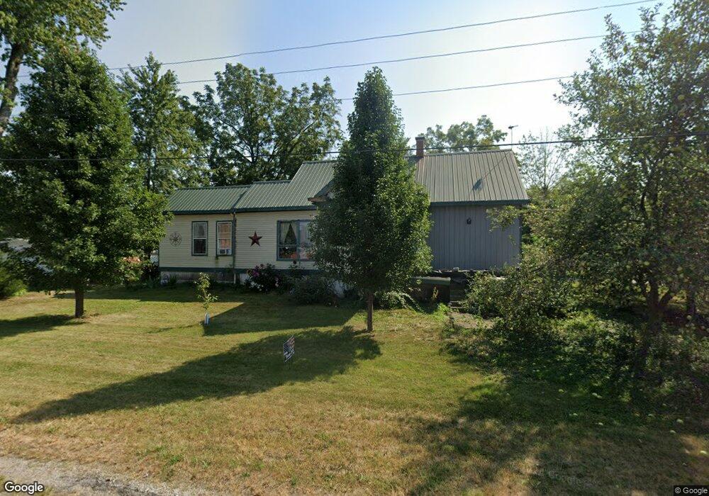
320 S Myrtle Ave Roodhouse, IL 62082
Estimated Value: $50,012 - $88,000
--
Bed
--
Bath
--
Sq Ft
7,187
Sq Ft Lot
About This Home
This home is located at 320 S Myrtle Ave, Roodhouse, IL 62082 and is currently estimated at $63,337. 320 S Myrtle Ave is a home with nearby schools including North Greene Elementary School and North Greene Junior-Senior High School.
Ownership History
Date
Name
Owned For
Owner Type
Purchase Details
Closed on
Apr 29, 2010
Sold by
Todd William H
Bought by
Castleman Stephen R and Castleman Opal
Current Estimated Value
Home Financials for this Owner
Home Financials are based on the most recent Mortgage that was taken out on this home.
Original Mortgage
$43,857
Interest Rate
4.37%
Purchase Details
Closed on
Apr 6, 2010
Sold by
Castleman Stephen R and Castleman Opal
Bought by
Jennings Kyle R
Home Financials for this Owner
Home Financials are based on the most recent Mortgage that was taken out on this home.
Original Mortgage
$43,857
Interest Rate
4.37%
Purchase Details
Closed on
Aug 21, 2008
Sold by
Todd William H
Bought by
Castleman Stephen R and Castleman Opal
Create a Home Valuation Report for This Property
The Home Valuation Report is an in-depth analysis detailing your home's value as well as a comparison with similar homes in the area
Home Values in the Area
Average Home Value in this Area
Purchase History
| Date | Buyer | Sale Price | Title Company |
|---|---|---|---|
| Castleman Stephen R | -- | -- | |
| Jennings Kyle R | -- | -- | |
| Castleman Stephen R | -- | -- |
Source: Public Records
Mortgage History
| Date | Status | Borrower | Loan Amount |
|---|---|---|---|
| Closed | Jennings Kyle R | $43,857 |
Source: Public Records
Tax History Compared to Growth
Tax History
| Year | Tax Paid | Tax Assessment Tax Assessment Total Assessment is a certain percentage of the fair market value that is determined by local assessors to be the total taxable value of land and additions on the property. | Land | Improvement |
|---|---|---|---|---|
| 2024 | $648 | $11,845 | $3,250 | $8,595 |
| 2023 | $656 | $11,348 | $3,114 | $8,234 |
| 2022 | $665 | $10,667 | $2,674 | $7,993 |
| 2021 | $690 | $10,045 | $2,518 | $7,527 |
| 2020 | $706 | $9,683 | $2,427 | $7,256 |
| 2019 | $719 | $9,259 | $2,427 | $6,832 |
| 2018 | $711 | $9,259 | $2,427 | $6,832 |
| 2017 | $714 | $9,259 | $2,427 | $6,832 |
| 2015 | $359 | $3,516 | $2,427 | $1,089 |
| 2012 | $361 | $3,400 | $0 | $0 |
Source: Public Records
Map
Nearby Homes
- 514 E Palm St
- 238 E Prairie St
- 121 E Franklin St
- 114 N Hammond St
- 220 E North St
- 226 Washington St
- 339 Washington St
- 491 NW 1225 St
- 629 N Main St
- 545 N Main St
- 430 Centennial St
- 205 Ayres St
- 343 Westmore Dr
- 331 Westmore Dr
- 225 Tunison Ave
- 1752 Duncan Rd
- 682 NE 800 St
- 197 NW 850 St
- 501 Jefferson St
- 101 Cottage Ln
- 339 E Randolph St
- 402 S Myrtle Ave
- 302 S Myrtle Ave
- 327 E Randolph St
- 220 Myrtle St
- 415 E Rowe St
- 321 E Randolph St
- 321 E Randolph St
- 321 E Randolph St
- 220 S Myrtle Ave
- 221 S Myrtle Ave
- 221 S Myrtle Ave
- 415 E Franklin St
- 314 E Randolph St
- 333 E Franklin St
- 314 E Franklin St
- 327 E Franklin St
- 417 E Franklin St
- 315 E Randolph St
- 321 E Rowe St