Estimated Value: $307,000 - $434,000
3
Beds
2
Baths
1,635
Sq Ft
$219/Sq Ft
Est. Value
About This Home
This home is located at 320 S Range Rd, Cocoa, FL 32926 and is currently estimated at $357,351, approximately $218 per square foot. 320 S Range Rd is a home located in Brevard County with nearby schools including Saturn Elementary School, Ronald McNair Magnet Middle School, and Rockledge Senior High School.
Ownership History
Date
Name
Owned For
Owner Type
Purchase Details
Closed on
Nov 16, 2020
Sold by
Harris Linda G
Bought by
Harris Linda G and Linda G Harris Trust
Current Estimated Value
Purchase Details
Closed on
Jan 26, 2007
Sold by
Schmalenberger Linda G
Bought by
Harris Linda G
Home Financials for this Owner
Home Financials are based on the most recent Mortgage that was taken out on this home.
Original Mortgage
$211,250
Outstanding Balance
$142,750
Interest Rate
8.6%
Estimated Equity
$214,601
Create a Home Valuation Report for This Property
The Home Valuation Report is an in-depth analysis detailing your home's value as well as a comparison with similar homes in the area
Home Values in the Area
Average Home Value in this Area
Purchase History
| Date | Buyer | Sale Price | Title Company |
|---|---|---|---|
| Harris Linda G | -- | Attorney | |
| Harris Linda G | -- | Service Link |
Source: Public Records
Mortgage History
| Date | Status | Borrower | Loan Amount |
|---|---|---|---|
| Open | Harris Linda G | $211,250 |
Source: Public Records
Tax History
| Year | Tax Paid | Tax Assessment Tax Assessment Total Assessment is a certain percentage of the fair market value that is determined by local assessors to be the total taxable value of land and additions on the property. | Land | Improvement |
|---|---|---|---|---|
| 2025 | $1,736 | $130,670 | -- | -- |
| 2024 | $1,699 | $126,990 | -- | -- |
| 2023 | $1,699 | $123,300 | $0 | $0 |
| 2022 | $1,585 | $119,710 | $0 | $0 |
| 2021 | $1,596 | $116,230 | $0 | $0 |
| 2020 | $1,536 | $114,630 | $0 | $0 |
| 2019 | $1,475 | $112,060 | $0 | $0 |
| 2018 | $1,470 | $109,980 | $0 | $0 |
| 2017 | $1,469 | $107,720 | $0 | $0 |
| 2016 | $1,478 | $105,510 | $35,730 | $69,780 |
| 2015 | $1,489 | $104,780 | $35,730 | $69,050 |
| 2014 | $1,489 | $103,950 | $35,730 | $68,220 |
Source: Public Records
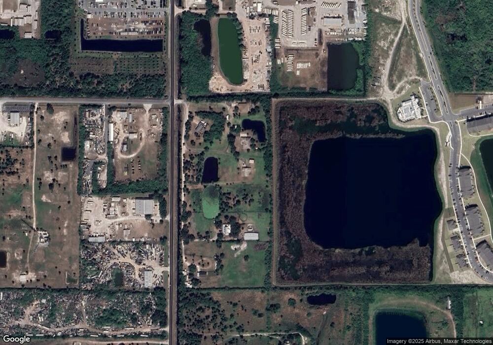
Map
Nearby Homes
- 695 Lantana St
- 913 Trinity St
- 408 Stowe Ln
- 926 Trinity St
- 2409 Granger Rd
- 00 Pluckebaum Rd
- 519 Denson St
- 369 Western Ave
- 2472 Victor Rd
- 966 Trinity St
- 977 Trinity St
- 3875 Smart St
- 0 State Route 520 Unit MFRV4947135
- 1628 Sue Dr Unit B
- 2442 Dianne Dr
- 590 Sorrento Dr
- 2511 Hathaway Dr
- 999 Trinity St
- 1435 W King St Unit A38
- 465 Sorrento Dr
- 310 S Range Rd
- 370 S Range Rd
- 300 S Range Rd
- 298 S Range Rd
- 400 S Range Rd
- 0 Parrish Rd
- 00000 Parrish & Burnett Corner Rd
- 0000 Parrish Rd
- 0 Parrish Rd Unit 584056
- 535 S Range Rd
- 450 S Range Rd
- 2195 W King St
- 2195 W King St
- 2193 W King St
- 2193 W King St
- 000 W Highway 520
- 305 Laredo Dr Unit 2-308
- 305 Laredo Dr Unit 5-304
- 305 Laredo Dr Unit 2-306
- 305 Laredo Dr Unit 5-301
Your Personal Tour Guide
Ask me questions while you tour the home.