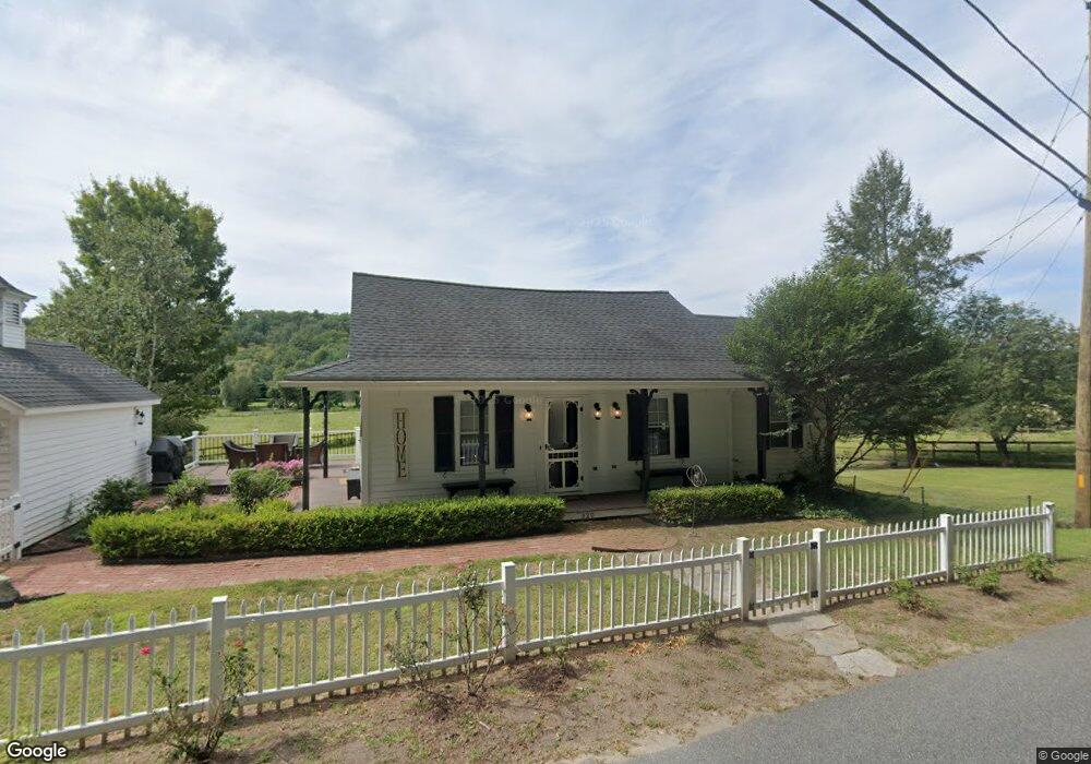
320 Scantic Rd Hampden, MA 01036
Estimated Value: $334,000 - $374,000
1
Bed
1
Bath
948
Sq Ft
$377/Sq Ft
Est. Value
About This Home
This home is located at 320 Scantic Rd, Hampden, MA 01036 and is currently estimated at $357,307, approximately $376 per square foot. 320 Scantic Rd is a home located in Hampden County with nearby schools including Minnechaug Regional High School.
Ownership History
Date
Name
Owned For
Owner Type
Purchase Details
Closed on
Dec 6, 2021
Sold by
Cimmino Geri A
Bought by
Picknelly Paul C
Current Estimated Value
Purchase Details
Closed on
Feb 12, 1993
Sold by
Cimmino Michael A and Cimmino Gerri A
Bought by
Scibelli Leonora
Purchase Details
Closed on
Sep 7, 1988
Sold by
Meisner Wayne A
Bought by
Cimmino Michael A
Home Financials for this Owner
Home Financials are based on the most recent Mortgage that was taken out on this home.
Original Mortgage
$60,000
Interest Rate
10.48%
Create a Home Valuation Report for This Property
The Home Valuation Report is an in-depth analysis detailing your home's value as well as a comparison with similar homes in the area
Home Values in the Area
Average Home Value in this Area
Purchase History
| Date | Buyer | Sale Price | Title Company |
|---|---|---|---|
| Picknelly Paul C | $300,000 | None Available | |
| Scibelli Leonora | $80,000 | -- | |
| Cimmino Michael A | $59,000 | -- |
Source: Public Records
Mortgage History
| Date | Status | Borrower | Loan Amount |
|---|---|---|---|
| Previous Owner | Cimmino Michael A | $60,000 |
Source: Public Records
Tax History
| Year | Tax Paid | Tax Assessment Tax Assessment Total Assessment is a certain percentage of the fair market value that is determined by local assessors to be the total taxable value of land and additions on the property. | Land | Improvement |
|---|---|---|---|---|
| 2025 | $3,268 | $216,600 | $75,500 | $141,100 |
| 2024 | $2,980 | $190,300 | $67,900 | $122,400 |
| 2023 | $3,283 | $194,600 | $67,900 | $126,700 |
| 2022 | $3,205 | $171,200 | $67,900 | $103,300 |
| 2021 | $3,194 | $162,400 | $67,900 | $94,500 |
| 2020 | $3,155 | $156,600 | $77,600 | $79,000 |
| 2019 | $2,997 | $152,200 | $77,600 | $74,600 |
| 2018 | $3,038 | $151,900 | $77,600 | $74,300 |
| 2017 | $2,930 | $151,900 | $77,600 | $74,300 |
| 2016 | $2,910 | $150,300 | $80,000 | $70,300 |
| 2015 | $2,598 | $136,900 | $80,000 | $56,900 |
Source: Public Records
Map
Nearby Homes
- 175 Scantic Rd
- 261 Chapin Rd
- Lot 2R &3 Chapin Rd
- 155 S Monson Rd
- 179 Chapin Rd
- Lot D South Rd
- 8 S Ridge Rd
- 0 Mountain Rd Unit 73267162
- 0 Mountain Rd Unit 72942534
- 285 Lower Hampden Rd
- 41 Martin Farms Rd
- 188 Bumstead Rd
- 24 Haas Rd
- 175 Stafford Rd
- 190 Root Rd
- 102 Bogan Rd
- 230V Burleigh Rd
- 64 Somerset Ln
- 201 Diamond Ledge Rd
- 107 Baldwin Dr
- 325 Scantic Rd
- 303 Scantic Rd
- 300 Scantic Rd
- 47 Stafford Rd
- 2 Stafford Rd
- 34 Thresher Rd
- 307 Scantic Rd
- 22 Rock a Dundee Rd
- 285 Scantic Rd
- 22 Stafford Rd
- 291 Scantic Rd
- 41 Thresher Rd
- 32 Rock a Dundee Rd
- 36 Thresher Rd
- 31 Rock a Dundee Rd
- 23 Stafford Rd
- 273 Scantic Rd
- 47 Thresher Rd
- 278 Scantic Rd
- 43 Rock a Dundee Rd
Your Personal Tour Guide
Ask me questions while you tour the home.