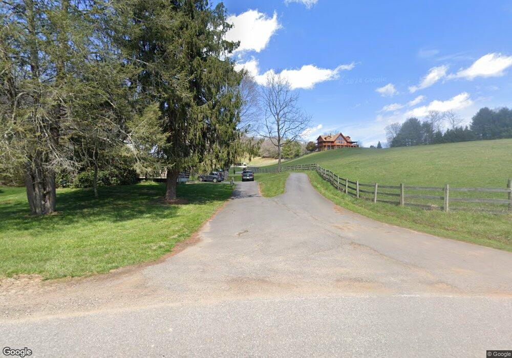
320 Stevenson Cove Rd Waynesville, NC 28785
Estimated Value: $589,000 - $1,472,756
3
Beds
3
Baths
1,484
Sq Ft
$595/Sq Ft
Est. Value
About This Home
This home is located at 320 Stevenson Cove Rd, Waynesville, NC 28785 and is currently estimated at $883,439, approximately $595 per square foot. 320 Stevenson Cove Rd is a home located in Haywood County with nearby schools including Riverbend Elementary, Waynesville Middle, and Tuscola High.
Ownership History
Date
Name
Owned For
Owner Type
Purchase Details
Closed on
Jan 19, 2009
Sold by
Patton Ward Harris and Lovelace Ruth Ann
Bought by
Patton Ward Harris and The Ward Harris Patton Iii Revocable Tru
Current Estimated Value
Purchase Details
Closed on
Oct 24, 2005
Sold by
Rock Hill Development Llc
Bought by
Patton Ward H
Home Financials for this Owner
Home Financials are based on the most recent Mortgage that was taken out on this home.
Original Mortgage
$30,000
Interest Rate
5.66%
Mortgage Type
Seller Take Back
Create a Home Valuation Report for This Property
The Home Valuation Report is an in-depth analysis detailing your home's value as well as a comparison with similar homes in the area
Home Values in the Area
Average Home Value in this Area
Purchase History
| Date | Buyer | Sale Price | Title Company |
|---|---|---|---|
| Patton Ward Harris | -- | None Available | |
| Patton Ward H | $30,000 | None Available |
Source: Public Records
Mortgage History
| Date | Status | Borrower | Loan Amount |
|---|---|---|---|
| Closed | Patton Ward H | $30,000 |
Source: Public Records
Tax History Compared to Growth
Tax History
| Year | Tax Paid | Tax Assessment Tax Assessment Total Assessment is a certain percentage of the fair market value that is determined by local assessors to be the total taxable value of land and additions on the property. | Land | Improvement |
|---|---|---|---|---|
| 2025 | -- | $1,036,500 | $263,700 | $772,800 |
| 2024 | $6,703 | $871,663 | $113,763 | $757,900 |
| 2023 | $5,766 | $871,663 | $113,763 | $757,900 |
| 2022 | $5,635 | $871,663 | $113,763 | $757,900 |
| 2021 | $5,635 | $871,663 | $113,763 | $757,900 |
| 2020 | $4,640 | $654,795 | $77,895 | $576,900 |
| 2019 | $4,650 | $654,795 | $77,895 | $576,900 |
| 2018 | $4,650 | $654,795 | $0 | $0 |
| 2017 | $4,650 | $654,795 | $0 | $0 |
| 2016 | $4,716 | $684,477 | $0 | $0 |
| 2015 | $4,716 | $684,477 | $0 | $0 |
| 2014 | $4,334 | $684,477 | $0 | $0 |
Source: Public Records
Map
Nearby Homes
- 1714 Iron Duff Rd
- Lot 69 Falling Glen Dr Unit 69
- 0 Iron Duff Rd
- 1202 Iron Duff Rd
- 311 Coyote Hollow Rd
- 160 Turkey Hollow Ct
- 204 Ty Lea Dr
- 00 Ty Lea Dr
- 999 Coyote Hollow Rd Unit 39
- 0 Treeline Trail Unit 26041142
- 10 Gardening Frog Trail
- 966 Coyote Hollow Rd
- 956 Iron Duff Rd
- 593 Buck Ridge Rd
- 45 Ginger Ln
- 114 Nesting Ridge
- 00 Woodbine Rd
- 415 Crawford Rd
- 00 Wahwah Way Unit 17
- 00 Wahwah Way Unit 26
- 581 Cansadie Top Rd
- 226 Stevenson Cove Rd
- 147 Highland Ridge Dr
- 360 Stevenson Cove Rd
- 205 Autumn Ridge Ln
- 248 Highland Ridge Dr
- 371 Stevenson Cove Rd
- 53 Hillbrook Dr
- 200 Highland Ridge Dr
- 450 Stevenson Cove Rd
- 233 Eddies Trail
- 96 Highland Ridge Dr
- 85 Frog Holler Rd
- 472 Cansadie Top Rd
- 299 Cansadie Top Rd
- 77 Journeys Way
- 000 Sesame St Unit 9
- 50 Frog Holler Rd
- 298 Cansadie Top Rd
- 74 Sesame St