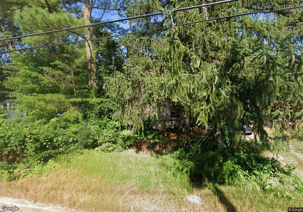
320 Truslow Rd Chestertown, MD 21620
Kingstown NeighborhoodEstimated Value: $277,000 - $350,000
Studio
1
Bath
1,400
Sq Ft
$213/Sq Ft
Est. Value
About This Home
This home is located at 320 Truslow Rd, Chestertown, MD 21620 and is currently estimated at $298,176, approximately $212 per square foot. 320 Truslow Rd is a home located in Queen Anne's County with nearby schools including Church Hill Elementary School, Sudlersville Middle School, and Queen Anne's County High School.
Ownership History
Date
Name
Owned For
Owner Type
Purchase Details
Closed on
Oct 19, 2017
Sold by
Massey Emily Louise
Bought by
Diamond Joseph J H
Current Estimated Value
Purchase Details
Closed on
Nov 20, 1984
Sold by
Carter Charles W
Bought by
Massey Emily L
Home Financials for this Owner
Home Financials are based on the most recent Mortgage that was taken out on this home.
Original Mortgage
$30,000
Interest Rate
13.63%
Create a Home Valuation Report for This Property
The Home Valuation Report is an in-depth analysis detailing your home's value as well as a comparison with similar homes in the area
Home Values in the Area
Average Home Value in this Area
Purchase History
| Date | Buyer | Sale Price | Title Company |
|---|---|---|---|
| Diamond Joseph J H | -- | None Available | |
| Massey Emily L | $40,000 | -- |
Source: Public Records
Mortgage History
| Date | Status | Borrower | Loan Amount |
|---|---|---|---|
| Previous Owner | Massey Emily L | $30,000 |
Source: Public Records
Tax History
| Year | Tax Paid | Tax Assessment Tax Assessment Total Assessment is a certain percentage of the fair market value that is determined by local assessors to be the total taxable value of land and additions on the property. | Land | Improvement |
|---|---|---|---|---|
| 2025 | $2,340 | $242,000 | $84,500 | $157,500 |
| 2024 | $2,242 | $231,600 | $0 | $0 |
| 2023 | $2,144 | $221,200 | $0 | $0 |
| 2022 | $2,046 | $210,800 | $84,500 | $126,300 |
| 2021 | $1,930 | $202,900 | $0 | $0 |
| 2020 | $1,930 | $195,000 | $0 | $0 |
| 2019 | $1,854 | $187,100 | $74,500 | $112,600 |
| 2018 | $1,854 | $187,100 | $74,500 | $112,600 |
| 2017 | $1,854 | $187,100 | $0 | $0 |
| 2016 | -- | $188,200 | $0 | $0 |
| 2015 | $733 | $188,200 | $0 | $0 |
| 2014 | $733 | $188,200 | $0 | $0 |
Source: Public Records
Map
Nearby Homes
- 0 East St
- 104 Garland Ave
- 704 Truslow Rd
- 205 River Rd
- 117 N Water St Unit 1A, 1B, 2A, & 2B
- 117 N Water St Unit 2B
- 117 N Water St Unit 2A
- 117 N Water St Unit 1A
- 117 N Water St Unit 1B
- 105 High St
- 228 S Water St
- 206 S Water St
- 106 S Queen St
- 101 Coleman Dr
- 108 Little Harbor Way
- 104 Little Harbor Way
- 0 Little Harbor Way Unit 1
- 0 Little Harbor Way Unit 1 MDKE2004992
- 102 Little Harbor Way
- 118 Little Harbor Way Unit 201
Your Personal Tour Guide
Ask me questions while you tour the home.