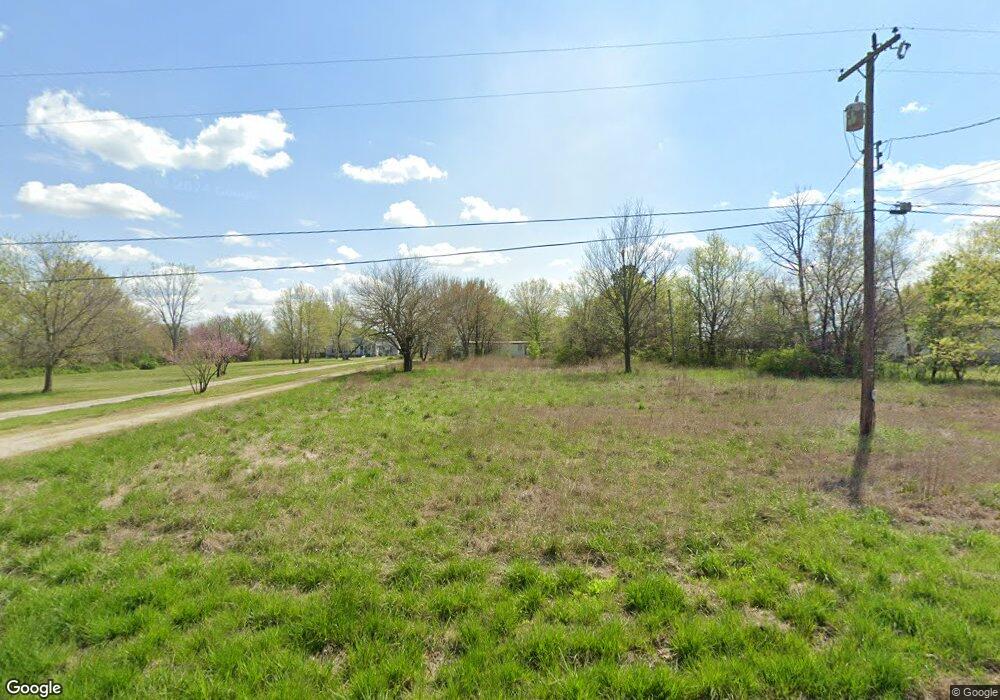
320 W 92nd St N Sperry, OK 74073
Estimated Value: $36,097 - $278,000
--
Bed
--
Bath
3,036
Sq Ft
$60/Sq Ft
Est. Value
About This Home
This home is located at 320 W 92nd St N, Sperry, OK 74073 and is currently estimated at $182,274, approximately $60 per square foot. 320 W 92nd St N is a home located in Osage County with nearby schools including Sperry Elementary School, Sperry Middle School, and Sperry High School.
Ownership History
Date
Name
Owned For
Owner Type
Purchase Details
Closed on
Dec 30, 2009
Sold by
Arvest Bank
Bought by
Brown Kevin B and Brown Terri L
Current Estimated Value
Purchase Details
Closed on
Nov 15, 2007
Sold by
Lewis Jane M
Bought by
Pebsworth Marshall H
Home Financials for this Owner
Home Financials are based on the most recent Mortgage that was taken out on this home.
Original Mortgage
$29,500
Interest Rate
6.42%
Mortgage Type
Purchase Money Mortgage
Purchase Details
Closed on
Nov 27, 2002
Sold by
Hendrix Terry W and Hendrix Patricia E
Bought by
Lewis Jane
Create a Home Valuation Report for This Property
The Home Valuation Report is an in-depth analysis detailing your home's value as well as a comparison with similar homes in the area
Home Values in the Area
Average Home Value in this Area
Purchase History
| Date | Buyer | Sale Price | Title Company |
|---|---|---|---|
| Brown Kevin B | $17,000 | Firstitle & Abstract Service | |
| Pebsworth Marshall H | $29,500 | Firstitle & Abstract Service | |
| Lewis Jane | $30,000 | Firstitle & Abstract Svcs In |
Source: Public Records
Mortgage History
| Date | Status | Borrower | Loan Amount |
|---|---|---|---|
| Previous Owner | Pebsworth Marshall H | $29,500 |
Source: Public Records
Tax History Compared to Growth
Tax History
| Year | Tax Paid | Tax Assessment Tax Assessment Total Assessment is a certain percentage of the fair market value that is determined by local assessors to be the total taxable value of land and additions on the property. | Land | Improvement |
|---|---|---|---|---|
| 2024 | $1,282 | $1,488 | $1,172 | $316 |
| 2023 | $1,282 | $12,536 | $1,903 | $10,633 |
| 2022 | $1,284 | $1,346 | $1,060 | $286 |
| 2021 | $1,448 | $1,277 | $1,191 | $86 |
| 2020 | $1,450 | $11,719 | $0 | $0 |
| 2019 | $1,459 | $1,277 | $1,191 | $86 |
| 2018 | $1,459 | $1,277 | $1,191 | $86 |
| 2017 | $1,414 | $2,277 | $2,123 | $154 |
| 2016 | $1,408 | $2,277 | $2,123 | $154 |
Source: Public Records
Map
Nearby Homes
- 2012 W 88th St N
- 0 Sunset Unit 2544339
- 0 Sunset Unit 2544356
- 9084 N Osage Dr
- 299 W Cherry
- 308 S Cincinnati Ave
- 8588 N Cincinnati Ave
- 1819 W Oak Knoll
- 202 W Ada St
- 9545 S Cincinnati St
- 9026 Crestwood Dr
- 109 N Coal St
- 10201 N Cincinnati Ave
- 9610 N Peoria Ave
- 2781 W 88th St N
- 0003 E 84th St N
- 4812 E 76th
- 9839 N Peoria Ave
- 2744 W 103rd St N
- 10044 N 30th West Ave
- 324 W 92nd St N
- 304 W 92nd St N
- 205 W 92nd St N
- 319 W 92nd St N
- 9103 N Osage Dr
- 315 W 92nd St N
- 321 W 92nd St N
- 325 W 92nd St N
- 325 W 92nd
- 309 W 92nd St N
- 329 W 92nd St N
- 333 W 92nd St N
- 9153 N Osage Dr
- null N 18th St
- 418 W 92nd St N
- 9205 N Osage Dr
- 9115 N Osage Dr
- 1727 W 92nd St N
- 9160 N Osage Dr
- 10 W 91st St N