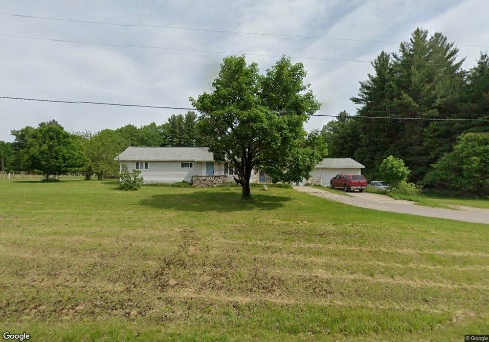
320 W Maple Ridge Rd Twining, MI 48766
Estimated Value: $195,000 - $219,369
Studio
--
Bath
--
Sq Ft
34.7
Acres
About This Home
This home is located at 320 W Maple Ridge Rd, Twining, MI 48766 and is currently estimated at $206,592. 320 W Maple Ridge Rd is a home located in Arenac County with nearby schools including Standish-Sterling Central High School.
Ownership History
Date
Name
Owned For
Owner Type
Purchase Details
Closed on
Mar 22, 2017
Sold by
Osier Anastasia and Champagne Lorna Louise
Bought by
Anderson Hiser Tracey Lee and Hiser Tracey Lee
Current Estimated Value
Home Financials for this Owner
Home Financials are based on the most recent Mortgage that was taken out on this home.
Original Mortgage
$66,800
Outstanding Balance
$52,841
Interest Rate
3.13%
Mortgage Type
Purchase Money Mortgage
Estimated Equity
$153,751
Purchase Details
Closed on
May 19, 2009
Sold by
Revord Rebecca Eve
Bought by
Champagne Lorna Louise and Osier Anastasia
Create a Home Valuation Report for This Property
The Home Valuation Report is an in-depth analysis detailing your home's value as well as a comparison with similar homes in the area
Purchase History
| Date | Buyer | Sale Price | Title Company |
|---|---|---|---|
| Anderson Hiser Tracey Lee | -- | None Available | |
| Champagne Lorna Louise | -- | -- |
Source: Public Records
Mortgage History
| Date | Status | Borrower | Loan Amount |
|---|---|---|---|
| Open | Anderson Hiser Tracey Lee | $66,800 |
Source: Public Records
Tax History
| Year | Tax Paid | Tax Assessment Tax Assessment Total Assessment is a certain percentage of the fair market value that is determined by local assessors to be the total taxable value of land and additions on the property. | Land | Improvement |
|---|---|---|---|---|
| 2025 | $1,582 | $96,900 | $0 | $0 |
| 2024 | $637 | $80,400 | $0 | $0 |
| 2023 | $607 | $73,000 | $0 | $0 |
| 2022 | $1,438 | $71,200 | $0 | $0 |
| 2021 | $1,411 | $61,000 | $0 | $0 |
| 2020 | $1,378 | $49,700 | $0 | $0 |
| 2019 | $1,128 | $48,000 | $0 | $0 |
| 2018 | $1,553 | $57,500 | $0 | $0 |
| 2017 | $0 | $54,300 | $0 | $0 |
| 2016 | $2,352 | $54,700 | $0 | $0 |
| 2015 | $585 | $58,100 | $0 | $0 |
| 2014 | $585 | $55,500 | $0 | $0 |
| 2013 | $1,326 | $55,500 | $0 | $0 |
Source: Public Records
Map
Nearby Homes
- 10 W Maple Ridge Rd
- 77 W Mason Rd
- 388 W Lagrant Rd
- N/A Lehman Rd
- 7212 W Dyer Rd
- 1240 N Young Rd
- 6824 Keystone Rd
- 6686 Keystone Rd
- 00 Maple Ridge Rd
- 227 N Lehman Rd
- 1409 N Crawford Rd
- 837 W Jose Rd
- 00 S Crawford Rd
- 3144 W Maple Ridge Rd
- 7207 Prescott Rd
- N/A Crosby Rd
- 5229 Sage Lake Rd
- 316 S Bullock St
- 1870 Michigan 65
- 220 E Harrison St
- 416 W Maple Ridge Rd
- 284 W Maple Ridge Rd
- 284 W Maple Ridge Rd
- 240 W Maple Ridge Rd
- 351 W Maple Ridge Rd
- 287 W Maple Ridge Rd
- 229 W Maple Ridge Rd
- 2720 N M-65
- 2019 N M 65
- 444 W Maple Ridge Rd
- 369 W Mason Rd
- 369 W Mason Rd
- 203 W Maple Ridge Rd
- 259 W Mason Rd
- 331 W Mason Rd
- 287 W Mason Rd
- 2041 N Lehman Rd
- 2138 N Lehman Rd
- 364 W Mason Rd
- 90 W Maple Ridge Rd
Your Personal Tour Guide
Ask me questions while you tour the home.