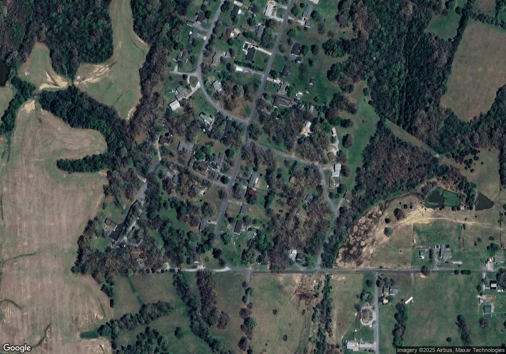
320 Watson Rd Paducah, KY 42003
Estimated Value: $188,463 - $221,000
3
Beds
--
Bath
1,277
Sq Ft
$162/Sq Ft
Est. Value
About This Home
This home is located at 320 Watson Rd, Paducah, KY 42003 and is currently estimated at $207,366, approximately $162 per square foot. 320 Watson Rd is a home located in McCracken County with nearby schools including Reidland Elementary School, Reidland Intermediate School, and Reidland Middle School.
Ownership History
Date
Name
Owned For
Owner Type
Purchase Details
Closed on
Sep 15, 2023
Sold by
Sherretz Richard J and Sherretz Vicki S
Bought by
Lowery Brock and Lapierre Cheryl
Current Estimated Value
Home Financials for this Owner
Home Financials are based on the most recent Mortgage that was taken out on this home.
Original Mortgage
$135,450
Outstanding Balance
$132,545
Interest Rate
6.9%
Mortgage Type
New Conventional
Estimated Equity
$74,821
Purchase Details
Closed on
Aug 15, 2023
Sold by
Miller Travis M
Bought by
Sherretz Richard J and Sherretz Vicki S
Home Financials for this Owner
Home Financials are based on the most recent Mortgage that was taken out on this home.
Original Mortgage
$135,450
Outstanding Balance
$132,545
Interest Rate
6.9%
Mortgage Type
New Conventional
Estimated Equity
$74,821
Purchase Details
Closed on
Mar 26, 2018
Sold by
Sherretz Richard J and Sherretz Vicki S
Bought by
Miller Travis M
Create a Home Valuation Report for This Property
The Home Valuation Report is an in-depth analysis detailing your home's value as well as a comparison with similar homes in the area
Home Values in the Area
Average Home Value in this Area
Purchase History
| Date | Buyer | Sale Price | Title Company |
|---|---|---|---|
| Lowery Brock | $150,500 | None Listed On Document | |
| Sherretz Richard J | -- | -- | |
| Miller Travis M | -- | Mcmurry And Livingston Pllc |
Source: Public Records
Mortgage History
| Date | Status | Borrower | Loan Amount |
|---|---|---|---|
| Open | Lowery Brock | $135,450 |
Source: Public Records
Tax History Compared to Growth
Tax History
| Year | Tax Paid | Tax Assessment Tax Assessment Total Assessment is a certain percentage of the fair market value that is determined by local assessors to be the total taxable value of land and additions on the property. | Land | Improvement |
|---|---|---|---|---|
| 2024 | $1,506 | $150,500 | $0 | $0 |
| 2023 | $605 | $108,500 | $0 | $0 |
| 2022 | $673 | $68,000 | $0 | $0 |
| 2021 | $672 | $68,000 | $0 | $0 |
| 2020 | $685 | $69,200 | $0 | $0 |
| 2019 | $682 | $69,200 | $0 | $0 |
| 2018 | $691 | $70,900 | $0 | $0 |
| 2017 | $1,027 | $108,500 | $0 | $0 |
| 2016 | $1,027 | $108,500 | $0 | $0 |
| 2015 | $997 | $108,500 | $0 | $0 |
| 2013 | $997 | $108,500 | $0 | $0 |
| 2012 | $997 | $108,500 | $0 | $0 |
Source: Public Records
Map
Nearby Homes
- 130 Redbud Dr
- 225 Wilton Cir
- 155 Meadow Ridge Dr
- 0000 Benton Rd
- 1630 Powers Rd
- 7505 Della Ln
- 1615 Powers Rd
- 1615 Powers Rd Unit (McCracken Co. 32.02
- 6815 Greenfield Dr
- 6785 Stonepoint Ct
- 550 Pioneer Ln
- 413 Golden Acres Loop
- 0 U S Highway 68 E
- 6633 Benton Rd
- 6525 Benton Rd
- 147 Edwards Dr Unit 153 Edwards Dr
- 210 Brentwood Dr
- 526 Sharpe School Rd
- 452 Tudor Blvd
- 449 Tudor Blvd
- 330 Watson Rd
- 310 Watson Rd
- 340 Watson Rd
- 315 Watson Rd
- 135 Sullivan Ave
- 360 Watson Rd
- 305 Watson Rd
- 100 Redbud Dr
- 201 Sullivan Ave
- 280 Watson Rd
- 130 Sullivan Ave
- 355 Watson Rd
- 115 Redbud Dr
- 221 Greyhound Cir
- 255 Sullivan Ave
- 270 Watson Rd
- 150 Sullivan Ave
- 1700 Mcintosh Rd
- 200 Sullivan Ave
- 265 Sullivan Ave
