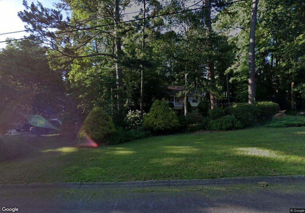
320 West Ln Unit 2 Woodstock, GA 30188
Union Hill NeighborhoodEstimated Value: $422,542 - $423,000
3
Beds
2
Baths
2,190
Sq Ft
$193/Sq Ft
Est. Value
About This Home
This home is located at 320 West Ln Unit 2, Woodstock, GA 30188 and is currently estimated at $422,771, approximately $193 per square foot. 320 West Ln Unit 2 is a home located in Cherokee County with nearby schools including Arnold Mill Elementary School, Mill Creek Middle School, and River Ridge High School.
Ownership History
Date
Name
Owned For
Owner Type
Purchase Details
Closed on
Jan 18, 2024
Sold by
Carter Edgar W
Bought by
Carter Edgar W and Larkin Elizabeth L
Current Estimated Value
Purchase Details
Closed on
Feb 19, 2002
Sold by
Lyon Linda L
Bought by
Carter Edgar W
Purchase Details
Closed on
Sep 16, 1999
Sold by
Carter Edgar W
Bought by
Carter Edgar W
Purchase Details
Closed on
Jan 8, 1999
Sold by
Jones Terry L and Jones Karen K
Bought by
Carter Edgar W
Home Financials for this Owner
Home Financials are based on the most recent Mortgage that was taken out on this home.
Original Mortgage
$108,000
Interest Rate
6.72%
Mortgage Type
New Conventional
Create a Home Valuation Report for This Property
The Home Valuation Report is an in-depth analysis detailing your home's value as well as a comparison with similar homes in the area
Home Values in the Area
Average Home Value in this Area
Purchase History
| Date | Buyer | Sale Price | Title Company |
|---|---|---|---|
| Carter Edgar W | -- | -- | |
| Carter Edgar W | -- | -- | |
| Carter Edgar W | -- | -- | |
| Carter Edgar W | $135,000 | -- |
Source: Public Records
Mortgage History
| Date | Status | Borrower | Loan Amount |
|---|---|---|---|
| Previous Owner | Carter Edgar W | $108,000 |
Source: Public Records
Tax History Compared to Growth
Tax History
| Year | Tax Paid | Tax Assessment Tax Assessment Total Assessment is a certain percentage of the fair market value that is determined by local assessors to be the total taxable value of land and additions on the property. | Land | Improvement |
|---|---|---|---|---|
| 2024 | $744 | $154,616 | $33,600 | $121,016 |
| 2023 | $602 | $153,616 | $36,000 | $117,616 |
| 2022 | $691 | $126,016 | $25,920 | $100,096 |
| 2021 | $699 | $112,136 | $24,000 | $88,136 |
| 2020 | $648 | $97,536 | $19,680 | $77,856 |
| 2019 | $588 | $81,720 | $18,240 | $63,480 |
| 2018 | $571 | $74,440 | $18,240 | $56,200 |
| 2017 | $563 | $172,000 | $16,800 | $52,000 |
| 2016 | $569 | $164,400 | $16,800 | $48,960 |
| 2015 | $574 | $156,400 | $16,800 | $45,760 |
| 2014 | $555 | $145,900 | $16,800 | $41,560 |
Source: Public Records
Map
Nearby Homes
- 516 E Cherokee Ct
- 120 Sweetbriar Farm Rd
- 106 Thornwood Dr
- 102 River Marsh Ln
- 112 River Marsh Ln
- 2875 Trickum Rd
- 217 Sweetbriar Club Dr
- 303 Council Bluff
- 5090 Eubanks Rd
- 524 S Holly Springs Rd
- 112 Sunnybrook Ln
- 126 Highlands Dr Unit 1
- 512 S Holly Springs Rd
- 2011 Meadows Dr Unit VI
- 806 Westover Ct
- 2007 Meadows Dr
- 316 West Ln
- 217 Forest Way
- 219 Forest Way
- 324 West Ln Unit 2
- 314 West Ln
- 215 Forest Way
- 221 Forest Way Unit 2
- 317 West Ln
- 319 West Ln Unit 2
- 315 West Ln
- 321 West Ln
- 213 Forest Way Unit 2
- 223 Forest Way Unit 2
- 326 West Ln Unit 2
- 323 West Ln
- 211 Forest Way
- 225 Forest Way
- 325 West Ln
- 311 West Ln
- 310 West Ln