320 Wheatland Ave Logansport, IN 46947
Estimated Value: $75,000 - $101,713
2
Beds
1
Bath
1,284
Sq Ft
$69/Sq Ft
Est. Value
About This Home
This home is located at 320 Wheatland Ave, Logansport, IN 46947 and is currently estimated at $88,428, approximately $68 per square foot. 320 Wheatland Ave is a home located in Cass County with nearby schools including Logansport Community High School and All Saints Catholic School.
Ownership History
Date
Name
Owned For
Owner Type
Purchase Details
Closed on
Mar 22, 2024
Sold by
Runyon Michael A
Bought by
Dreantlife Properties Llc
Current Estimated Value
Create a Home Valuation Report for This Property
The Home Valuation Report is an in-depth analysis detailing your home's value as well as a comparison with similar homes in the area
Home Values in the Area
Average Home Value in this Area
Purchase History
| Date | Buyer | Sale Price | Title Company |
|---|---|---|---|
| Dreantlife Properties Llc | $5,000 | None Listed On Document |
Source: Public Records
Tax History Compared to Growth
Tax History
| Year | Tax Paid | Tax Assessment Tax Assessment Total Assessment is a certain percentage of the fair market value that is determined by local assessors to be the total taxable value of land and additions on the property. | Land | Improvement |
|---|---|---|---|---|
| 2024 | -- | $37,200 | $5,900 | $31,300 |
| 2023 | -- | $37,600 | $5,900 | $31,700 |
| 2022 | $0 | $40,600 | $5,900 | $34,700 |
| 2021 | $0 | $40,600 | $5,900 | $34,700 |
| 2020 | $0 | $40,600 | $5,900 | $34,700 |
| 2019 | $0 | $37,900 | $5,900 | $32,000 |
| 2018 | $0 | $34,200 | $5,900 | $28,300 |
| 2017 | $0 | $34,200 | $6,400 | $27,800 |
| 2016 | -- | $34,200 | $6,400 | $27,800 |
| 2014 | -- | $33,600 | $6,400 | $27,200 |
| 2013 | -- | $33,000 | $6,400 | $26,600 |
Source: Public Records
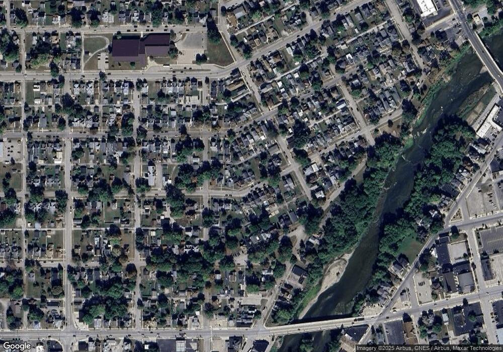
Map
Nearby Homes
- 325 Wheatland Ave
- 424 W Broadway
- 218 W Miami Ave
- 514 W Linden Ave
- 80 Eel River Ave
- 442 Bates St
- 435 Washington St
- 20 Wheatland Ave
- 136 W Ottawa St
- 115 W Ottawa St
- 603 Bates St
- 108 N Cicott St
- 908 W Miami Ave
- 715 State St
- 115 Tanguy St
- 840 Helm St
- 225 E Columbia St
- 0 Spring St
- 320 W Clay St
- 1335 N 3rd St
- 324 Wheatland Ave
- 314 Wheatland Ave
- 330 Wheatland Ave
- 306 Wheatland Ave
- 334 Wheatland Ave
- 321 W Linden Ave
- 319 W Linden Ave
- 315 W Linden Ave
- 311 W Linden Ave
- 342 Wheatland Ave
- 321 Wheatland Ave
- 317 Wheatland Ave
- 300 Wheatland Ave
- 311 Wheatland Ave
- 327 Wheatland Ave
- 313 Wheatland Ave
- 608 Brown St
- 346 Wheatland Ave
- 331 Wheatland Ave
- 305 Wheatland Ave