320 Wildfire Ln Burnsville, NC 28714
Estimated Value: $362,000 - $491,000
3
Beds
2
Baths
1,216
Sq Ft
$342/Sq Ft
Est. Value
About This Home
This home is located at 320 Wildfire Ln, Burnsville, NC 28714 and is currently estimated at $415,437, approximately $341 per square foot. 320 Wildfire Ln is a home with nearby schools including Mountain Heritage High School.
Ownership History
Date
Name
Owned For
Owner Type
Purchase Details
Closed on
Dec 10, 2019
Sold by
Mccurry David B and Mccurry Remona
Bought by
Wolff Cindy and Mcgregor Robert
Current Estimated Value
Purchase Details
Closed on
Aug 4, 2015
Sold by
Mccurry David B and Mccurry Remona
Bought by
Shepherd Billy J and Shepherd Lydia C
Purchase Details
Closed on
Jan 1, 1993
Bought by
Mccurry David B and Mccurry Remona
Create a Home Valuation Report for This Property
The Home Valuation Report is an in-depth analysis detailing your home's value as well as a comparison with similar homes in the area
Home Values in the Area
Average Home Value in this Area
Purchase History
| Date | Buyer | Sale Price | Title Company |
|---|---|---|---|
| Wolff Cindy | -- | None Available | |
| Shepherd Billy J | -- | None Available | |
| Mccurry David B | $25,000 | -- |
Source: Public Records
Tax History Compared to Growth
Tax History
| Year | Tax Paid | Tax Assessment Tax Assessment Total Assessment is a certain percentage of the fair market value that is determined by local assessors to be the total taxable value of land and additions on the property. | Land | Improvement |
|---|---|---|---|---|
| 2025 | $1,467 | $262,000 | $107,800 | $154,200 |
| 2024 | $1,779 | $317,600 | $135,700 | $181,900 |
| 2023 | $993 | $155,220 | $60,600 | $94,620 |
| 2022 | $974 | $155,220 | $60,600 | $94,620 |
| 2021 | $993 | $155,220 | $60,600 | $94,620 |
| 2020 | $993 | $155,220 | $60,600 | $94,620 |
| 2019 | $999 | $156,020 | $61,400 | $94,620 |
| 2018 | $999 | $156,020 | $61,400 | $94,620 |
| 2017 | $999 | $156,020 | $61,400 | $94,620 |
| 2016 | $999 | $156,020 | $61,400 | $94,620 |
| 2015 | $818 | $151,550 | $54,800 | $96,750 |
| 2014 | $818 | $151,550 | $54,800 | $96,750 |
Source: Public Records
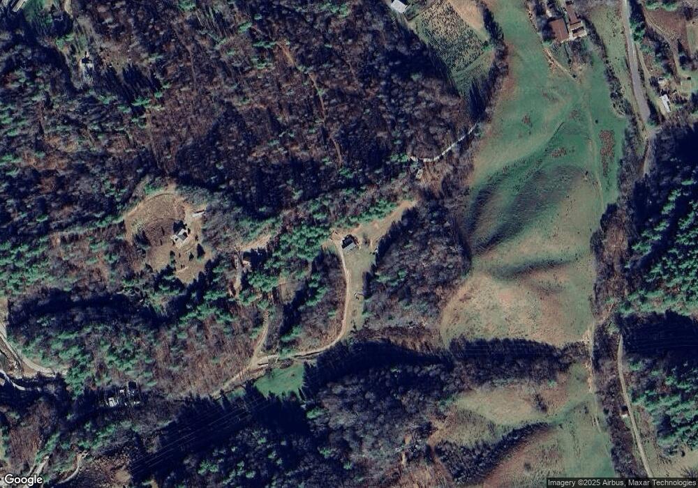
Map
Nearby Homes
- 00 Prices Creek Rd
- 124 W Dogwood Cir
- 300 Dogwood Ln
- 71 Banks Creek Rd
- TBD Banks Creek Rd
- 9999 River Edge Dr Unit 2
- 00 Riverside Hills Rd Unit 9
- 456 Maney Branch Rd
- 000 Maney Branch Rd
- 456 & 000 Maney Branch Rd
- 81 River Look Dr
- 117 River Look Dr
- 619 Leisure Ln
- 000 Mountain Air Dr
- 208 Stillwater Springs Rd
- 57 Stillwater Springs Rd
- 0 Cane Mountain Ln Unit 9967935
- 0 Cane Mountain Ln Unit CAR4287202
- 0 Cane Mountain Ln Unit 250665
- 137 Red Maple Ln
- 200 Wildfire Ln
- 000 Banks Creek Rd
- 380 Silver Maple Ln
- 36 Wildfire Ln
- 379 Banks Creek Rd
- 1179 Cane River School Rd
- 98 Heritage Way
- 241 Banks Creek Rd
- 2 Banks Creek Rd
- 327 Cane River Church Rd
- LOT 13 Banks Creek Unit 6/13
- 148 Banks Creek Rd
- 017 Banks Creek Unit 17/6
- 249 Banks Creek Rd
- 014 Banks Creek Unit 14/6
- 256 Cane River Church Rd
- 96 Silver Maple Ln
- 231 Prices Creek Rd
- 278 Banks Creek Rd
- 301 Husky Ln