320 Williams Cir Toccoa, GA 30577
Estimated Value: $92,221 - $243,000
2
Beds
1
Bath
1,568
Sq Ft
$113/Sq Ft
Est. Value
About This Home
This home is located at 320 Williams Cir, Toccoa, GA 30577 and is currently estimated at $177,074, approximately $112 per square foot. 320 Williams Cir is a home located in Stephens County with nearby schools including Stephens County High School.
Ownership History
Date
Name
Owned For
Owner Type
Purchase Details
Closed on
Jan 10, 2018
Sold by
White Daniel C
Bought by
White Daniel Charles and White April Michelle
Current Estimated Value
Home Financials for this Owner
Home Financials are based on the most recent Mortgage that was taken out on this home.
Original Mortgage
$142,776
Outstanding Balance
$107,723
Interest Rate
3.93%
Mortgage Type
New Conventional
Estimated Equity
$69,351
Purchase Details
Closed on
Apr 29, 2015
Sold by
White Kathleen S
Bought by
White Daniel C
Purchase Details
Closed on
Sep 24, 2001
Bought by
White Kathleen S
Purchase Details
Closed on
Feb 1, 1998
Bought by
<Buyer Info Not Present>
Create a Home Valuation Report for This Property
The Home Valuation Report is an in-depth analysis detailing your home's value as well as a comparison with similar homes in the area
Purchase History
| Date | Buyer | Sale Price | Title Company |
|---|---|---|---|
| White Daniel Charles | -- | -- | |
| White Daniel C | -- | -- | |
| White Kathleen S | $99,000 | -- | |
| <Buyer Info Not Present> | $79,900 | -- |
Source: Public Records
Mortgage History
| Date | Status | Borrower | Loan Amount |
|---|---|---|---|
| Open | White Daniel Charles | $142,776 |
Source: Public Records
Tax History
| Year | Tax Paid | Tax Assessment Tax Assessment Total Assessment is a certain percentage of the fair market value that is determined by local assessors to be the total taxable value of land and additions on the property. | Land | Improvement |
|---|---|---|---|---|
| 2025 | $371 | $13,499 | $9,005 | $4,494 |
| 2024 | $351 | $11,512 | $9,005 | $2,507 |
| 2023 | $343 | $11,512 | $9,005 | $2,507 |
| 2022 | $343 | $11,512 | $9,005 | $2,507 |
| 2021 | $386 | $12,347 | $9,005 | $3,342 |
| 2020 | $390 | $12,347 | $9,005 | $3,342 |
| 2019 | $378 | $11,918 | $8,576 | $3,342 |
| 2018 | $480 | $17,123 | $8,576 | $8,547 |
Source: Public Records
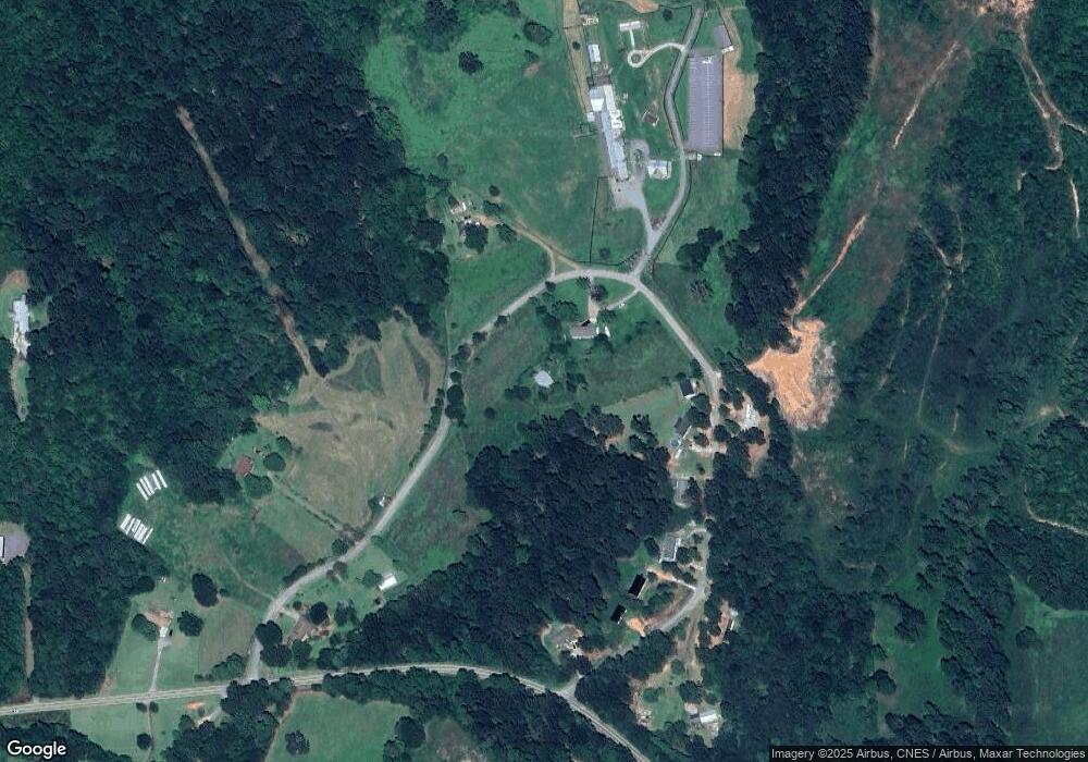
Map
Nearby Homes
- 3.35 ACRES Keener Rd
- 513 S Red Rock Rd
- 46 Cedar Ridge Dr
- 900 Defoor Rd
- 451 Defoor Rd
- Lot 21 Deer Chase
- 8 Fornoff Dr
- 535 Deer Chase
- 78 Wards Pond Way
- 2986 Defoor Rd
- 68 Wards Pond Way
- 12 Ward's Pond Way
- 5.10 ACRES Hwy 123
- 109 Coneflower Ln
- 300 Rock Creek Trail
- 101 Cottage Ln
- 15 Cottage Ln
- 15 Cottage Ln Unit 102
- 17 Cottage Ln Unit 202
- 29 Cottage Ln
- 5173 Williams Cir Unit B
- 517 Williams Cir Unit B
- 534 Williams Cir
- 498 Williams Cir
- 576 Williams Cir
- 620 Williams Cir
- 341 Williams Cir
- 341 Williams Cir Unit 55+ Acres
- 295 Williams Cir
- 101 Williams Cir
- 535 Williams Cir
- 48 Williams Cir
- 581 Williams Cir
- 49 Williams Cir
- 4514 Rock Creek Rd
- 4201 Rock Creek Rd
- 31 Mitchell Rd
- 801 Old Brookhaven Cir
- 751 Old Brookhaven Cir
- 775 Old Brookhaven Cir
Your Personal Tour Guide
Ask me questions while you tour the home.