3200 Gretna Rd Unit 115 Branson, MO 65616
North Branson Neighborhood
--
Bed
1
Bath
1,430
Sq Ft
3.63
Acres
About This Home
This home is located at 3200 Gretna Rd Unit 115, Branson, MO 65616. 3200 Gretna Rd Unit 115 is a home located in Taney County with nearby schools including Cedar Ridge Primary, Cedar Ridge Intermediate School, and Cedar Ridge Elementary School.
Ownership History
Date
Name
Owned For
Owner Type
Purchase Details
Closed on
Apr 23, 2019
Sold by
Djoyce Holdings Llc
Bought by
Cv Wind Llc
Purchase Details
Closed on
Apr 22, 2019
Sold by
Rcd Holdings Llc
Bought by
Cv Wind Llc
Purchase Details
Closed on
Mar 5, 2015
Sold by
Branson Land Partners Llc
Bought by
Daa Holdings Llc and Djoyce Holdings Llc
Purchase Details
Closed on
Dec 13, 2012
Sold by
Sw Gretina Road Lp
Bought by
Branson Land Partners Llc
Home Financials for this Owner
Home Financials are based on the most recent Mortgage that was taken out on this home.
Original Mortgage
$1,300,000
Interest Rate
3.41%
Mortgage Type
Future Advance Clause Open End Mortgage
Purchase Details
Closed on
Dec 13, 2011
Sold by
Crk Properties Inc
Bought by
Sw Gretna Road Lp
Purchase Details
Closed on
Aug 29, 2011
Sold by
Goodfellas Investments Ii Llc
Bought by
Stillwater National Bank And Trust Co
Create a Home Valuation Report for This Property
The Home Valuation Report is an in-depth analysis detailing your home's value as well as a comparison with similar homes in the area
Home Values in the Area
Average Home Value in this Area
Purchase History
| Date | Buyer | Sale Price | Title Company |
|---|---|---|---|
| Cv Wind Llc | -- | None Available | |
| Cv Wind Llc | -- | None Available | |
| Cv Wind Llc | -- | None Available | |
| Daa Holdings Llc | -- | None Available | |
| Branson Land Partners Llc | -- | None Available | |
| Sw Gretna Road Lp | -- | None Available | |
| Stillwater National Bank And Trust Co | $950,000 | -- |
Source: Public Records
Mortgage History
| Date | Status | Borrower | Loan Amount |
|---|---|---|---|
| Previous Owner | Branson Land Partners Llc | $1,300,000 |
Source: Public Records
Tax History Compared to Growth
Tax History
| Year | Tax Paid | Tax Assessment Tax Assessment Total Assessment is a certain percentage of the fair market value that is determined by local assessors to be the total taxable value of land and additions on the property. | Land | Improvement |
|---|---|---|---|---|
| 2025 | $26,461 | $528,810 | -- | -- |
| 2023 | $26,461 | $481,390 | $0 | $0 |
| 2022 | $25,752 | $481,390 | $0 | $0 |
| 2021 | $25,590 | $481,390 | $0 | $0 |
| 2019 | $26,669 | $481,390 | $0 | $0 |
| 2018 | $26,685 | $481,390 | $0 | $0 |
| 2017 | $26,440 | $481,390 | $0 | $0 |
| 2016 | $26,377 | $481,390 | $0 | $0 |
| 2015 | $26,136 | $481,390 | $0 | $0 |
| 2014 | $35,776 | $689,880 | $0 | $0 |
Source: Public Records
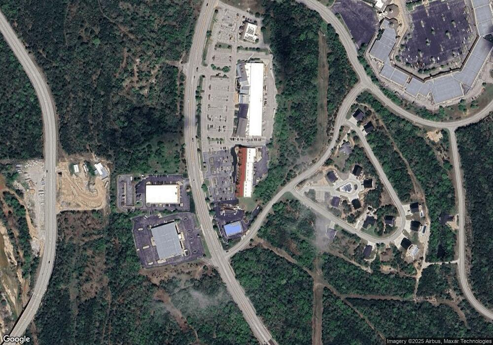
Map
Nearby Homes
- 119 Cottonwood Cir
- 126 Cottonwood Cir
- 3500 Gretna Rd
- 2534 Shepherd of the Hills Expy
- 3330 Shepherd of the Hills Expy
- 0 Summerwood Dr Unit 60304411
- 000 Gretna Rd
- Tbd Gretna Rd
- 575 Gretna Rd
- 0 Roark Valley Rd
- 000 Roark Valley Rd
- Tbd Roark Valley Rd
- 000 Branson Meadows Dr
- 504 Doctor Good Dr
- 1814 Miller Dr
- 3002 N Vineyards Terrace Unit 4
- 3002 N Vineyards Terrace Unit 3
- 3012 N Vineyards Terrace Unit 6
- 3007 N Vineyards Terrace Unit 2
- 3010 N Vineyards Terrace Unit 6
- 3200 Gretna Rd Unit 110
- 3200 Gretna Rd
- 3200 Gretna Rd Unit 120 B
- 3200 Gretna Rd Unit 120 A
- 3200 Gretna Rd Unit 140
- 3200 Gretna Rd Unit 105
- Lot #9 Summerwood Estates
- 0 Ivy Ln
- 3300 Gretna Rd Unit Suite B
- 3300 Gretna Rd
- 3179 Gretna Rd
- Lot 24 Gretna
- 3101 Gretna Rd
- 100 Cottonwood Trail
- 100 Cottonwood Trail Unit 2c
- 200 Cottonwood Cir
- Lot 4 Cottonwood
- 0 Lot 19 Town & Country Unit 30339105
- 17 Cottonwood Cir
- 13 Cottonwood Cir