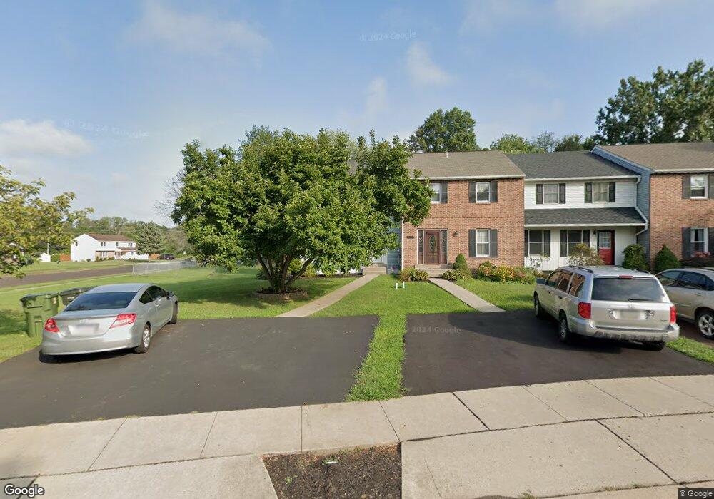
3200 Roxbury Rd Hatfield, PA 19440
Estimated Value: $395,000 - $405,000
3
Beds
2
Baths
1,672
Sq Ft
$239/Sq Ft
Est. Value
About This Home
This home is located at 3200 Roxbury Rd, Hatfield, PA 19440 and is currently estimated at $398,847, approximately $238 per square foot. 3200 Roxbury Rd is a home located in Montgomery County with nearby schools including A. M. Kulp Elementary School, Pennfield Middle School, and North Penn Senior High School.
Ownership History
Date
Name
Owned For
Owner Type
Purchase Details
Closed on
Jul 30, 2007
Sold by
Marlin Nichelle and Marlin Daniel M
Bought by
Adcock Jennifer and Adcock Brian K
Current Estimated Value
Home Financials for this Owner
Home Financials are based on the most recent Mortgage that was taken out on this home.
Original Mortgage
$234,555
Outstanding Balance
$148,963
Interest Rate
6.72%
Estimated Equity
$249,884
Purchase Details
Closed on
Mar 30, 2001
Sold by
Cals Ronney F and Cals Carolyn R
Bought by
Marlin Daniel M and Marlin Nichelle
Create a Home Valuation Report for This Property
The Home Valuation Report is an in-depth analysis detailing your home's value as well as a comparison with similar homes in the area
Home Values in the Area
Average Home Value in this Area
Purchase History
| Date | Buyer | Sale Price | Title Company |
|---|---|---|---|
| Adcock Jennifer | $246,900 | None Available | |
| Marlin Daniel M | $124,900 | -- |
Source: Public Records
Mortgage History
| Date | Status | Borrower | Loan Amount |
|---|---|---|---|
| Open | Adcock Jennifer | $234,555 |
Source: Public Records
Tax History Compared to Growth
Tax History
| Year | Tax Paid | Tax Assessment Tax Assessment Total Assessment is a certain percentage of the fair market value that is determined by local assessors to be the total taxable value of land and additions on the property. | Land | Improvement |
|---|---|---|---|---|
| 2025 | $5,023 | $125,460 | $26,860 | $98,600 |
| 2024 | $5,023 | $125,460 | $26,860 | $98,600 |
| 2023 | $4,808 | $125,460 | $26,860 | $98,600 |
| 2022 | $4,651 | $125,460 | $26,860 | $98,600 |
| 2021 | $4,519 | $125,460 | $26,860 | $98,600 |
| 2020 | $4,412 | $125,460 | $26,860 | $98,600 |
| 2019 | $4,338 | $125,460 | $26,860 | $98,600 |
| 2018 | $4,338 | $125,460 | $26,860 | $98,600 |
| 2017 | $4,173 | $125,460 | $26,860 | $98,600 |
| 2016 | $4,124 | $125,460 | $26,860 | $98,600 |
| 2015 | $3,958 | $125,460 | $26,860 | $98,600 |
| 2014 | $3,958 | $125,460 | $26,860 | $98,600 |
Source: Public Records
Map
Nearby Homes
- 1533 School Rd
- 657 Birchwood Ct
- 0 Fairmount St
- 2317 E Orvilla Rd
- 2690 Anthony Dr
- 2674 Anthony Dr
- 2405 Line Lexington Rd
- 2331 Cambridge Cir
- 165 Township Line Rd
- 2244 Lenhart Rd
- 453 S Main St
- 732 Cowpath Rd
- 333 Union St Unit 4
- 1717 Lisa Ct
- 1503 Emily Ct
- 3 Diamond St
- 1242 W Orvilla Rd
- 2546 N Broad St
- 1714 Moyer Rd
- 105 S Main St
- 3204 Roxbury Rd
- 3208 Roxbury Rd
- 3212 Roxbury Rd
- 1433 Independence Way
- 3216 Roxbury Rd
- 1424 Independence Way
- 1416 Independence Way
- 3228 Roxbury Rd
- 1457 Independence Way
- 1377 Independence Way
- 3232 Roxbury Rd
- 3236 Roxbury Rd
- 1457 Downing Dr
- 1392 Independence Way
- 3240 Roxbury Rd
- 1441 Downing Dr
- 3244 Roxbury Rd
- 1368 Independence Way
- 3233 Roxbury Rd
- 1353 Independence Way