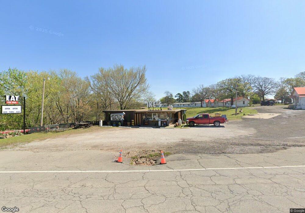
32002 Highway 82 Cookson, OK 74427
Estimated Value: $70,374
--
Bed
--
Bath
1,400
Sq Ft
$50/Sq Ft
Est. Value
About This Home
This home is located at 32002 Highway 82, Cookson, OK 74427 and is currently estimated at $70,374, approximately $50 per square foot. 32002 Highway 82 is a home located in Cherokee County.
Ownership History
Date
Name
Owned For
Owner Type
Purchase Details
Closed on
Sep 27, 2022
Sold by
Parker and Terri
Bought by
Beard Dwight and Pollard Justin
Current Estimated Value
Purchase Details
Closed on
Jan 15, 2010
Sold by
Beard David
Bought by
Parker Mike and Parker Terri
Purchase Details
Closed on
Jun 22, 1998
Sold by
Clyde E Enlow
Bought by
Michael and Terri Parker
Purchase Details
Closed on
Oct 24, 1997
Sold by
Bank Iv Oklahoma
Bought by
Clyde E Enlow
Create a Home Valuation Report for This Property
The Home Valuation Report is an in-depth analysis detailing your home's value as well as a comparison with similar homes in the area
Home Values in the Area
Average Home Value in this Area
Purchase History
| Date | Buyer | Sale Price | Title Company |
|---|---|---|---|
| Beard Dwight | $65,000 | -- | |
| Parker Mike | -- | None Available | |
| Michael | $21,500 | -- | |
| Clyde E Enlow | $15,500 | -- |
Source: Public Records
Tax History Compared to Growth
Tax History
| Year | Tax Paid | Tax Assessment Tax Assessment Total Assessment is a certain percentage of the fair market value that is determined by local assessors to be the total taxable value of land and additions on the property. | Land | Improvement |
|---|---|---|---|---|
| 2024 | $617 | $7,150 | $990 | $6,160 |
| 2023 | $617 | $7,150 | $990 | $6,160 |
| 2022 | $481 | $6,083 | $990 | $5,093 |
| 2021 | $485 | $6,083 | $990 | $5,093 |
| 2020 | $422 | $5,191 | $990 | $4,201 |
| 2019 | $415 | $5,179 | $990 | $4,189 |
| 2018 | $393 | $4,932 | $990 | $3,942 |
| 2017 | $376 | $4,698 | $990 | $3,708 |
| 2016 | $389 | $4,866 | $990 | $3,876 |
| 2015 | $364 | $4,635 | $990 | $3,645 |
| 2014 | $363 | $4,635 | $990 | $3,645 |
Source: Public Records
Map
Nearby Homes
- 21331 W Cookson Bend Rd
- 32617 S 543 Rd
- 4429300 State Highway 82
- 11129300 State Highway 82
- 13029300 State Highway 82
- 11029300 State Highway 82
- 5029300 State Highway 82
- 6629300 State Highway 82
- 13129300 State Highway 82
- 7929300 State Highway 82
- 7829300 State Highway 82
- 7729300 State Highway 82
- 32340 S Skyline Dr
- 30998 S Molly Brown Rd
- 31720 S 533 Rd
- 32174 S Boulder Rd
- 19460 W 925 Rd
- 21245 W 888 Rd
- 31663 S 530 Rd
- 21595 W 888 Rd
- 36678 S 512 Rd
- 111 White Oak
- 0 Cowbell Unit 2333351
- 32507 Highway 82
- 32087 Highway 82
- 21587 W Cookson Bend Rd
- 32172 Highway 82
- 32132 Highway 82
- 32135 Hwy 82
- 21569 W Cookson Bend Rd
- 31824 S Molly Brown Rd
- 32181 Highway 82
- 32226 Highway 82
- 32227 Highway 82
- 31758 S Molly Brown Mountain Rd
- 19069 W Arrowwood Rd
- 32216 Highway 82
- 31720 Highway 82
- 32321 Highway 82