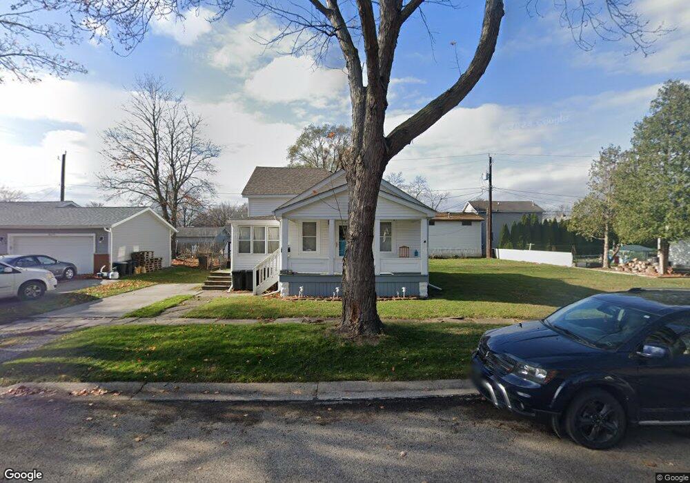
3201 Elk St Port Huron, MI 48060
Estimated Value: $142,000 - $172,000
2
Beds
1
Bath
900
Sq Ft
$172/Sq Ft
Est. Value
About This Home
This home is located at 3201 Elk St, Port Huron, MI 48060 and is currently estimated at $155,045, approximately $172 per square foot. 3201 Elk St is a home located in St. Clair County with nearby schools including Garfield Elementary School, Holland Woods Middle School, and Port Huron Northern High School.
Ownership History
Date
Name
Owned For
Owner Type
Purchase Details
Closed on
May 15, 2025
Sold by
Herrera Amanda Devaun
Bought by
Rodriguez Robert
Current Estimated Value
Purchase Details
Closed on
Nov 20, 2023
Sold by
Rodriquez Robert Lee
Bought by
Herrera Amanda Devaun
Purchase Details
Closed on
Oct 11, 2023
Sold by
Smith Cora Norma and Rodriguez Robert
Bought by
Rodriguez Robert
Purchase Details
Closed on
Aug 24, 2007
Sold by
Holmes Merceda E and Holmes Albert J
Bought by
Smith Cora Norma
Create a Home Valuation Report for This Property
The Home Valuation Report is an in-depth analysis detailing your home's value as well as a comparison with similar homes in the area
Home Values in the Area
Average Home Value in this Area
Purchase History
| Date | Buyer | Sale Price | Title Company |
|---|---|---|---|
| Rodriguez Robert | -- | None Listed On Document | |
| Rodriguez Robert | -- | None Listed On Document | |
| Herrera Amanda Devaun | $146,208 | None Listed On Document | |
| Rodriguez Robert | -- | None Listed On Document | |
| Smith Cora Norma | $70,000 | None Available |
Source: Public Records
Tax History Compared to Growth
Tax History
| Year | Tax Paid | Tax Assessment Tax Assessment Total Assessment is a certain percentage of the fair market value that is determined by local assessors to be the total taxable value of land and additions on the property. | Land | Improvement |
|---|---|---|---|---|
| 2025 | $2,881 | $66,500 | $0 | $0 |
| 2024 | $2,487 | $61,400 | $0 | $0 |
| 2023 | $1,229 | $50,900 | $0 | $0 |
| 2022 | $1,248 | $40,700 | $0 | $0 |
| 2021 | $1,185 | $38,100 | $0 | $0 |
| 2020 | $1,198 | $36,500 | $36,500 | $0 |
| 2019 | $1,177 | $32,200 | $0 | $0 |
| 2018 | $1,151 | $32,200 | $0 | $0 |
| 2017 | $1,029 | $29,200 | $0 | $0 |
| 2016 | $872 | $29,200 | $0 | $0 |
| 2015 | $856 | $25,900 | $25,900 | $0 |
| 2014 | $856 | $24,000 | $24,000 | $0 |
| 2013 | -- | $23,500 | $0 | $0 |
Source: Public Records
Map
Nearby Homes
- 3214 Poplar St
- 1020 Sanborn St
- 3321 Stone St
- 1202 Palmer Ct
- 1424 Hazelwood Ln
- 2913 11th Ave
- 3455 Gratiot Ave
- 1531 Robinson St
- 1434 Schumaker St
- 1218 Garfield St
- 3208 Mount Vernon Rd
- 1116 Hancock St
- 2835 17th Ave
- 3419 Riverside Dr
- 2419 Cherry St
- 2812 19th Ave
- 2400 Stone St Unit 2414
- 909 Elmwood St
- 2431 Armour St
- 2215 Hancock St