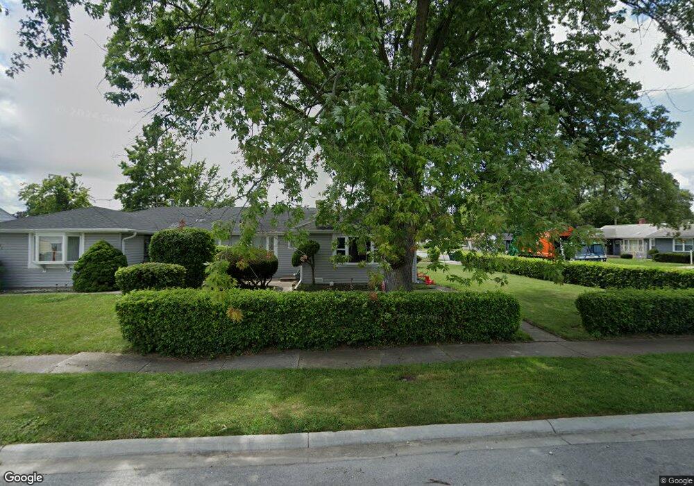
3201 Hendricks Rd Robbins, IL 60472
Estimated Value: $79,000 - $124,000
3
Beds
1
Bath
937
Sq Ft
$103/Sq Ft
Est. Value
About This Home
This home is located at 3201 Hendricks Rd, Robbins, IL 60472 and is currently estimated at $96,628, approximately $103 per square foot. 3201 Hendricks Rd is a home located in Cook County with nearby schools including Delia M. Turner Elementary School, Posen Intermediate School, and Thomas J. Kellar Middle School.
Ownership History
Date
Name
Owned For
Owner Type
Purchase Details
Closed on
Nov 10, 2006
Sold by
Bassett Henry
Bought by
J & B Iii Property Management Inc
Current Estimated Value
Purchase Details
Closed on
Apr 21, 2004
Sold by
Hud
Bought by
Bassett Henry
Purchase Details
Closed on
Jan 5, 1995
Sold by
Downs Cleother
Bought by
Butler Margaret E
Home Financials for this Owner
Home Financials are based on the most recent Mortgage that was taken out on this home.
Original Mortgage
$48,850
Interest Rate
9.27%
Mortgage Type
FHA
Create a Home Valuation Report for This Property
The Home Valuation Report is an in-depth analysis detailing your home's value as well as a comparison with similar homes in the area
Home Values in the Area
Average Home Value in this Area
Purchase History
| Date | Buyer | Sale Price | Title Company |
|---|---|---|---|
| J & B Iii Property Management Inc | -- | None Available | |
| Bassett Henry | -- | Stewart Title Of Illinois | |
| Butler Margaret E | $50,000 | -- |
Source: Public Records
Mortgage History
| Date | Status | Borrower | Loan Amount |
|---|---|---|---|
| Previous Owner | Butler Margaret E | $48,850 |
Source: Public Records
Tax History
| Year | Tax Paid | Tax Assessment Tax Assessment Total Assessment is a certain percentage of the fair market value that is determined by local assessors to be the total taxable value of land and additions on the property. | Land | Improvement |
|---|---|---|---|---|
| 2025 | $2,026 | $5,500 | $1,385 | $4,115 |
| 2024 | $2,026 | $5,500 | $1,385 | $4,115 |
| 2023 | $1,818 | $5,500 | $1,385 | $4,115 |
| 2022 | $1,818 | $3,878 | $1,231 | $2,647 |
| 2021 | $1,715 | $3,876 | $1,230 | $2,646 |
| 2020 | $1,666 | $3,876 | $1,230 | $2,646 |
| 2019 | $1,892 | $4,218 | $1,076 | $3,142 |
| 2018 | $1,812 | $4,218 | $1,076 | $3,142 |
| 2017 | $1,848 | $4,218 | $1,076 | $3,142 |
| 2016 | $1,706 | $3,843 | $923 | $2,920 |
| 2015 | $1,700 | $3,843 | $923 | $2,920 |
| 2014 | $1,679 | $3,843 | $923 | $2,920 |
| 2013 | $1,839 | $4,622 | $923 | $3,699 |
Source: Public Records
Map
Nearby Homes
- 14044 S Grace Ave
- 14039 S Claire Blvd
- 2808 W 140th Place
- 2829 W 140th St
- 3622 W 140th St
- 3747 W 140th Place
- 3648 W 139th Place
- 3743 W 140th St
- 3745 W 140th St
- 3302 W 139th St
- 3739 139th St
- 14328 Lawndale Ave
- 13801 S Spaulding Ave
- 3131 141st Place
- 3127 141st Place
- 13435 S Lawndale Ave
- 13719 S Spaulding Ave
- 3902 Claire Blvd
- 3744 W 137th St
- 3415 W 136th Place
- 3203 Hendricks Rd
- 14021 S Grace Ave
- 3205 Hendricks Rd
- 14023 S Grace Ave
- 14020 S Grace Ave
- 3207 Hendricks Rd
- 3155 Hendricks Rd
- 14022 S Grace Ave
- 14025 S Grace Ave
- 3200 Hendricks Rd
- 14024 S Grace Ave
- 3202 Hendricks Rd
- 3216 W Lydia Ave
- 3209 Hendricks Rd
- 3204 Hendricks Rd
- 3218 W Lydia Ave
- 14026 S Grace Ave
- 14027 S Grace Ave
- 14016 S Grace Ave
Your Personal Tour Guide
Ask me questions while you tour the home.