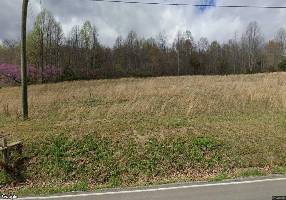
3201 Island Rd Bristol, VA 24201
Estimated Value: $256,000 - $728,000
4
Beds
2
Baths
5,916
Sq Ft
$99/Sq Ft
Est. Value
About This Home
This home is located at 3201 Island Rd, Bristol, VA 24201 and is currently estimated at $583,648, approximately $98 per square foot. 3201 Island Rd is a home located in Sullivan County with nearby schools including Virginia High School, Morrison School, and St. Anne Catholic School.
Ownership History
Date
Name
Owned For
Owner Type
Purchase Details
Closed on
Feb 21, 2025
Sold by
Gm Realty Partners Llc
Bought by
Michael And Lois Anderson Trust and Anderson
Current Estimated Value
Home Financials for this Owner
Home Financials are based on the most recent Mortgage that was taken out on this home.
Original Mortgage
$481,250
Outstanding Balance
$478,401
Interest Rate
6.93%
Mortgage Type
New Conventional
Estimated Equity
$105,247
Purchase Details
Closed on
Feb 9, 2020
Sold by
Akers Carolyn W
Bought by
Invest Realty Group
Create a Home Valuation Report for This Property
The Home Valuation Report is an in-depth analysis detailing your home's value as well as a comparison with similar homes in the area
Home Values in the Area
Average Home Value in this Area
Purchase History
| Date | Buyer | Sale Price | Title Company |
|---|---|---|---|
| Michael And Lois Anderson Trust | $687,500 | Investors Title | |
| Michael And Lois Anderson Trust | $687,500 | Investors Title | |
| Invest Realty Group | $187,000 | Attorney |
Source: Public Records
Mortgage History
| Date | Status | Borrower | Loan Amount |
|---|---|---|---|
| Open | Michael And Lois Anderson Trust | $481,250 | |
| Closed | Michael And Lois Anderson Trust | $481,250 |
Source: Public Records
Tax History Compared to Growth
Tax History
| Year | Tax Paid | Tax Assessment Tax Assessment Total Assessment is a certain percentage of the fair market value that is determined by local assessors to be the total taxable value of land and additions on the property. | Land | Improvement |
|---|---|---|---|---|
| 2025 | $1,522 | $163,700 | $18,000 | $145,700 |
| 2024 | $1,103 | $98,500 | $15,000 | $83,500 |
| 2023 | $1,152 | $98,500 | $15,000 | $83,500 |
| 2022 | $1,103 | $98,500 | $15,000 | $83,500 |
| 2021 | $1,103 | $98,500 | $15,000 | $83,500 |
| 2020 | $896 | $76,600 | $15,000 | $61,600 |
| 2019 | $896 | $76,600 | $15,000 | $61,600 |
| 2018 | $448 | $76,600 | $15,000 | $61,600 |
| 2016 | -- | $80,900 | $0 | $0 |
| 2015 | -- | $0 | $0 | $0 |
| 2014 | -- | $0 | $0 | $0 |
Source: Public Records
Map
Nearby Homes
- 1826 Pittstown Rd
- 147 Leonard St
- 203 Autumn Dr
- 1000 Garden Ln
- 160 Gouge St
- 733 Windmill Cir
- 22319 Campground Rd
- 980 Edgewood Ln
- 135 Montrose Dr
- 170 Montrose Dr
- 480 Ventura Cir
- 9247 Baker Ln
- 940 Park St
- 520 Ventura Cir
- 462 Ventura Cir
- 801 Prospect Ave
- 8355 Wagner Rd
- 1140 Foxcroft Rd
- 536 Meadow Dr
- 800 Pearl St
- 3201 Island Rd
- 3201 Island Rd Unit 1-6
- 1701 Island Rd Unit 1-6
- 1701 Island Rd
- 1705 Island Rd
- 1705-1707 Island Rd
- 1675 Island Rd
- 3189 Island Rd
- 1709 Island Rd
- 3231 Island Rd
- 1709-1711 Island Rd
- 1696 Island Rd
- 1714 Pittstown Rd
- 1736 Pittstown Rd
- 1736 Island Rd
- 1716 Island Rd
- 1690 Island Rd
- 1744 Island Rd
- TBA Island Rd
- 1647 Island Rd
