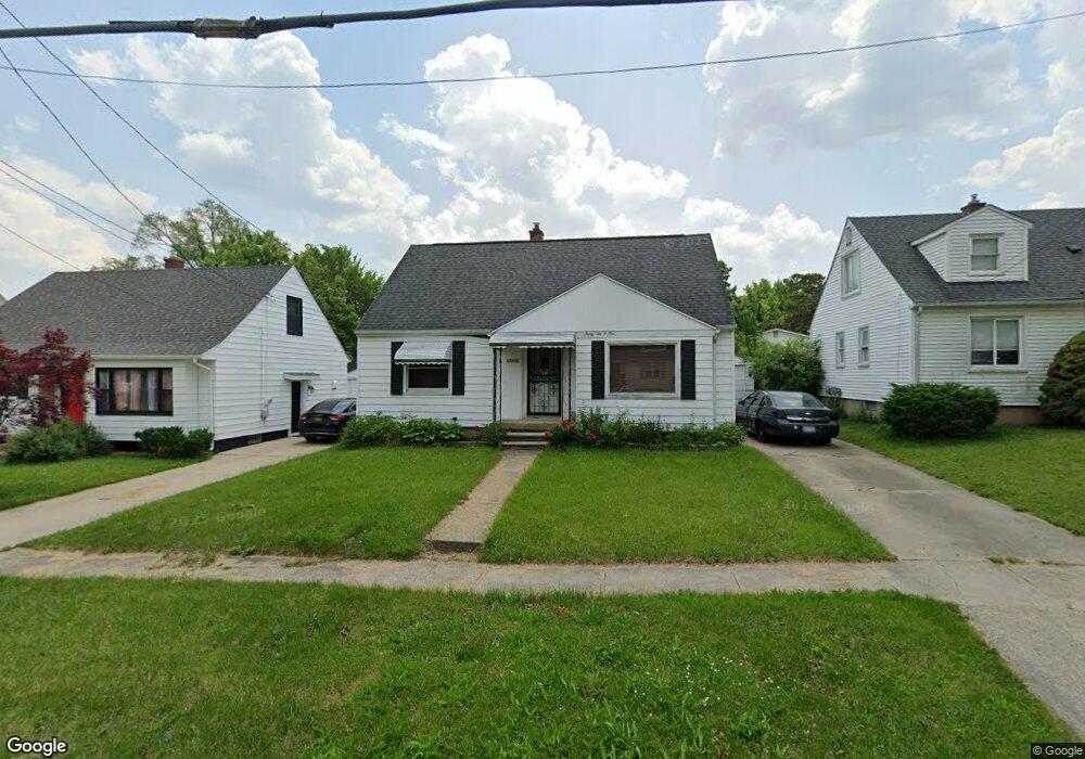
3201 Yale St Flint, MI 48503
Chevrolet NeighborhoodEstimated Value: $89,564 - $120,000
3
Beds
1
Bath
1,300
Sq Ft
$80/Sq Ft
Est. Value
About This Home
This home is located at 3201 Yale St, Flint, MI 48503 and is currently estimated at $104,641, approximately $80 per square foot. 3201 Yale St is a home located in Genesee County with nearby schools including Durant-Tuuri-Mott Elementary School, Flint Southwestern Classical Academy, and St. Paul Lutheran School.
Ownership History
Date
Name
Owned For
Owner Type
Purchase Details
Closed on
Mar 28, 2011
Sold by
Donovan Shaun
Bought by
Hildreth Todd
Current Estimated Value
Purchase Details
Closed on
Dec 16, 2010
Sold by
Everbank
Bought by
The Secretary Housing & Urban Developmen
Purchase Details
Closed on
May 5, 2010
Sold by
Taylor Daniel R and Taylor Darla L
Bought by
Everbank
Purchase Details
Closed on
Mar 15, 2005
Sold by
Molnar Jon M and Molnar Onalee N
Bought by
Taylor Daniel
Purchase Details
Closed on
Aug 30, 2001
Sold by
The Michael D & Wanda J Angus Revocable
Bought by
Molnar Jon M
Create a Home Valuation Report for This Property
The Home Valuation Report is an in-depth analysis detailing your home's value as well as a comparison with similar homes in the area
Home Values in the Area
Average Home Value in this Area
Purchase History
| Date | Buyer | Sale Price | Title Company |
|---|---|---|---|
| Hildreth Todd | $16,210 | None Available | |
| The Secretary Housing & Urban Developmen | -- | None Available | |
| Everbank | $95,096 | None Available | |
| Taylor Daniel | $97,000 | Guaranty Title Company | |
| Molnar Jon M | $84,900 | -- |
Source: Public Records
Tax History Compared to Growth
Tax History
| Year | Tax Paid | Tax Assessment Tax Assessment Total Assessment is a certain percentage of the fair market value that is determined by local assessors to be the total taxable value of land and additions on the property. | Land | Improvement |
|---|---|---|---|---|
| 2025 | $1,443 | $34,600 | $0 | $0 |
| 2024 | $1,291 | $32,600 | $0 | $0 |
| 2023 | $1,259 | $26,400 | $0 | $0 |
| 2022 | $0 | $22,500 | $0 | $0 |
| 2021 | $1,319 | $21,500 | $0 | $0 |
| 2020 | $1,174 | $21,000 | $0 | $0 |
| 2019 | $1,134 | $19,500 | $0 | $0 |
| 2018 | $1,168 | $19,600 | $0 | $0 |
| 2017 | $1,132 | $0 | $0 | $0 |
| 2016 | $1,124 | $0 | $0 | $0 |
| 2015 | -- | $0 | $0 | $0 |
| 2014 | -- | $0 | $0 | $0 |
| 2012 | -- | $22,100 | $0 | $0 |
Source: Public Records
Map
Nearby Homes
- 3402 Brandon St
- 3305 Larchmont St
- 3001 Yale St
- 2926 Yale St
- 3506 Chicago Blvd
- 3102 Westwood Pkwy
- 3214 Clairmont St
- 3401 Westwood Pkwy
- 3217 Arlene Ave
- 1414 Knapp Ave
- 1326 Hughes Ave
- 1318 Knapp Ave
- 3813 Larchmont St
- 1412 S Ballenger Hwy
- 1308 Barney Ave
- 1217 Barney Ave
- 3918 Larchmont St
- 1202 Knapp Ave
- 1122 Stocker Ave
- 3413 Augusta St