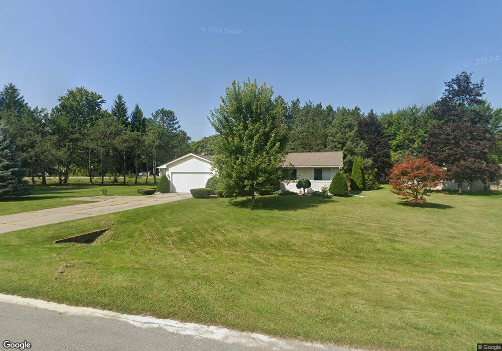
3201 Yorkshire Dr Port Huron, MI 48060
Estimated Value: $200,000 - $245,000
--
Bed
--
Bath
1,216
Sq Ft
$185/Sq Ft
Est. Value
About This Home
This home is located at 3201 Yorkshire Dr, Port Huron, MI 48060 and is currently estimated at $224,697, approximately $184 per square foot. 3201 Yorkshire Dr is a home located in St. Clair County with nearby schools including Michigamme Elementary School, Central Middle School, and Port Huron High School.
Ownership History
Date
Name
Owned For
Owner Type
Purchase Details
Closed on
Jun 23, 2005
Sold by
Ellis Michelle M
Bought by
Kelly Elizabeth A
Current Estimated Value
Home Financials for this Owner
Home Financials are based on the most recent Mortgage that was taken out on this home.
Original Mortgage
$149,900
Outstanding Balance
$78,810
Interest Rate
5.87%
Mortgage Type
New Conventional
Estimated Equity
$145,887
Create a Home Valuation Report for This Property
The Home Valuation Report is an in-depth analysis detailing your home's value as well as a comparison with similar homes in the area
Home Values in the Area
Average Home Value in this Area
Purchase History
| Date | Buyer | Sale Price | Title Company |
|---|---|---|---|
| Kelly Elizabeth A | $149,000 | None Available |
Source: Public Records
Mortgage History
| Date | Status | Borrower | Loan Amount |
|---|---|---|---|
| Open | Kelly Elizabeth A | $149,900 |
Source: Public Records
Tax History Compared to Growth
Tax History
| Year | Tax Paid | Tax Assessment Tax Assessment Total Assessment is a certain percentage of the fair market value that is determined by local assessors to be the total taxable value of land and additions on the property. | Land | Improvement |
|---|---|---|---|---|
| 2025 | $2,933 | $100,800 | $0 | $0 |
| 2024 | $932 | $94,400 | $0 | $0 |
| 2023 | $860 | $81,300 | $0 | $0 |
| 2022 | $2,670 | $70,800 | $0 | $0 |
| 2021 | $2,448 | $82,200 | $0 | $0 |
| 2020 | $2,448 | $78,400 | $0 | $78,400 |
| 2019 | $2,433 | $46,200 | $0 | $0 |
| 2018 | $2,313 | $46,200 | $0 | $0 |
| 2017 | $2,274 | $46,500 | $0 | $0 |
| 2016 | $706 | $46,500 | $0 | $0 |
| 2015 | -- | $41,800 | $0 | $41,800 |
| 2014 | -- | $40,600 | $40,600 | $0 |
| 2013 | -- | $40,000 | $0 | $0 |
Source: Public Records
Map
Nearby Homes
- 4224 Atkins Rd
- 4361 Peck Rd
- 3230 Range Rd
- 3115 Spruce Dr
- 3152 Spruce Dr
- 3345 Beach Rd
- 3993 N River Rd
- 3971 N River Rd
- 4608 Huntington Dr
- 4460 Cambridge Dr
- 4167 N River Rd
- 4224 N River Rd
- 3580 Angus Rd
- 2863 Beach Rd
- 0000 W Water St
- 3625 Angus Rd
- 4570 Atkins Rd
- 4220 E Surrey Ln
- 3560 Milton Rd
- Lot #9 Thornton Dr
- 3205 Berkshire St
- 4269 Atkins Rd
- 3196 Yorkshire Dr
- 3206 Yorkshire Dr
- 4261 Atkins Rd
- 4257 Atkins Rd
- 3215 Berkshire St
- 3186 Yorkshire Dr
- 3215 Yorkshire Dr
- 3176 Yorkshire Dr
- 3242 Yorkshire Dr
- 3225 Berkshire St
- 12 Spruce Dr
- 4270 Peck Rd
- 3246 Yorkshire Dr
- 4237 Peck Rd
- 4245 Peck Rd Unit 4247 Peck rd.
- 4247 Atkins Rd
- 4293 Atkins Rd
- 4251 Peck Rd