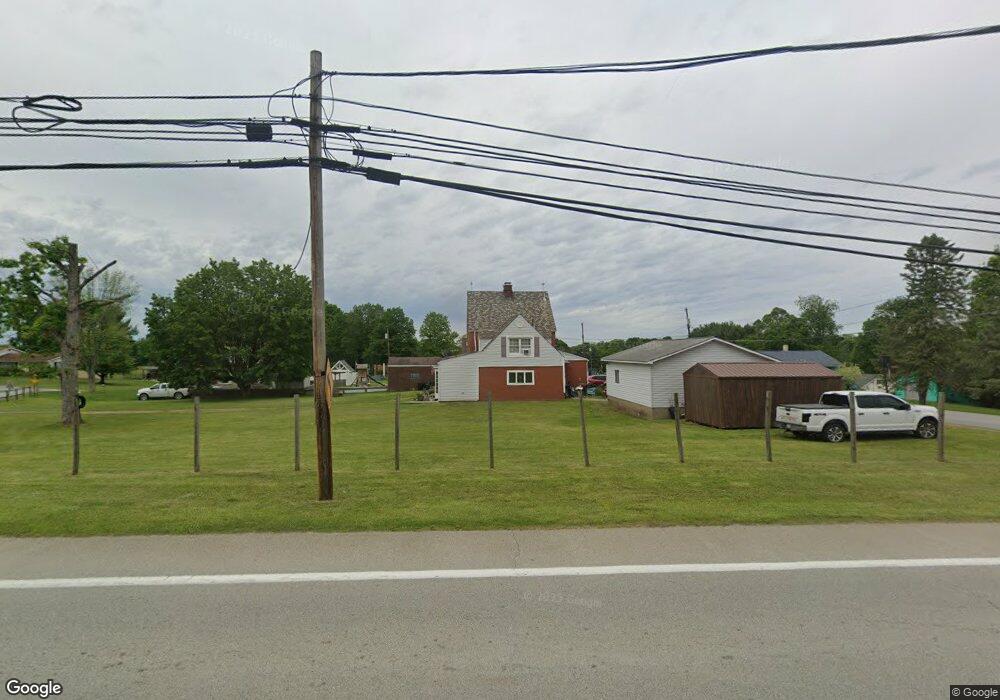
3202 Route 40 Fredericktown, PA 15333
Estimated Value: $189,000 - $237,000
3
Beds
2
Baths
2,032
Sq Ft
$104/Sq Ft
Est. Value
About This Home
This home is located at 3202 Route 40, Fredericktown, PA 15333 and is currently estimated at $210,591, approximately $103 per square foot. 3202 Route 40 is a home with nearby schools including Bethlehem Center Middle School and Bethlehem-Center Senior High School.
Ownership History
Date
Name
Owned For
Owner Type
Purchase Details
Closed on
Nov 2, 2010
Sold by
Lee Thomas A and Lee Allen B
Bought by
Ford Alyssa M and Ford Brenda
Current Estimated Value
Home Financials for this Owner
Home Financials are based on the most recent Mortgage that was taken out on this home.
Original Mortgage
$118,405
Outstanding Balance
$79,033
Interest Rate
4.5%
Mortgage Type
FHA
Estimated Equity
$131,558
Create a Home Valuation Report for This Property
The Home Valuation Report is an in-depth analysis detailing your home's value as well as a comparison with similar homes in the area
Home Values in the Area
Average Home Value in this Area
Purchase History
| Date | Buyer | Sale Price | Title Company |
|---|---|---|---|
| Ford Alyssa M | $120,000 | -- |
Source: Public Records
Mortgage History
| Date | Status | Borrower | Loan Amount |
|---|---|---|---|
| Open | Ford Alyssa M | $118,405 |
Source: Public Records
Tax History Compared to Growth
Tax History
| Year | Tax Paid | Tax Assessment Tax Assessment Total Assessment is a certain percentage of the fair market value that is determined by local assessors to be the total taxable value of land and additions on the property. | Land | Improvement |
|---|---|---|---|---|
| 2025 | $2,059 | $101,400 | $18,500 | $82,900 |
| 2024 | $1,797 | $101,400 | $18,500 | $82,900 |
| 2023 | $1,797 | $101,400 | $18,500 | $82,900 |
| 2022 | $1,744 | $101,400 | $18,500 | $82,900 |
| 2021 | $1,697 | $101,400 | $18,500 | $82,900 |
| 2020 | $1,658 | $101,400 | $18,500 | $82,900 |
| 2019 | $1,625 | $101,400 | $18,500 | $82,900 |
| 2018 | $1,625 | $101,400 | $18,500 | $82,900 |
| 2017 | $333 | $101,400 | $18,500 | $82,900 |
| 2016 | $333 | $13,356 | $2,783 | $10,573 |
| 2015 | -- | $13,356 | $2,783 | $10,573 |
| 2014 | $333 | $13,356 | $2,783 | $10,573 |
| 2013 | $333 | $13,356 | $2,783 | $10,573 |
Source: Public Records
Map
Nearby Homes
- 97 Emery Rd
- 0 Emery Rd
- 449 Spring St
- 407 Lower Spring Ln
- 330 Main St
- 1159 Old National Pike
- 22 Howes Ln
- 0 Highway 40 W
- 000 Maiden St
- 93 South St
- 3323 State Route 2011
- 2822 Main St
- 801 National Pike W
- 27 S California Dr
- 415 First St
- 104 2nd St
- 736 Front St
- 8 Crawford Rd
- 35 Beallsville Rd
- 444 Deems Park Rd