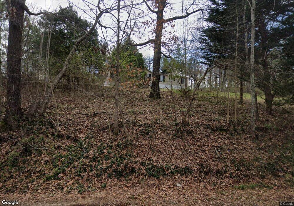
3203 Parker Roberts Rd Cedartown, GA 30125
Estimated Value: $264,000 - $449,000
4
Beds
3
Baths
2,508
Sq Ft
$144/Sq Ft
Est. Value
About This Home
This home is located at 3203 Parker Roberts Rd, Cedartown, GA 30125 and is currently estimated at $359,911, approximately $143 per square foot. 3203 Parker Roberts Rd is a home located in Polk County.
Ownership History
Date
Name
Owned For
Owner Type
Purchase Details
Closed on
Jan 3, 2017
Sold by
Lundy Catharine W
Bought by
Aaron James D and Aaron Carol G
Current Estimated Value
Home Financials for this Owner
Home Financials are based on the most recent Mortgage that was taken out on this home.
Original Mortgage
$147,283
Outstanding Balance
$120,072
Interest Rate
3.75%
Mortgage Type
FHA
Estimated Equity
$239,839
Purchase Details
Closed on
Aug 21, 2007
Sold by
Lundy William L
Bought by
Lundy Catherine W
Purchase Details
Closed on
Mar 21, 2007
Sold by
Not Provided
Bought by
Lundy Catharine W
Purchase Details
Closed on
Jan 2, 2007
Sold by
Not Provided
Bought by
Lundy Catharine W
Purchase Details
Closed on
Sep 15, 2003
Sold by
Aaron Carol E
Bought by
Aaron James D
Purchase Details
Closed on
Jan 31, 2003
Sold by
Morris Dennis S
Bought by
Aaron James D and Aaron Carol E
Create a Home Valuation Report for This Property
The Home Valuation Report is an in-depth analysis detailing your home's value as well as a comparison with similar homes in the area
Home Values in the Area
Average Home Value in this Area
Purchase History
| Date | Buyer | Sale Price | Title Company |
|---|---|---|---|
| Aaron James D | $150,000 | -- | |
| Lundy Catherine W | $105,169 | -- | |
| Lundy Catharine W | $104,569 | -- | |
| Lundy Catharine W | $85,000 | -- | |
| Aaron James D | -- | -- | |
| Aaron James D | $2,400 | -- |
Source: Public Records
Mortgage History
| Date | Status | Borrower | Loan Amount |
|---|---|---|---|
| Open | Aaron James D | $147,283 |
Source: Public Records
Tax History Compared to Growth
Tax History
| Year | Tax Paid | Tax Assessment Tax Assessment Total Assessment is a certain percentage of the fair market value that is determined by local assessors to be the total taxable value of land and additions on the property. | Land | Improvement |
|---|---|---|---|---|
| 2024 | $2,402 | $129,633 | $3,809 | $125,824 |
| 2023 | $1,892 | $93,110 | $3,809 | $89,301 |
| 2022 | $1,646 | $82,734 | $2,539 | $80,195 |
| 2021 | $1,667 | $82,734 | $2,539 | $80,195 |
| 2020 | $1,670 | $82,734 | $2,539 | $80,195 |
| 2019 | $1,748 | $78,416 | $2,539 | $75,877 |
| 2018 | $1,286 | $74,430 | $2,539 | $71,891 |
| 2017 | $2,025 | $74,430 | $2,539 | $71,891 |
| 2016 | $2,049 | $75,311 | $3,420 | $71,891 |
| 2015 | $2,075 | $76,026 | $3,420 | $72,606 |
| 2014 | $2,090 | $76,026 | $3,420 | $72,606 |
Source: Public Records
Map
Nearby Homes
- 0 Treat Mountain Rd Unit 7643015
- 0 Treat Mountain Rd Unit 7634123
- 0 Treat Mountain Rd Unit 10586157
- 0 Prior Station Rd Unit 7655613
- 0 Prior Station Rd Unit TRACT 1 10612520
- 0 Prior Station Rd Unit 23482404
- 0 Prior Station Rd Unit 10506511
- 0 Prior Station Rd Unit 7565415
- 0 Prior Station Rd Unit TRACT 4 10493804
- 0 Prior Station Rd Unit 7553984
- 0 Prior Station Rd Unit LotWP001 21901671
- 4244 Prior Station Rd
- 440 Treat Mountain Rd
- 745 Brewster Field Rd
- 13670 County Road 8
- TR 2 Culp Lake Rd
- TR 3 Culp Lake Rd
- 812 Brewster Field Rd
- 8702 Us Highway 278
- 1849 Prior Station Rd Unit 76 ACRES
- 00 Parker Roberts Rd
- 0 Blair Rd
- 0 Blair Rd Unit 7380478
- 0 Blair Rd Unit 8976207
- 0 Blair Rd Unit 8124098
- 0 Blair Rd Unit 5379004
- 0 Blair Rd Unit 5796903
- 0 Blair Rd Unit 8867275
- 0 Blair Rd Unit 6790687
- 0 Blair Rd Unit 8528936
- 0 Blair Rd Unit 6641879
- 0 Blair Rd Unit 8689508
- 0 Blair Rd Unit 8465545
- 3257 Parker Roberts Rd
- 3282 Parker Roberts Rd
- 3299 Parker Roberts Rd
- 3166 Parker Roberts Rd
- 388 Little Harmony Rd
- 3443 Parker Roberts Rd
- 398 Little Harmony Rd
